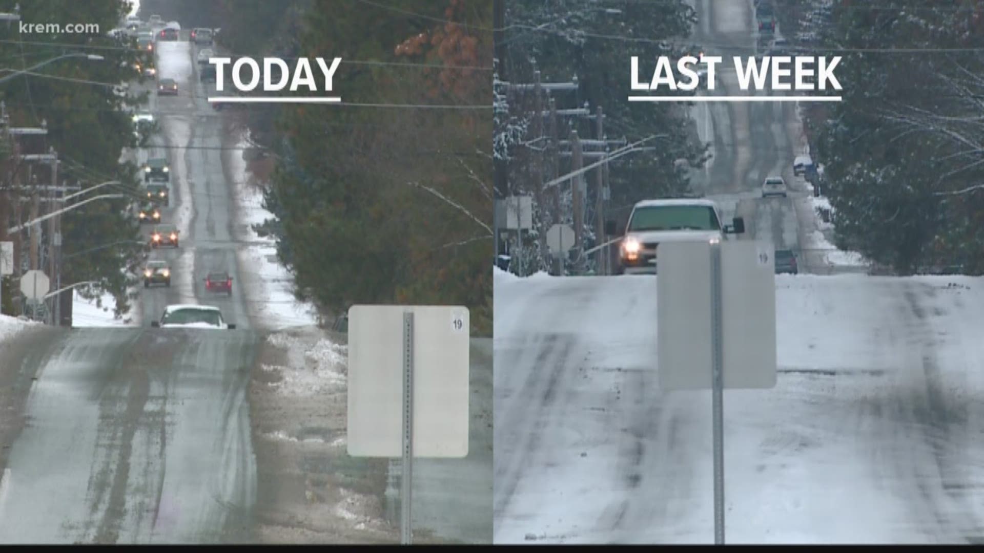
SPOKANE, Wash. — Spokane police responded to nearly 30 crashes in the city as snowy and icy roads snarled the Thursday morning commute.
The National Weather Service recorded two inches of snow in Spokane on Thursday morning. Timing of the snow and below freezing temperatures made for a slick commute.
Snow has since tapered off in the Spokane area.
Spokane Police Sgt. Terry Preuninger said there were about 26 crashes total before 11:30 a.m., with some of them involving multiple cars. One crash left a woman with serious injuries after she was struck while checking out the damage to her vehicle.
Police told KREM they responded to 34 crashes between midnight and early afternoon during last Wednesday's snowfall. Most of the crashes were concentrated on the South Hill.
Washington State Patrol Trooper Jeff Sevigney said troopers in District 4 responded to 44 crashes last Wednesday during the same time period. KREM has reached out to Sevigney for Thursday's numbers.
Conditions were again treacherous on many areas of the South Hill on Wednesday, including Walnut Street heading into downtown Spokane.
Cars also slid off the road on Interstate 90 and other highways near Coeur d'Alene.
City of Spokane snow crews began working to sand, deice and plow roads in the early morning hours, and are focusing their work on main roads and designated school routes.
The snow will be followed by rain, which could also create very icy conditions before temperatures warm.
Crashes, backups on the South Hill
Many drivers experienced slick conditions on the South Hill.
A major backup snarled the morning commute headed into downtown on Walnut Street and 7th Avenue. A semi-truck and bus were stuck on an incline on nearby Maple Street.
Southeast Boulevard and 29th Avenue was also blanketed with snow at 7 a.m. on Thursday.
KREM photographer Al Lozano says roads were also slick on Ray Street and 12th Avenue, a typical trouble spot during winter weather, despite city snow plows making their way up and down the steep incline.
KREM’s Taylor Viydo looked at road conditions throughout the Inland Northwest on Thursday morning. He reported some trouble spots on I-90 during the early morning hours, including a pickup truck that had spun out westbound at the Broadway Avenue exit.
Slick roads were also reported on Highways 195 and 2.
Conditions weren't all bad for drivers, though, as traffic moved at a constant speed in some places such as Airway Heights.
Driving conditions in North Idaho
A series of crashes and slide-offs are blocking roads in North Idaho on Thursday morning.
Viydo headed toward North Idaho on Thursday morning, where he said I-90 was covered in less snow than the stretch of freeway in Spokane.
He said at about 5:15 a.m. that traffic was flowing OK on westbound I-90 in Post Falls and that he did not see any accidents.
He later arrived at the I-90 rest area near Coeur d'Alene, where he said snow was beginning to pick up. Kootenai County dispatch had not received any reports of crashes in town, but they did warn of multiple slide-offs on I-90 and Fourth of July Pass.
The Idaho Transportation Department reported a crash on Highway 95 from Rockford Bay to Putnam Roads at about 7:30 a.m. The road, which is eight miles south of Coeur d'Alene, was reduced to one lane.
Treacherous conditions in central Washington, over mountain passes
The National Weather Service says cities in central Washington, including Mattawa, Othello and Royal City, may experience very slick road conditions that could make for dangerous travel on Thursday morning.
Several school districts in central Washington are opening two hours late on Thursday morning due to icy roads. Spokane Public Schools said they are open and on time, despite the early morning snowfall.
The state Department of Transportation provided some reminders for drivers as plows hit the roads. First, stay back at least fifteen car lengths. Drivers should also refrain from passing a plow on the right or passing between a line of plows.
Drivers with travel plans over the mountain passes will want to check conditions this week, as heavy mountain snow is also in the forecast. The most significant impacts are expected beginning Thursday through Sunday.
The National Weather Service expects that 3-5 feet of snow will fall at Stevens Pass in 72 hours, with 12-18 inches expected on Snoqualmie Pass during the same time period.

