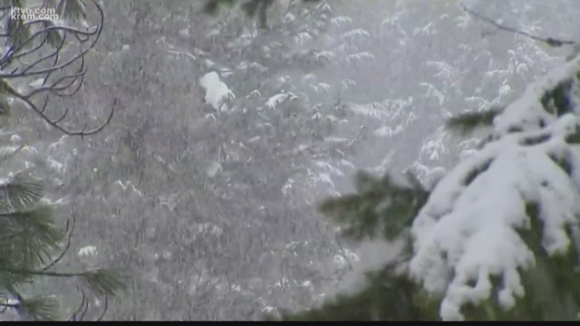
SPOKANE, Wash. — SNOW! It only takes one word in fall to get everyone's attention.
I promise we're not "hyping this up." There's a legitimate chance for snow not just in the mountains, but for some Inland Northwest cities this weekend.
Should Spokane get snow Sunday morning, it would be only the second time snow ever fell in the month of September! The earliest snowfall on record is on September 23rd, in 1926.
The National Weather Service notes that other September "snow pellets" reports in September are likely that of hail or graupel from late season thunderstorms, rather than a true snowfall.
Spokane's average date for the first trace of snow is Oct. 27 and the average first measurable snow comes in mid-November.
Does this mean we're going to be in for a bad winter? Not necessarily. Early snowfall doesn't correlate to how much total snow we'll see. In fact, that 1926-27 winter ended up being pretty normal. The September snow was just a freakish anomaly.
However, early cold weather can lead to an earlier fall foliage peak. A few trees have just started to change colors around Spokane. The best colors are usually mid-October for the area. But colder weather earlier in Autumn can push that back by a week.
The best and brightest fall colors are a result of cold nights and sunny days in Fall.

