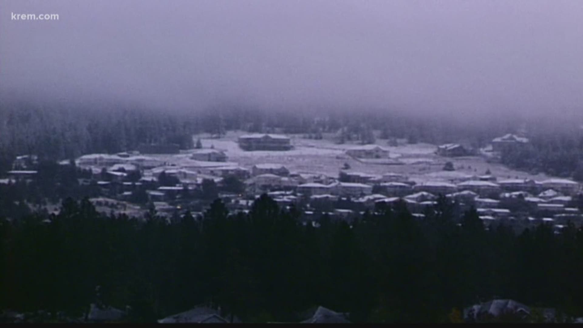
SPOKANE, Wash. — Monday marked the official start of fall but snow is already trying to sneak in early.
A frost is expected to arrive in Spokane on Saturday and a chance of rain in the forecast could bring snow by Sunday morning.
Snow levels drop to about 2,500 feet by Sunday morning – close to the elevation of Spokane and Coeur d'Alene. Other areas of the Idaho Panhandle, including Sandpoint and Bonners Ferry, are also looking at a chance of snow throughout the weekend.
Many people living in Spokane said seeing white on the ground before the leaves change colors is quite unexpected.
“I said, ‘What?’” said Tess O’Neill.
O’Neill has lived in Spokane for more than 80 years. She said seeing snow this time of year would be strange.
“I’ve seen snow maybe in late October, something like that. But I don’t remember seeing it much sooner than that,” she said.
A snowy day in September is rare, with the only recorded time of snow this early being on Sept. 23, 1926.
Spokane got 1.4 inches of snow that day, according to the National Weather Service.
That is Spokane’s earliest snow day on record following the summer season.
On Oct. 14, 2001, 0.7 of an inch of snow dusted the ground.
“I don’t think a lot of people are ready for it yet. We’re still in sandals and shorts,” said Cami Bartleson, who was visiting Spokane from Texas.
“I wouldn’t really be looking for snow right now, but if it comes, we’ll deal with it,” O’Neill said.
Hitting 32 degrees for the first time can happen in September but often does not. The earliest frost in Spokane happened on Sept. 10, 1895. Most years, Spokane sees its first frost in October – with Oct. 7 being the average date.
Spokane typically doesn’t see snow for the first time until mid-November. Mt. Spokane, sitting an elevation of 5,887 feet, averages about two inches of snow every September.

