
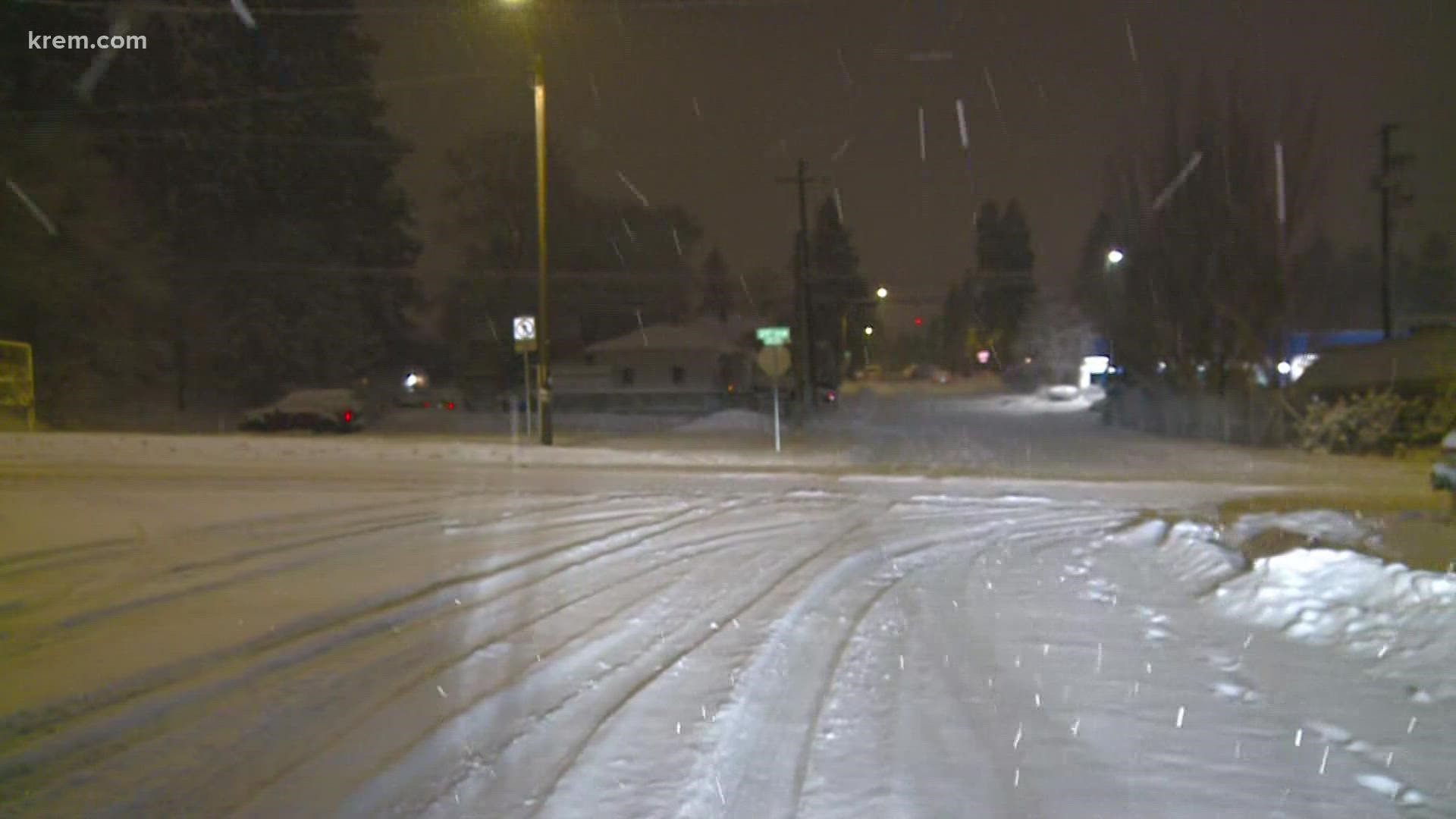
SPOKANE, Wash. — Spokane drivers faced some slick roads on Wednesday morning ahead of even more snow on the way. Most areas got 1 to 3 inches of snow overnight, but it fell on many untreated roads that were still slushy from snow earlier this week.
Several school districts closed or delayed the start of school Wednesday morning because of the snowy and icy roads.
School Closings
- Genesee Schools
- Highland School District
- Kamiah School District
- Kellogg School District
- Lapwai School District
- Nezperce School District
- Troy School District
- Clearwater Valley: Only schools in Kooskia are closed today
- West Bonner School District: classes will be canceled for Friday
School Delays
- Christian Heritage School - 2 hours late
- Davenport School District - 2 hours late
- Garfield-Palouse School District - 2 hours late
- LaCrosse Schools - 2 hours late
- Medical Lake School District - 2 hours late
- Orofino School District - 2 hours late
- Pullman School District - 2 hours late
- Reardan-Edwall School District - 2 hours late
- Sprague-Lamont School District - 2 hours late
- Summit Valley - 2 hours late
- Timberline Schools - 2 hours late
- Whitepine School District - 2 hours late
School Changes
- Colton School District - Emergency bus routes
Slick roads
The National Weather Service in Spokane noted there was a wide variation in snow intensities across Eastern Washington and North Idaho with the overnight snow. A narrow band of heavy snow meant higher accumulations in the Spokane area.
The slick roads have led to dozens of crashes. On Westbound I-90 near Sprague Lake, Washington State Patrol tweeted a photo of an armored vehicle that rolled over.
Power Outages
Some areas were also dealing with power outages on Wednesday morning.
Avista reported hundreds of customers affected by scattered outages, mostly north and south of Spokane. About 1,300 Clearwater Power customers were without electricity on Wednesday morning.
All of this is something of a test run ahead of significant snow expected Wednesday night and into most of Thursday.
Spokane, North Idaho, and most areas of eastern and northern Washington could see the largest dump of snowfall in a single event this season.
Significant snow events require three main ingredients:
- Cold, so it’s not rain
- Moisture to create the snow
- Energy or a storm to bring the moisture from the atmosphere to the ground
The incoming system has all three ingredients.
Winter storm watches go into effect on Wednesday evening at 6 p.m. for Central Washington and 10 p.m. for Spokane and all areas eastward. The watch will remain in effect until Thursday afternoon.
Snowfall totals will generally be between four and eight inches across the area, including in Spokane. Northern Washington and far North Idaho could push six to ten inches of snow, with the Silver Valley potentially gaining upwards of 12-14 inches at the top end of forecast snow totals.
Areas of concern are the Columbia Basin and the Lewis and Clark Valley. In these regions, the incoming moisture could be enough to bump temperatures up above freezing. That would be enough to cause a wintry mix or even a little rain to fall after the initial onset of snow.