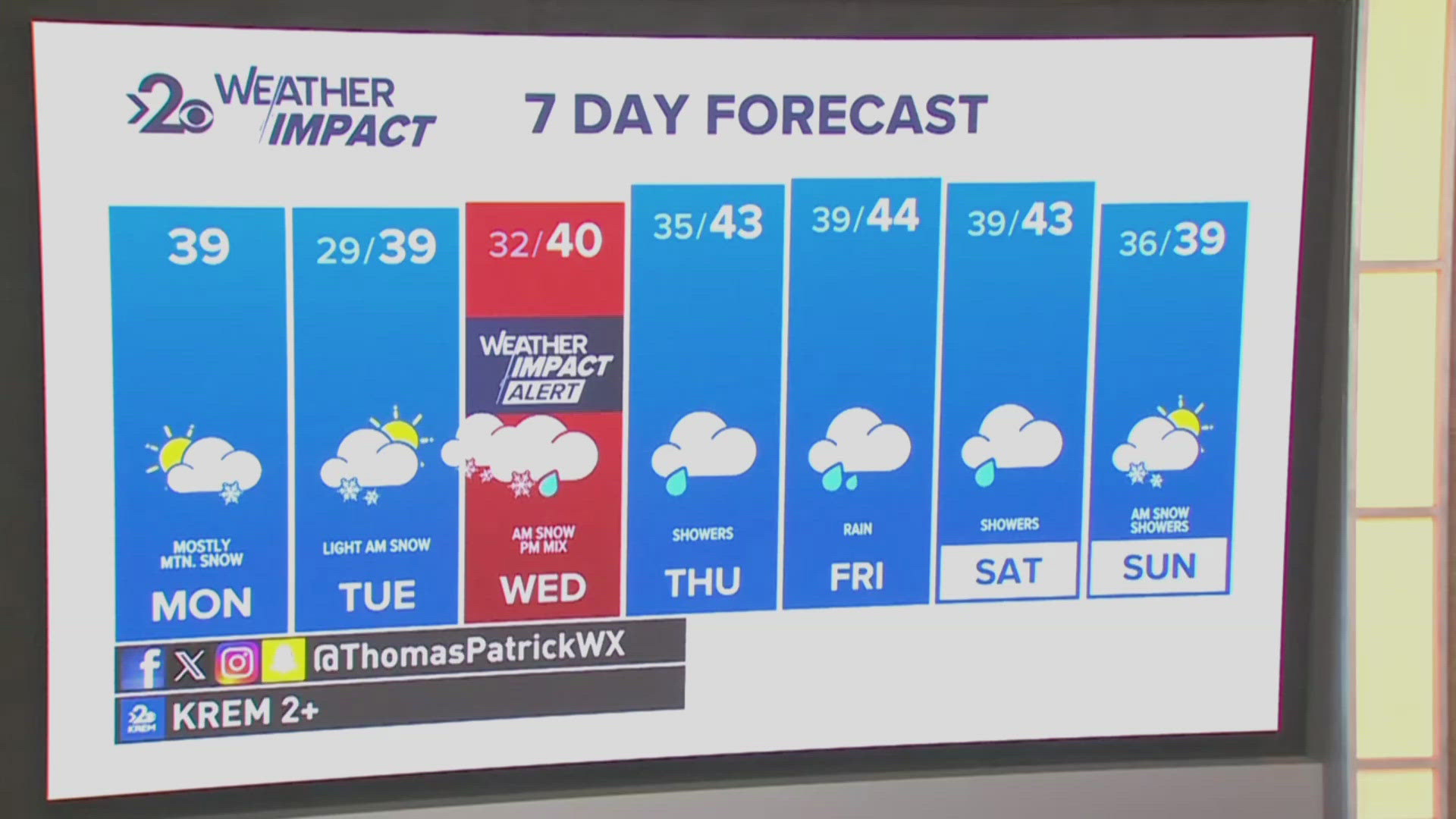
SPOKANE, Wash. — It's time to gear up for snow, and not like the 1.2 inches that fell Saturday night and disappeared by Sunday morning. The next storm storm will hit right during the Wednesday morning commute hours.
With that being said, Wednesday is a Weather Impact Alert Day for the region for that reason: multiple inches of snow during the Wednesday morning commute which will make for slippery, snowy, and icy road conditions for drivers.
A massive storm that strengthens off the Washington coast will result in heavy precipitation throughout the region. For Spokane, snow arrives around 3 a.m. and goes through about 11 a.m. After that, it will switch back to rain for the rest of the day. For northern Washington, the snow lasts most of the day and may not change to rain at all, meaning greater snowfall totals overall.


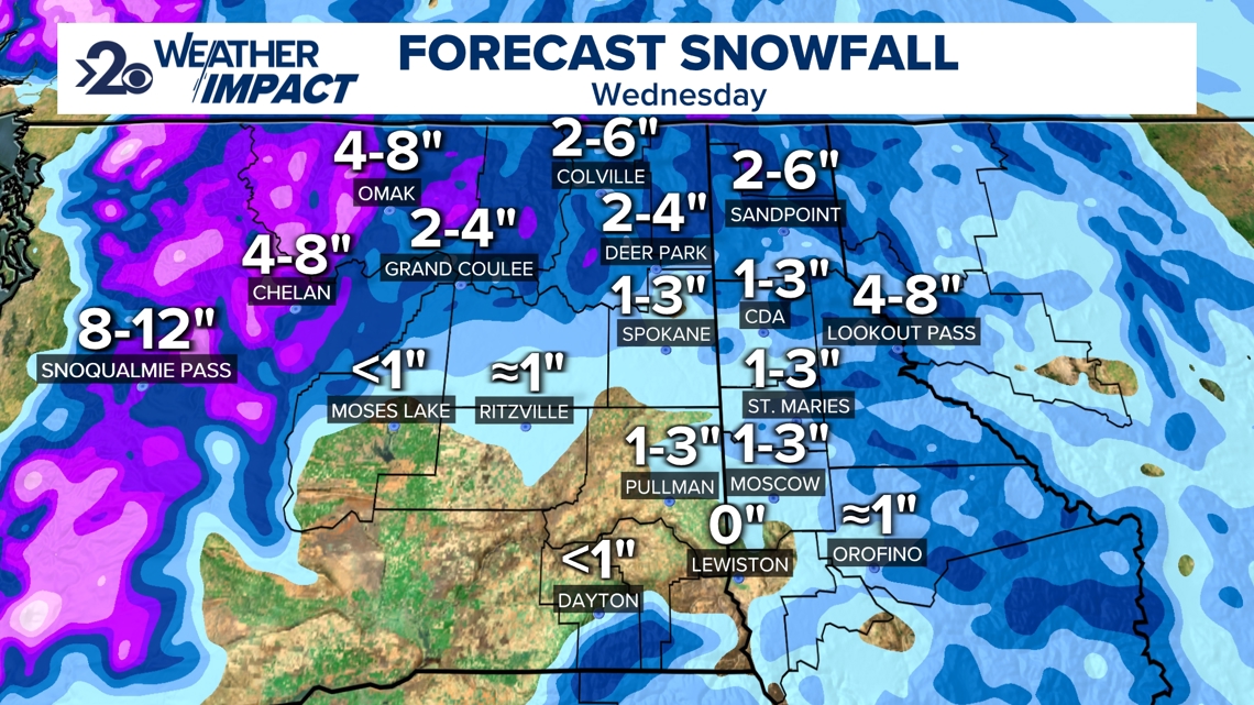
For Spokane and Coeur d'Alene, about 1-3 inches of snow. Same for the Palouse. The Idaho Panhandle and northeastern Washington will range between 2-6 inches. North-central Washington like Omak and Republic will get nearly 4-8 inches of snow. Winter Storm Watches have already been issued for Okanogan and Ferry Counties.
When: Wednesday morning, approximately 3am - 11am.
Impact: Between 1 and 6 inches of snow.
Need to Know: Prepare for winter weather driving conditions during the morning commute.
As always, forecasts like this can change, especially with a snow-changing-to-rain style of event can make a big difference in snow totals. So be sure to stay tuned for any changes in the forecast over the next 48 hours.
.

