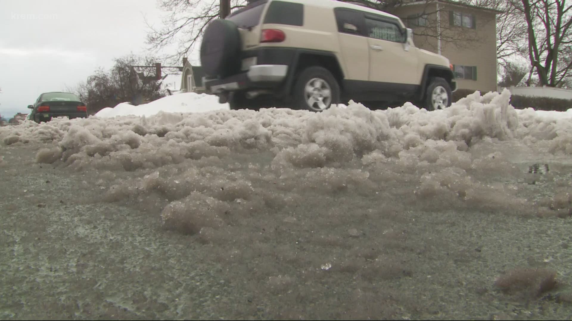
SPOKANE, Wash. — The next winter weather system set to hit the Inland Northwest will come with a variety of different precipitation types.
Of those, freezing rain will be the most serious. Albeit this is not a high-volume storm in terms of total precipitation.
Those in far northern Washington and Idaho, north of an Omak to Colville to Bonners Ferry line, will have the potential to see spotty freezing rain or freezing drizzle Tuesday night.
Tuesday's forecast update trends towards a mainly rain event for the region. However, it's wise to keep the chance for a wintry mix or light freezing rain for northern Washington and far North Idaho. Any freezing rain would cause slippery roads, and while that's not expected to be widespread, it'll pay to be cautious driving Wednesday morning just in case.
The National Weather Service in Spokane does not anticipate any ice accumulations except for some of the eastern Cascade slopes in northern Washington, near Winthrop.
Some light snow that would fall on top of light freezing rain may create a surprisingly slippery situation. While both ice and snow accumulations are minor, the combination may cause roads to be icy enough to catch drivers off guard during the Wednesday morning commute when temperatures are at their lowest.
A winter weather advisory is in place for the eastern slopes of the Northern Cascades in anticipation of the freezing rain moving in tonight. Ice accumulations could total up to one tenth of an inch by the time it comes to an end. That is enough to make for very slick roads.
As for the Spokane area, temperatures are going to be a bit too warm to get any snow. It appears precipitation will start as rain during Tuesday night, possibly switching to a wintry mix on top of hills around town early Wednesday morning. But don't expect any accumulation. With temperatures as warm as they will be, most of the measurable snow stays above 3,000 feet.
While this all sounds like a wintry mess, it's worth noting that the total precipitation we're talking about is only about one-tenth of an inch. The biggest impacts in Spokane will be wet roads early Wednesday morning.
But remember, if streets are glazed with ice, even a small amount of snow on top can create those deceptively slippery roads while driving, so it'll pay to continue to exercise caution during the Wednesday morning commute across the Inland Northwest.

