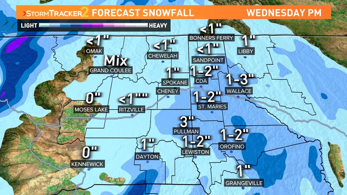
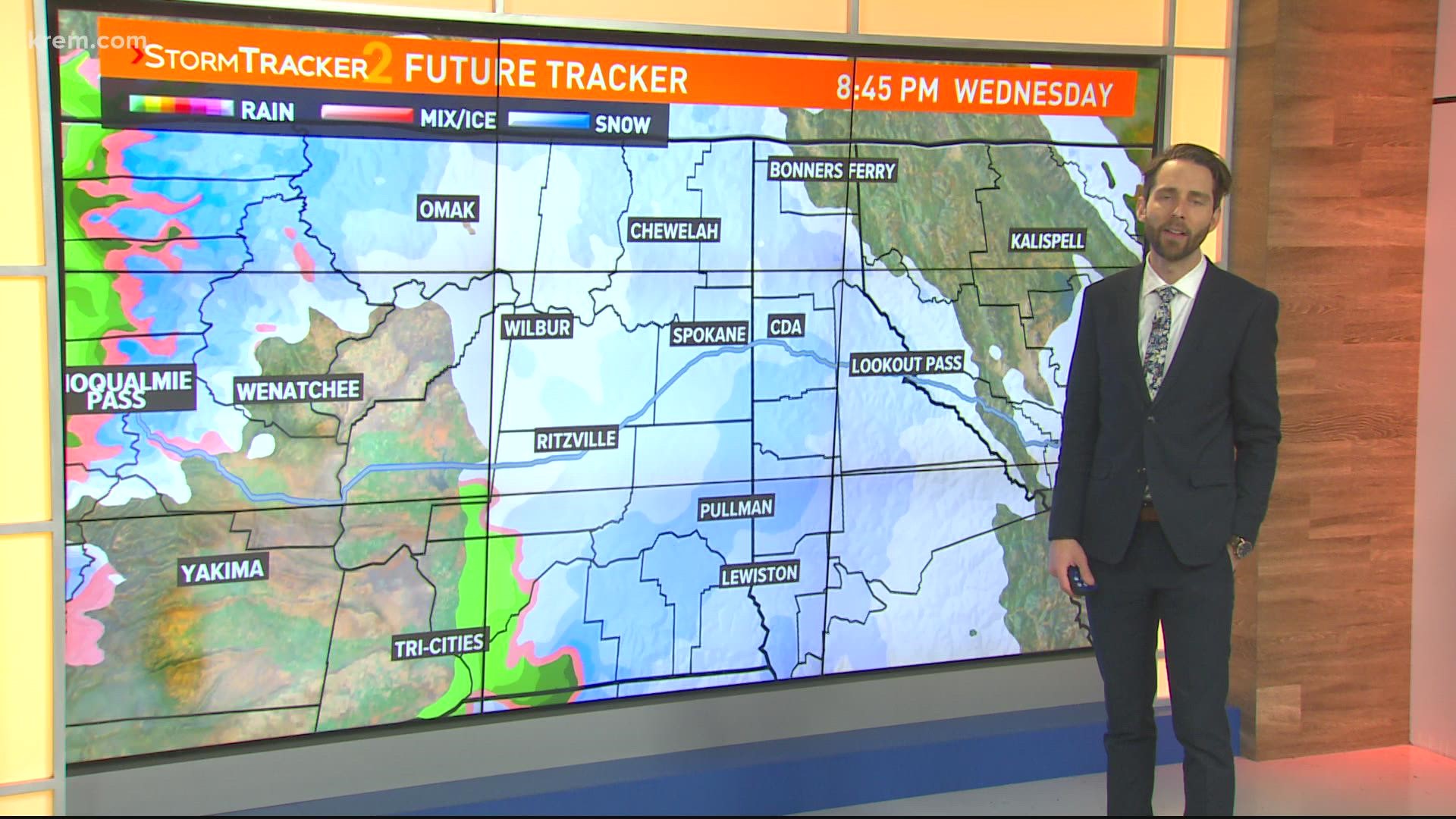
SPOKANE, Wash. — Snow is on the way for much of the Inland Northwest. An incoming push of moisture will bring a round of accumulating snow to much of the region starting Wednesday afternoon. Most locations will pick up about an inch of snow, parts of the Palouse and the mountains of North Idaho will get even more.
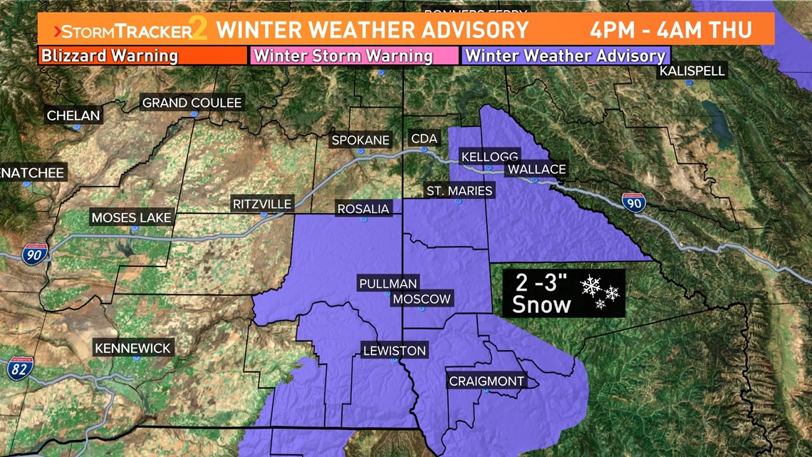
Winter weather advisories have been issued ahead of the incoming snow for North Central Idaho and Southeast Washington. The advisory is in effect from 4 pm Wednesday to 4 am Thursday for 2-3 inches of snow in the Palouse and Northern Rockies. Further south, the Blue Mountains of Oregon are expected to pick up close to a half-foot of snow overnight.


The timing and location of the storm put a bulk of the snow along Highway 195, and Highway 95 south of Interstate 90, and along Interstate 90 over both Fourth of July and Lookout Passes.


Timing and temperatures will exacerbate the impacts of the incoming shortwave. A cold airmass in place will not only keep the incoming moisture frozen but also keep it on the ground through Thursday. That means the snow will have impacts on the morning commute and possibly the evening commute in Spokane, Coeur d’Alene, North Idaho, and much of the Palouse.
Another small batch of snow is likely Friday afternoon and evening. 1-3" of snow will be the most likely scenerio for the northern areas of the Inland Northwest with the mountains, as usual, getting more snow than the lowlands.

