SPOKANE, Wash. — With some of the coldest temperatures of winter in place, a winter storm is bringing widespread snow to parts of Oregon, Washington, and Idaho. The storm will spread snow from the Coastal Range to the Rocky Mountains on through Saturday.
Winter Storm Watches and Warnings and Winter Weather Advisories scatter the three states in anticipation of the impacts of this storm. Temperatures will be cold enough that places like Portland and Seattle that don’t typically see snow might get a few inches from this winter storm.
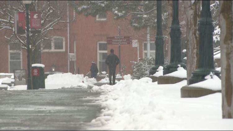
The bulk of the snow will fall in the Cascades and southwest Washington. Pullman might pick up 2 inches of snow from Thursday into Friday, while Lewiston and Craigmont could get as much as 4 to 6 inches of snow out of the first round of snow.
Spokane and Coeur d’Alene look to miss out on any measurable snowfall through the weekend. A few flurries flying Saturday will be about the extent of the snowfall for the two cities. Areas north of there might not even notice the storm roaring to the south.
The storm arrives in two rounds. The first was Thursday into Friday, the next will be Saturday where we will see a little more widespread snowfall and accumulation. Moscow and Pullman might pick up a couple inches. But once again, it looks to stay south of Spokane and Coeur d'Alene.
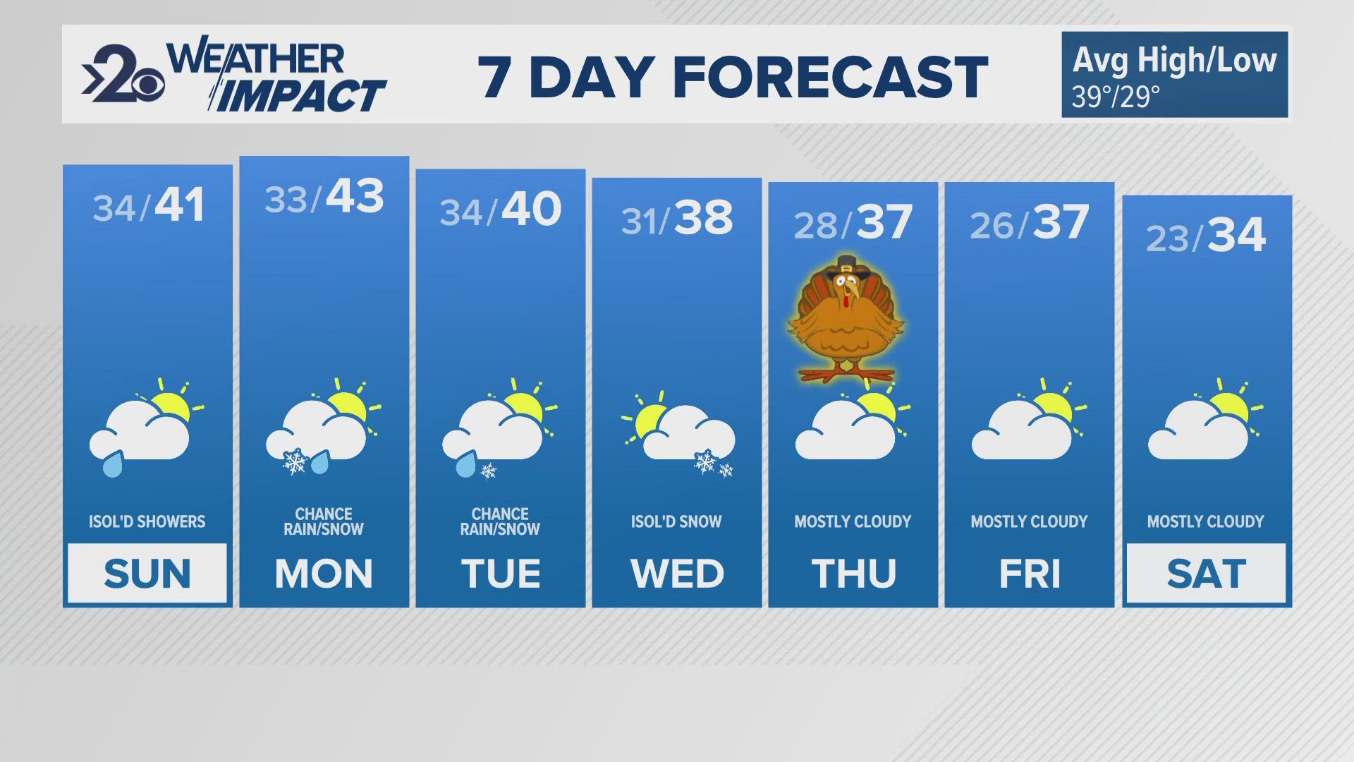
It's the cold, dry air to the north keeping a bulk of the moisture to the south. Cold temperatures stick around into next week as our next storm moves in. Monday looks to offer more widespread snow for the Inland Northwest, including Spokane and Coeur d'Alene.


