WASHINGTON — Smoke from California wildfires are expected to reach eastern Washington, eastern Oregon and parts of Idaho, according to the National Weather Service.
According to California wildfire maps, the largest fire near Redding is the Lava Fire, which has burned more than 17,000 acres and is only 19% contained.
The National Weather Service posted a gif on Facebook of the HRRR smoke model showing smoke from wildfires north of Redding, CA drifting into eastern Oregon and parts of Idaho.
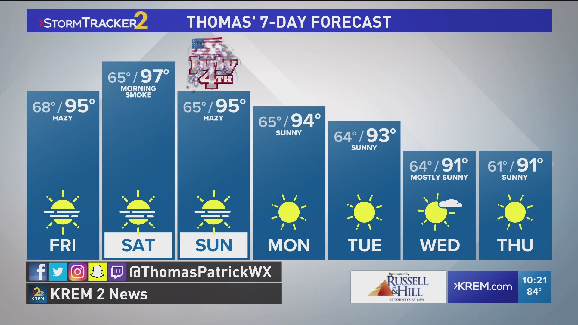
KREM's meteorologist Thomas Patrick said there won't likely be enough smoke to cause unhealthy air quality, but we may see a hazy sunset. By Friday, smoke from fires in British Columbia will move south into eastern Washington and North Idaho. On Saturday and Sunday, the smoke is expected to become more elevated with haze possible.
The smoke is not anticipated to cause any changes to the air quality in the Treasure Valley, according to KTVB meteorologist Rick Lantz.
The HRRR model, or High-Resolution Rapid Refresh Smoke Model, was developed by the National Oceanic and Atmospheric Administration. It creates a three-dimensional simulation to chart the dispersion of smoke across the terrain while taking into account changes in wind speed, precipitation and temperature changes.
The smoke model is updated every six hours and its forecast lead time is limited to 36 hours, according to the NOAA.

