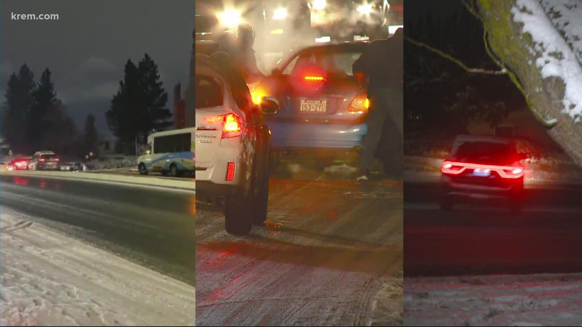
SPOKANE, Wash. — Many drivers in the Spokane area were likely puzzled after relatively light snowfall last week led to an icy mess on roads throughout the city for the Thursday evening and Friday morning commutes.
The Spokane Police Department (SPD) issued an emergency alert at 7:15 p.m. on Thursday, Dec. 16 requesting residents to limit their driving if at all possible due to extremely icy road conditions. SPD responded to more than 100 accidents on Thursday.
Snow totals around the Inland Northwest weren't unusual for a winter weather event. Spokane saw one to three inches of snow and Coeur d'Alene received about three to five inches, while some areas in North Idaho received about five to six inches of snow, according to the National Weather Service (NWS) in Spokane.
While any amount of snow complicates travel, treacherous driving conditions like those that Spokane residents experienced last week are fairly uncommon during a light snowfall. Additionally, the snow was dry and that doesn't usually cause icy roads, NWS said.
So what happened? Experts with NWS say the answer lies in fluctuating temperatures and timing of the snowfall.
Air temperatures were cold and stayed below freezing. Since the snow started mid-morning, some of the roads warmed above freezing before the snow melted and refroze later in the afternoon. For locations north or south of the Spokane metro area, the snow either started too early for pavement melting or started too late for it to melt and refreeze, NWS said in its recent blog post. If the snow in Spokane started earlier, the outcome likely would have been much different.
NWS compared two areas in Spokane County — Felts Field near downtown Spokane and Liberty Lake — by looking at pavement temperatures. In recent years, the Washington State and Idaho Departments of Transportation have installed pavement sensors at various locations that measure the pavement temperature and can sense whether there is moisture on the pavement in the form of liquid or ice, NWS said.
According to the weather observation at Felts Field, light snow began to fall just before 10 a.m. on Thursday, Dec. 16 and continued to fall until 4 p.m. Air temperatures were at or below freezing. The pavement temperature was sitting closer to 34 degrees, meaning it melted some or all of the snow. However, pavement temperatures began to fall just after noon and cooled to below freezing at about 2:30 p.m. on Thursday. The moisture on the roads quickly froze, leading to the icy roads, NWS said.
A sensor on I-90 in Liberty Lake showed that the pavement temperature was below freezing at sunrise, but only warmed to 31 degrees during the morning and remained below freezing during snowfall throughout the day. This means the road temperature remain below freezing for the entire snow event, so there was little to no melting and conditions probably were not as icy in this area.
WATCH MORE: Jeremy LaGoo's 2021-2022 winter forecast

