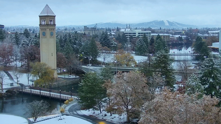
SPOKANE, Wash. — Those of us living in the Spokane area may find it hard to believe that Monday marks the first day of winter. You’ll be hard pressed to find any snow on the ground in town as temperatures soar to near 50 degrees this afternoon.
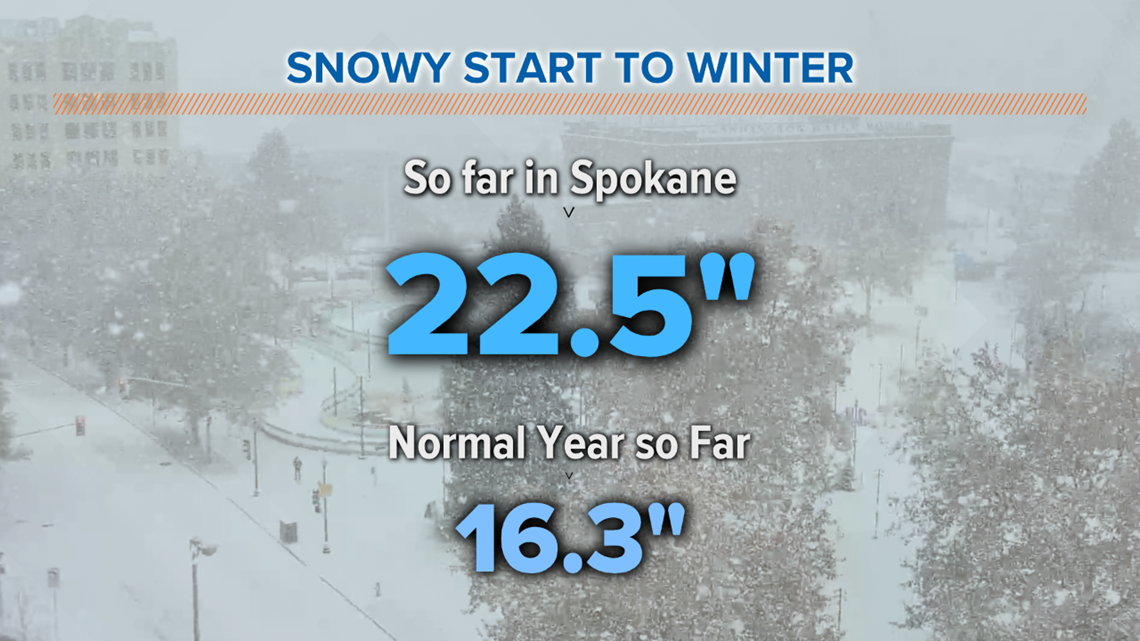
But this year has been no slouch when it comes to snow. We've already picked up close to two feet of snow this season, though that may be hard to believe when we have nothing to show for it.
To be exact, the 22.5 inches of snow that has fallen on Spokane in the past few months is 6.2 inches more than the normal 16.3 inches we typically see by the time the winter solstice is upon us.


The shortest, or darkest, day of the year is what often marks the coldest stretch of weather in the Inland Northwest. With the sun rising at 7:35 a.m. and setting just 8 hours 25 minutes later at 4 p.m., there isn’t much opportunity for the sun to heat us up and that should be our game-changer in the coming weeks.
The snow problem so far comes from our temperatures. Averaging just a few degrees above normal is the difference between melting snow and a winter wonderland. The average high temperature this time of year hovers right around freezing. With daytime highs averaging in the upper 30s this month, it’s no wonder all our snow is gone.
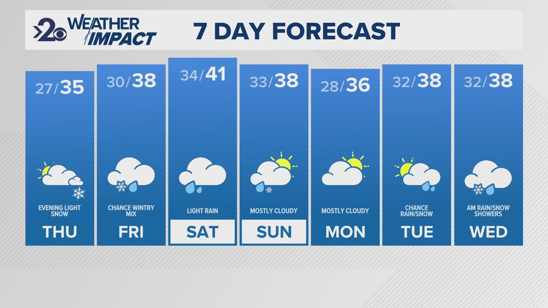
More seasonable weather arrives this week. Monday’s rain and wind are the end of all this warm weather. Following the passage of the cold front moving through, our daytime highs will slide back into the 30s with overnight lows dropping into the 20s. The only problem is the lack of moisture.
The incoming weather pattern is a dry one. A quick ridge of high pressure builds in through the middle of the week. That will bring the Inland Northwest some much-needed sunshine but no snow.
The next chance at getting a little snow to fall in Spokane arrives early Saturday. As an optimist, it’s not entirely rare for a storm to speed up this far out. Timing changing by as much as 12 hours when the storm is still five days away is more common than not.
However, when it comes to a storm breaking down a ridge of high pressure like the one that brings us sunshine in the coming days, it’s just the opposite. It’s tough for a storm to move in with enough gusto in a pattern like this to arrive so suddenly.
It's more likely the timing will be adjusted farther away from Christmas, meaning the potential snow likely arrives later Saturday if at all.
A white Christmas this year might take a full-on miracle. But, hey, it’s 2020 and stranger things have happened.


