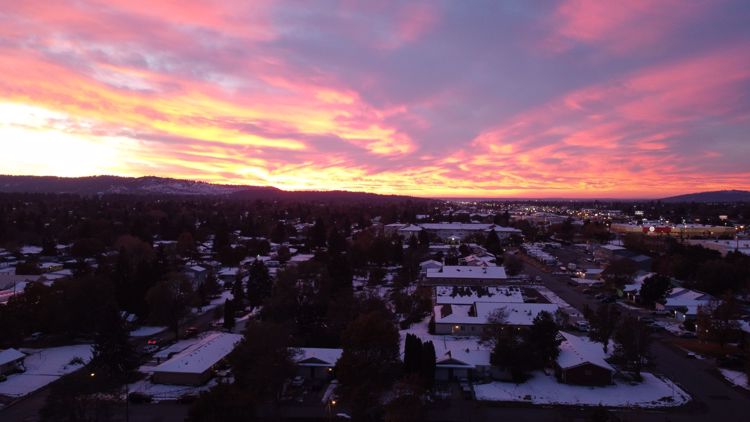
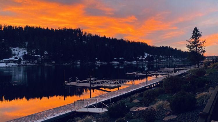
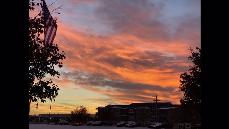
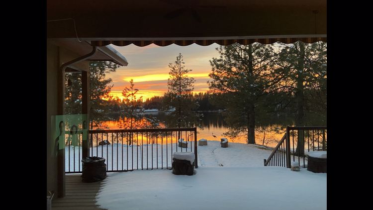
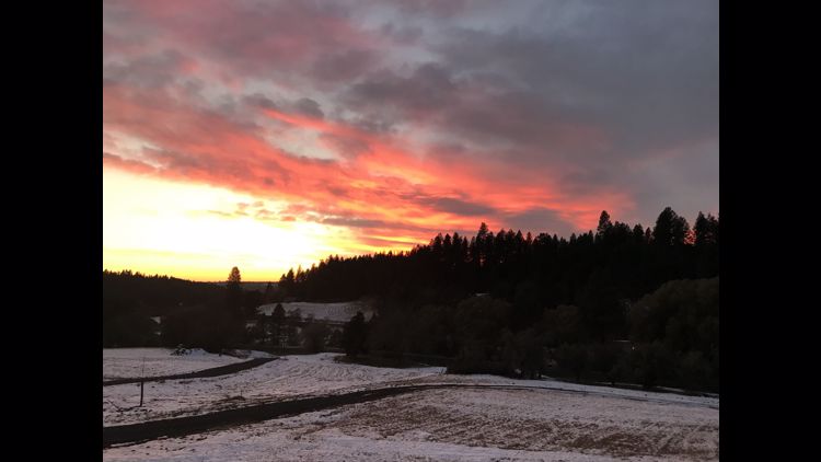
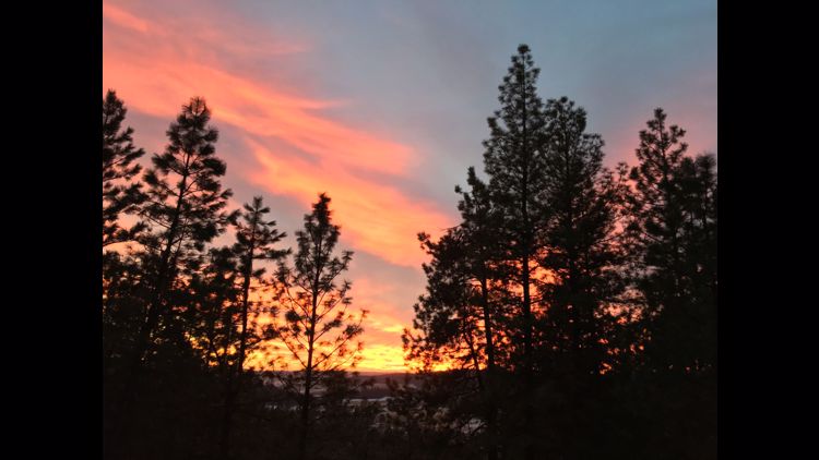
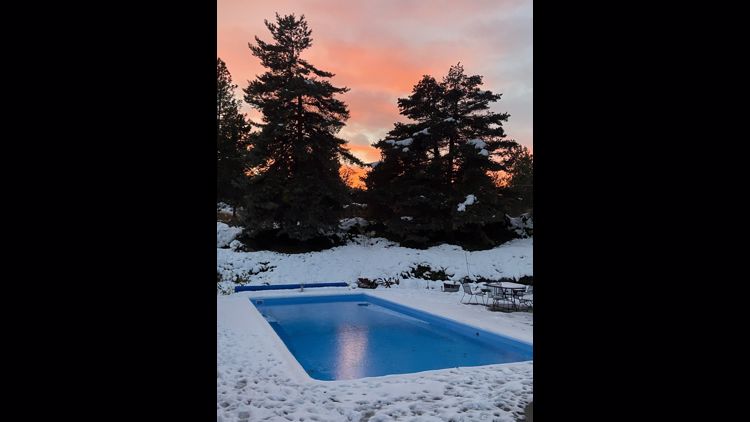
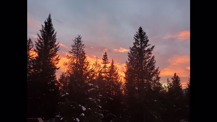
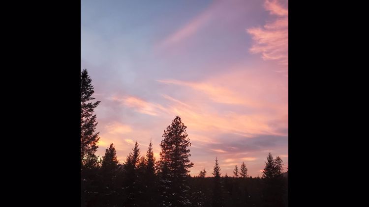
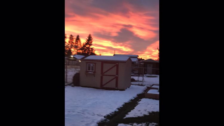
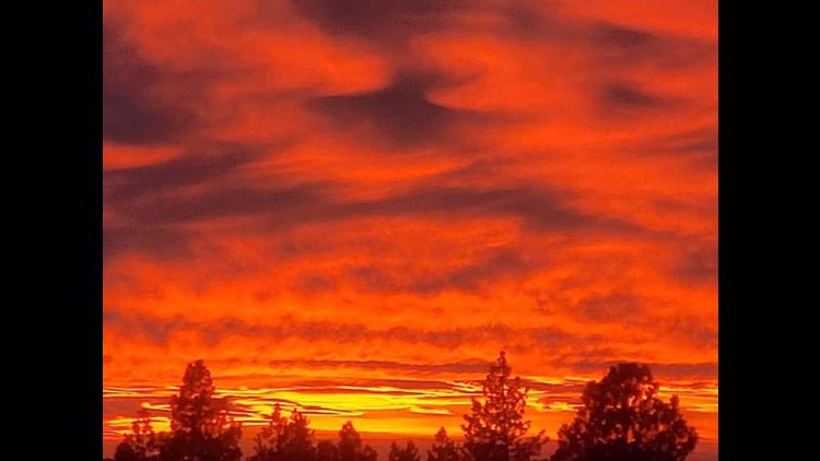
SPOKANE, Wash. — Friday's snowstorm in Spokane was one for the record books. It brought Spokane the snowiest single day in October's history and helped drop temperatures to record low levels to start this week.
We haven't dropped below freezing in Spokane since Tuesday morning.
This begs the question: is winter here for good? Probably not, and here's why.
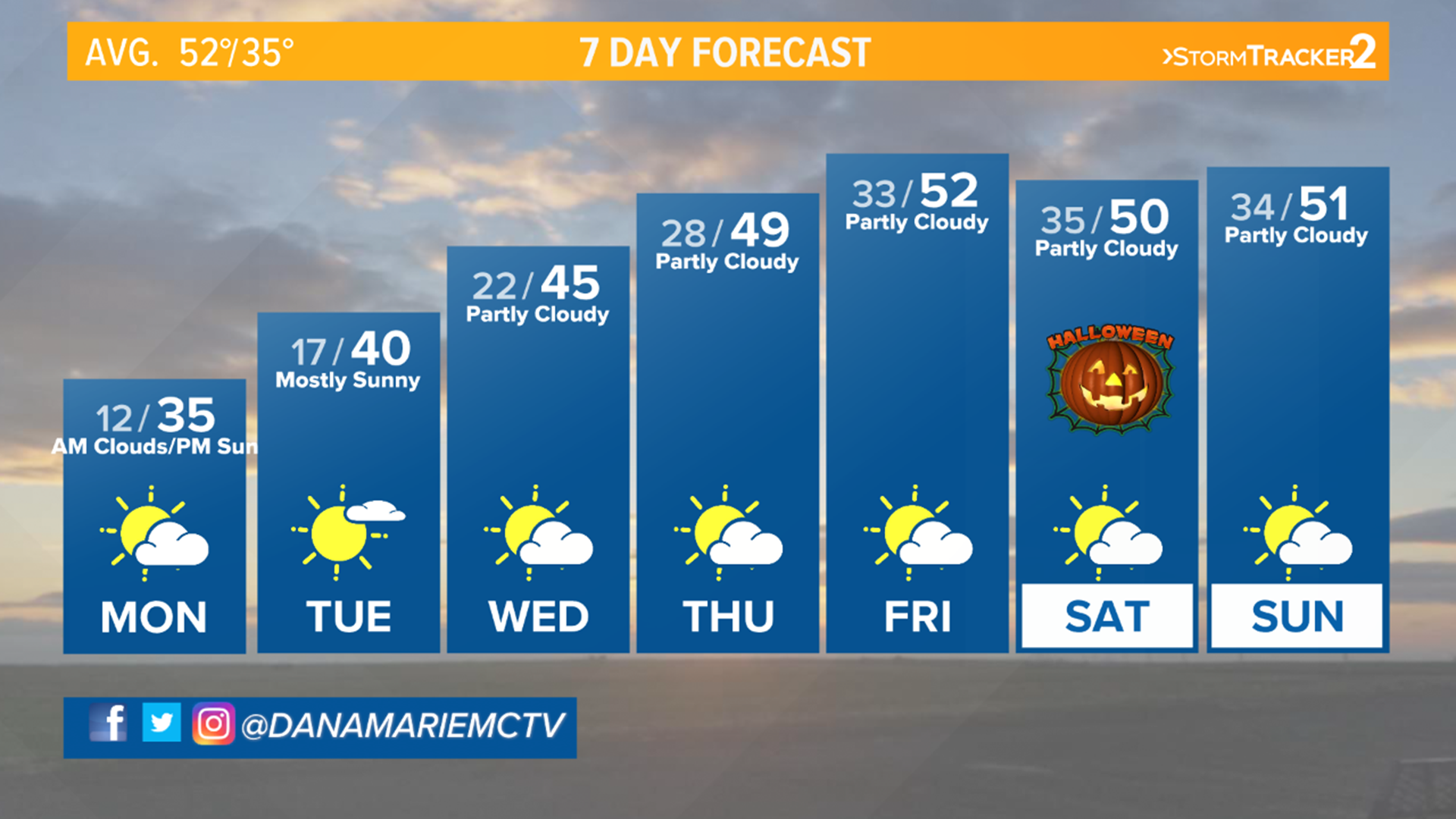
That snow and big drop in temperatures was brought about by a rather unique setup. In fact, getting that much snow out of one storm is rather rare. Looking through all of the records dating back to 1892, only about 30% of those years even saw a single day with 6.9 inches of snow accumulating. That’s three out of every 10 years.
Friday officially goes down as the snowiest October day on record for Spokane and many surrounding communities.
With the cold front gone by and the snow blanketing the ground, the stage was set. Arctic air in place, light wind and snow on the ground is the perfect recipe for dropping temperatures.
All of the daytime heat escapes the earth’s surface and rises up into the atmosphere each night. Without clouds, even more heat escapes. Throw some snow on the ground and it’s basically dumping ice in your cooler.
There is a shift in the weather pattern headed for the Inland Northwest. A ridge of high pressure will build over us. This pattern will push some of the heat from our west and south back into the region. It’ll also be responsible for bringing about a little sunshine. That combination will be just what it takes to kiss this snow goodbye.
Keep in mind that we are still in October. Our sun angle is much higher now than it is in the dead of winter. That means more direct light shines down during the day, making those daylight hours much more beneficial when it comes to heating things up and melting snow.
Our inversion remains in place. Long story short, that means we have slipped into moderate air quality. The cap on the atmosphere is keeping all of the particulates from fires or cars close to the ground. Thankfully we get a break from this pattern tomorrow.
The extended pattern keeps those warmer temperatures in the forecast and favors a few above normal days as we kick off November. As far as that snow goes, it’ll be gone by the end of the week.
A cold front moving through the Northwest will bring clouds and a round of showers to northern areas and higher elevations. We might catch a quick light shower in Spokane but that will come to an end before noon. After the front moves through, wind will pick up. Breezy at times, some valleys will see gap winds approaching 40 miles per hour at times.
The inversion returns for Halloween. That means sunny skies, but the inversion will play a big role in our temperatures. We will top out near 50 degrees during the day with light winds.

