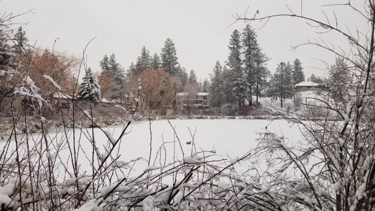
SPOKANE, Wash — After record-breaking snowfall ahead of New Year's Eve in the Inland Northwest, many people might be asking: when will all of this melt?
You would think after seeing 6 to 9 inches of snow that it would be a long time before you saw bare ground again. The puddles already forming in the Spokane area are evidence to the contrary.
During this time of year in the Spokane area, average highs are only around freezing and average lows are in the low 20s.
Temperatures in Spokane stayed above freezing throughout Wednesday night and throughout the day on Thursday, and we even saw some rainfall on top of all the snow.
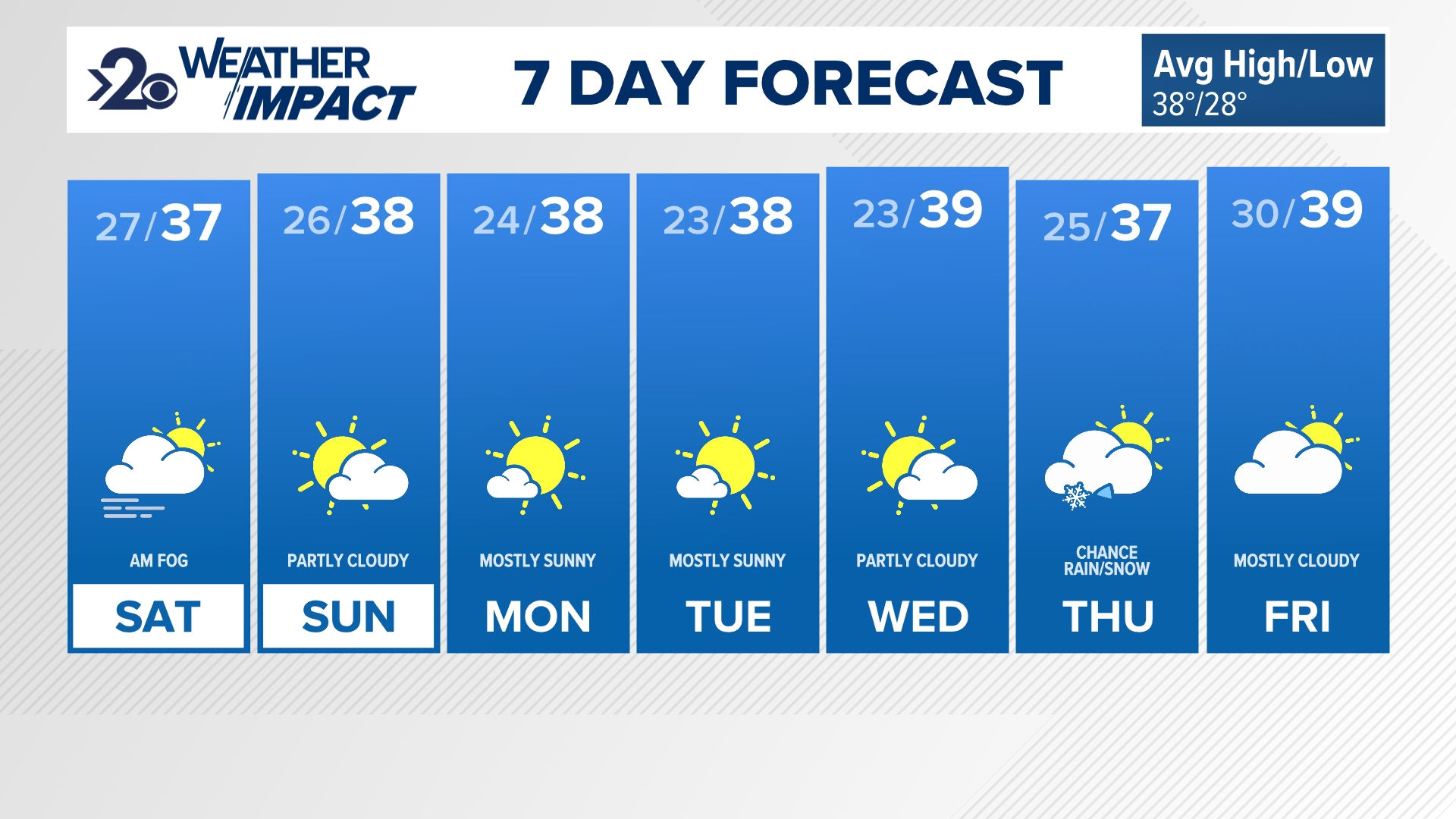
The holiday weekend will come with more above-average temperatures from the upper-30s to mid-40s, more rain and some strong winds, which will all serve to hasten the melting of much our snow.
The results of this happening so quickly will likely be lots of ponding on area roadways, rises in small creeks and streams, and other minor flooding in poor drainage areas.
The warm trend will continue into next week, with highs in the upper 30s and low 40s. Overnight lows will rarely dip below 32 degrees. The next seven days will see rain totals between one to two inches.


