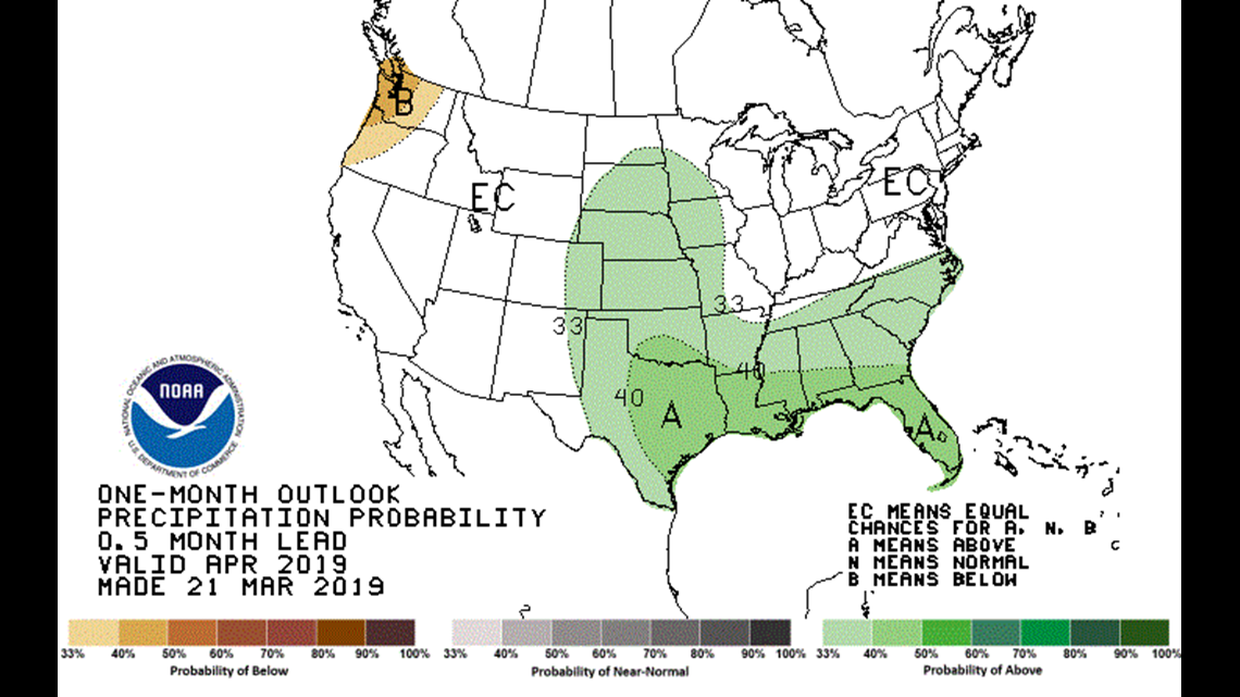
SPOKANE, Wash. — There’s been a noticeable change in the monthly outlook for April in Washington. On March 21st, the Climate Prediction Center’s monthly outlook had most of Washington, particularly western Washington, favoring a drier than average month.
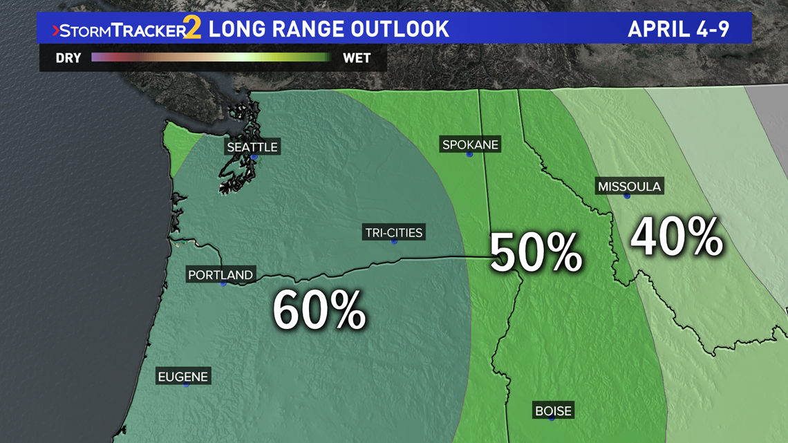
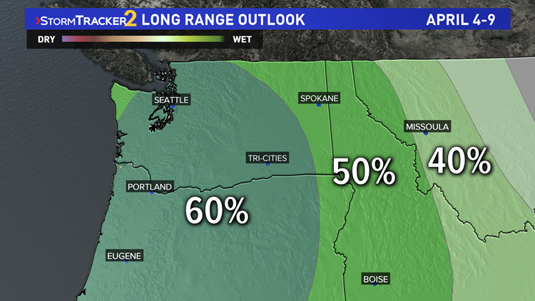
But now, both the 6-10 day outlook (April 4-9) and the 8-14 day outlook (April 6-12) have tilted the scales further in the other direction, which now a 60%+ chance for wetter than average time-frame for most of Washington.


Two question present themselves now – 1) What changed and, 2) Was the initial forecast wrong?
What changed? For the first half of April, The weather pattern in terms of the polar jet stream appears to shake down to a powerful ridge over Alaska and a broad trough into Canada. This will likely create more on shore disturbances for the Pacific Northwest and Northern California. This is responsible for the switch in forecast for the April 4-12th time frame.


Was the initial April forecast wrong? No, for two reasons. One, that wetter than average forecast is for April 4-12, not April 1-30. So the remainder of the month could very well be dry. Also, just because there is a 40% chance for drier than average month, there’s also a 30% chance for near average, and 30% chance for wetter than average. All that is displayed is the most likely scenario, even if it is only by a few percentage points.


