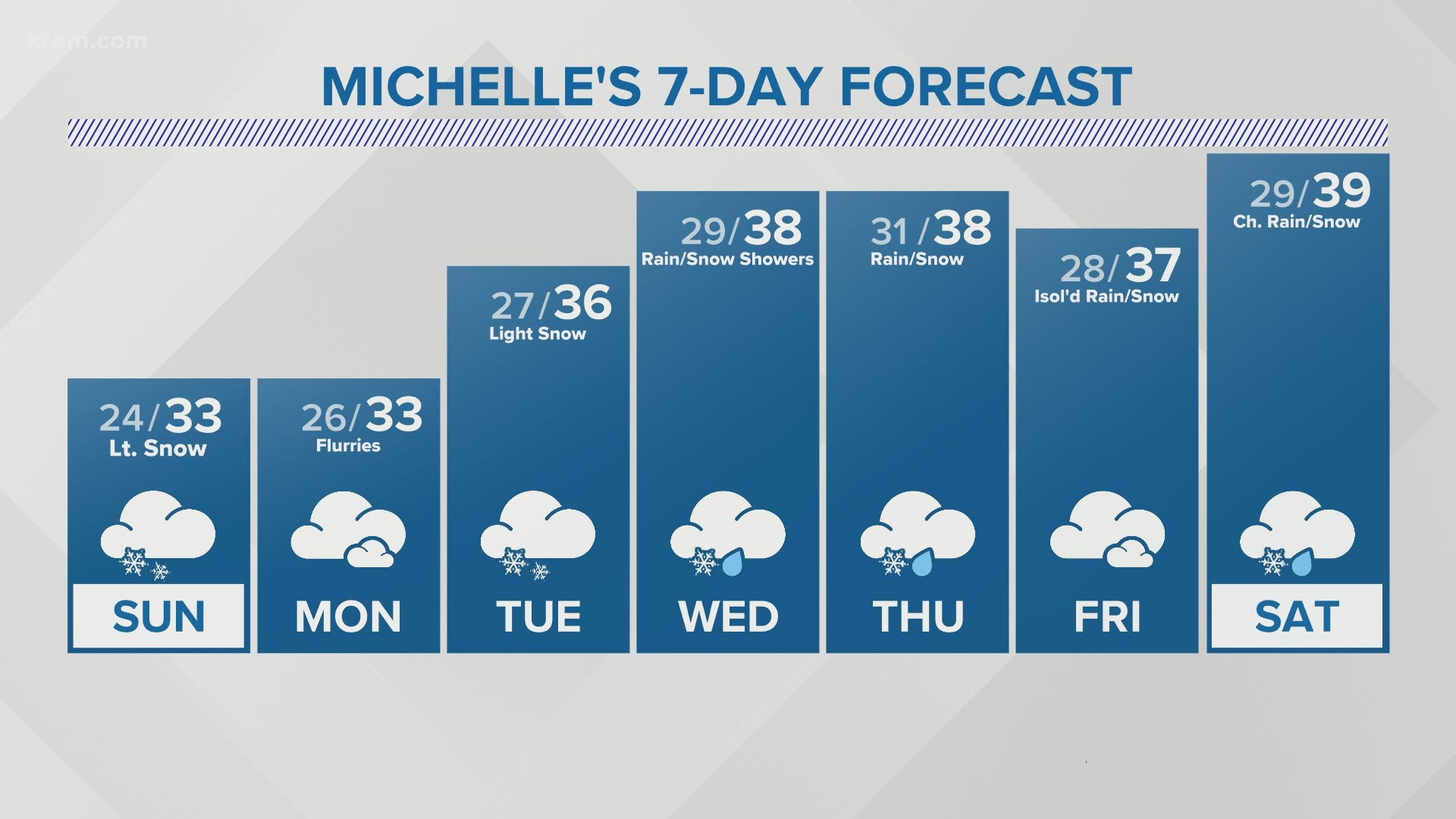
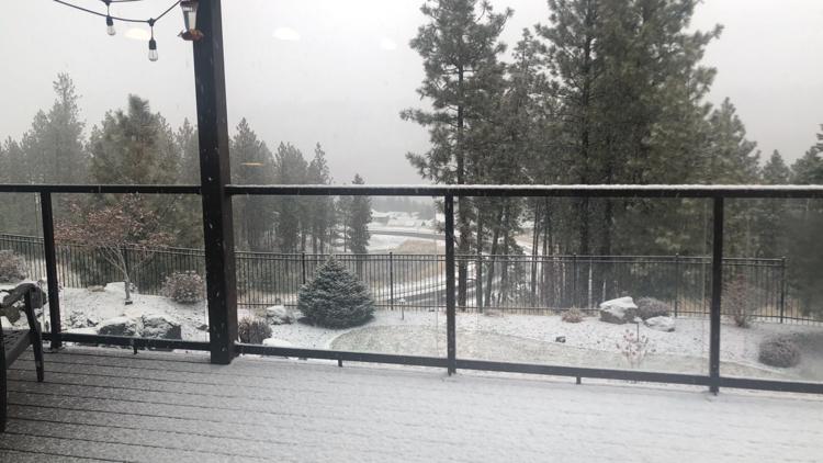
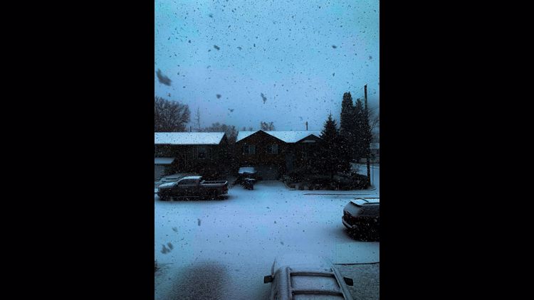
SPOKANE, Wash. — A light round of snow is hitting the Spokane area Sunday and into Monday, and another weather system is expected to drop more snow on the Spokane area later this week.
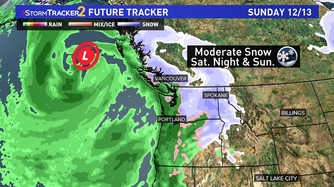
The weekend's storm system looks far more potent than what the Inland Northwest saw on Friday, as the system strengthened over the North Pacific off the coast of British Columbia. However, the latest computer models lessen the total amount of moisture in this system. Snow is still likely.
This will begin as light snow for the Idaho Panhandle during the day on Saturday and move into widespread snowfall for the region Saturday night into Sunday. It's difficult to tell exactly how long the duration the snow will last.
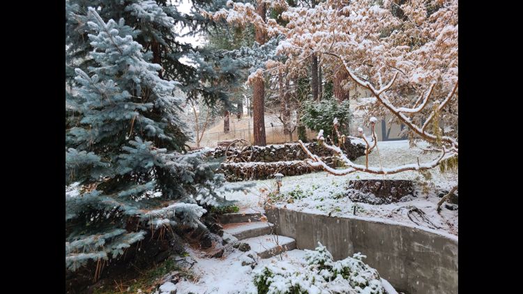
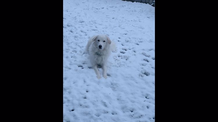
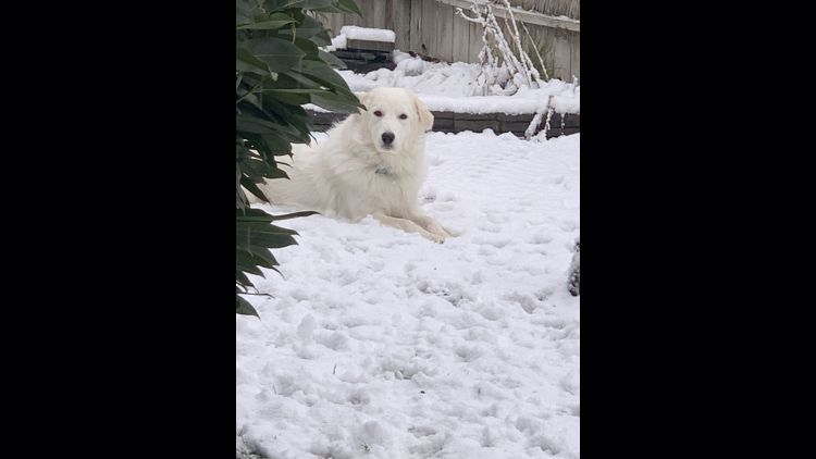
Your Photos: First December snow of 2020
Do you have snow photos? Share them with us using the "Near Me" feature on KREM 2's mobile app. The photos will be added to the slideshow below!
As for how much snow, we can best describe it as "moderate-light." The GFS model is now around two inches of snow for Spokane, which is down from about three to six inches as of Wednesday's model runs. It will likely result in another Winter Weather Advisory being issued.
A third round of precipitation could fall as snow again Tuesday and/or Wednesday of next week. With that being nearly a week away, details are vague and it's impossible to tell the exact timing or how much snow will be with that batch.

Back-to-back snow events like this might be the norm for a La Niña winter in Spokane. The overall seasonal forecast calls for a colder and snowier winter than average. Chief Meteorologist Tom Sherry forecast's Spokane will see 60 inches of snow in total this winter.
Spokane has already seen 17 inches of snow through the months of October and November.
As always when it comes to snowy weather, forecast details become more precise the closer we get to the event itself. Snow totals are updated multiple times a day, so minor or major changes in a snow forecast are to be expected.

