SPOKANE, Wash. — Typically, between May and September are the months we see severe weather, and each year comes with a hand-full of warnings issued by the national weather service.
The average number of severe thunderstorm warnings issued by NWS Spokane is about 19 per year. However, the past two years have been unusually quiet, with only eight severe thunderstorm warnings issued in 2018 and only five in 2017.


The last time Spokane was under a Severe Thunderstorm Warning was July 22, 2016.
A severe storm is defined by having either damaging winds, wind gusts upwards of 58 mph, or hail the size of quarters. The Inland Northwest can see hail the size of golf balls on occasion.
Tornadoes also count as severe weather. The last tornado to touchdown in the inland northwest was near Airway Heights on August 16, 2016.


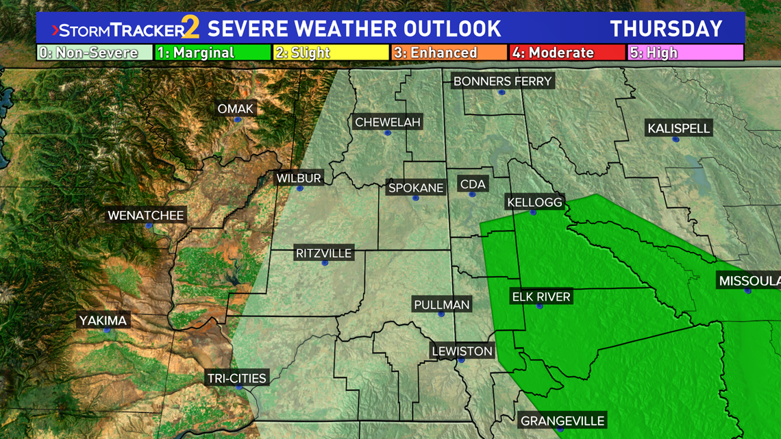
When forecasting severe weather events, the National Weather Service Storm Prediction Center releases a "severe weather outlook." The expected frequency and intensity of severe weather on any given day is ranked on a scale from 0 to 5, with 5 being the most extreme.
The problem though is that this is a nationwide product and I would be shocked to see anything above a category 3 "Enhanced" outlook be issued for the Inland Northwest.
While a "Marginal Risk" is considered a low-end threat for Oklahoma, in Washington that means there's a real chance for severe storms with hail and damaging winds.

