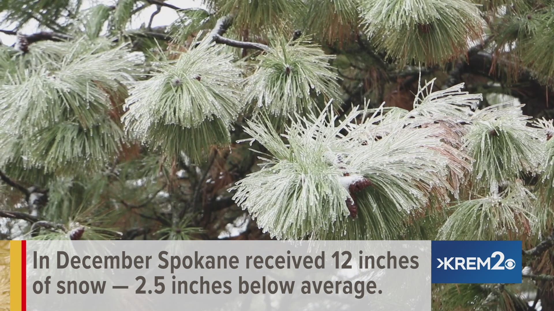
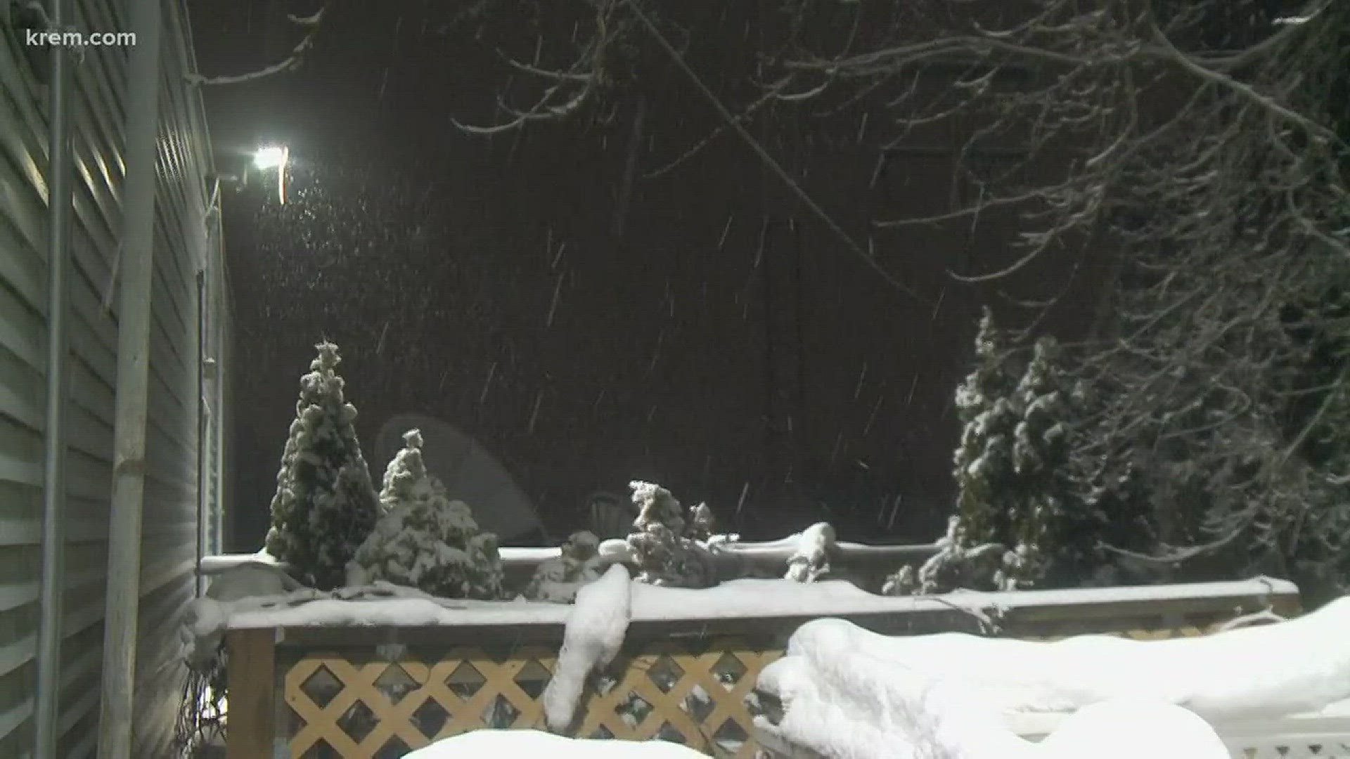
SPOKANE, Wash. — Spokane has already surpassed the average February snowfall this year by more than 15 inches.
A total of 18.7 inches has fallen so far this month, while Spokane normally sees about 3.2 inches of snow by Feb. 12, according to KREM weather anchor Evan Noorani.
The February 2019 onslaught of snow so far is not record-breaking but it has been the snowiest start to the month since 1975, according to the National Weather Service. It has also cracked the top ten for February records.
Spokane has also surpassed its seasonal average snowfall of 36.7 inches with a total of 38.6 inches of snow so far. This comes after snowfall was far below average from November through January.
Spokane only saw 5.2 inches of snow in January 2019, down from the average of at least 11.4 inches. During the "Snowpocalypse" of 2007-2008, the month of January saw 40 inches of snow.
The highest February snowfall Spokane has ever seen came in 1893 at nearly 40 inches, according to National Weather Service data. Spokane would have to see more than 20 more inches of snow this month to break that record.
Spokane had seen nearly 24 inches of snow by Feb. 12, 1893, according to NWS data.
In February 2017, Spokane saw 19.8 inches of snow compared to 12 inches in 2018.
Spokane broke a snowfall record during this week’s snowstorm. On Tuesday, 7.2 inches of snow fell compared to 5.5 inches on Feb. 11, 1897, according to the National Weather Service.
The city of Spokane restarted a full-city plow on Monday. City leaders said it should take about three days to complete one.
Spokane’s high temperatures have also been sitting 10 to 20 degrees below normal for most of February, according to the National Weather Service.
The normal high for Spokane on Feb. 12 is 39 degrees. While Spokane’s high sat in the mid-30s on Tuesday, highs have often sat in the 20s throughout the month so far. In 2015, Spokane saw a high of 58 degrees on Feb. 12, according to National Weather Service data.
Spokane snow activity is winding down on Wednesday morning. Skies will remain cloudy throughout the day before sunlight gradually emerges again. The high temperature is expected to sit in the mid-30s.
The next round of winter weather begins Thursday afternoon and evening. It will begin as rain and then transition to snow by early Friday morning. Right now estimates of snow totals by Friday evening show two to three inches in areas like Spokane, Coeur d'Alene, Moses Lake and Pullman. Between four and five inches are expected to fall in Bonners Ferry, Sandpoint and Wenatchee.


