SPOKANE, Wash. — As March 2020 comes to a close, it's leaving us with nearly double the amount of snowfall we would normally expect for the month of March.
We would only see about 3.5 inches of snow during a normal March, whereas this year delivered 6.4 inches of snow. It was also mixed in with periods of graupel, freezing rain, thunderstorms and rain.
Lewiston, Idaho, more than tripled their monthly snow average with 3.5 inches in March of 2020, compared to the average of 0.7 inches.
For snowfall totals since the season began (starting July 1), Spokane saw a total 47.3 inches, which is above the normal season total of 43.8 inches by the end of March. That puts Spokane about 3.5 inches above seasonal snow totals.
Since the year started, Spokane saw above-normal snowfall in January with 19.1 inches, February saw below-normal snowfall with 3.8 inches, and now well above-normal for March with 6.4 inches.
Active winter weather late in the season has been the primary cause for hefty totals through March and now likely through early April. This is all despite the winter season having come to an end and spring being well underway.
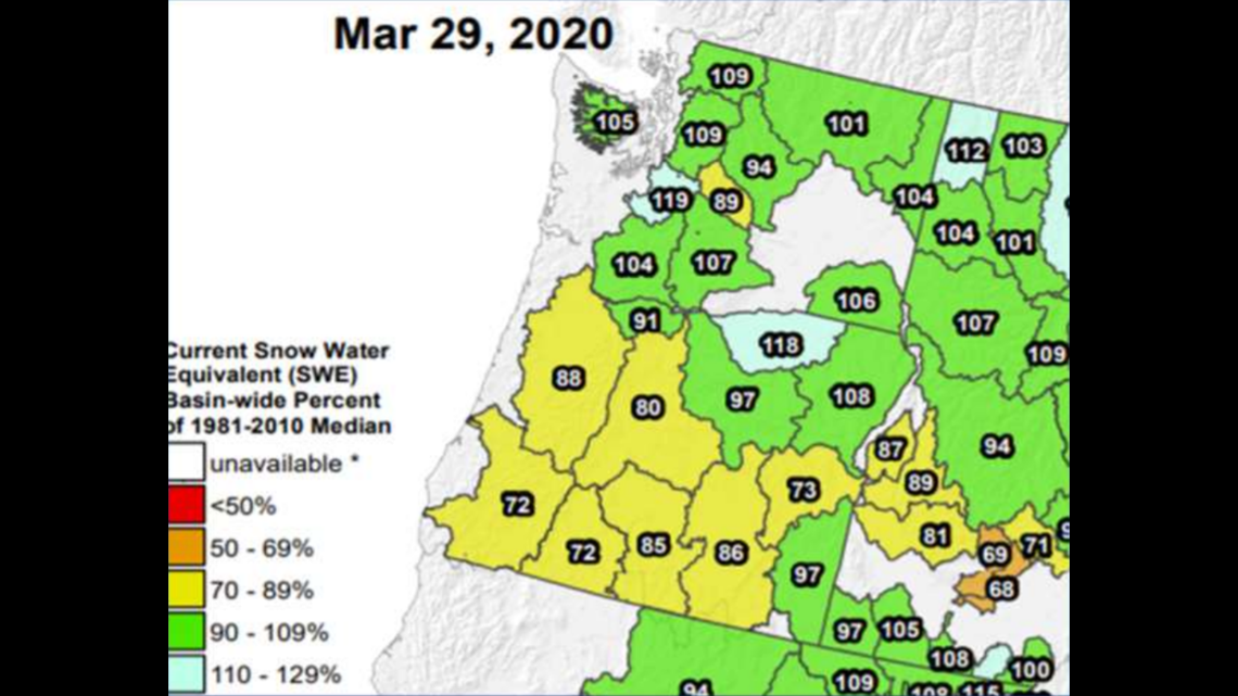
This does lead to some good news for snow pack levels. Snow water equivalents are between 104 and 112% of their median across Eastern Washington and North Idaho. This means slightly above-normal snow water equivalents which should allow for adequate supply for the spring season.


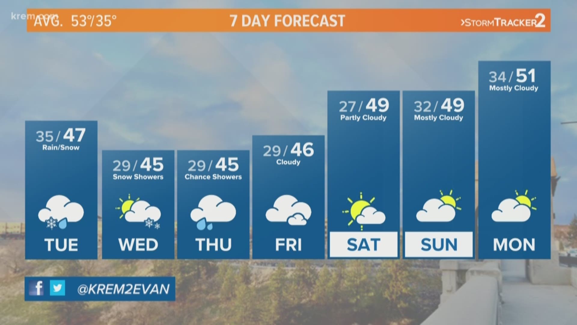
Active weather is expected to continue through the first several days of April. The average amount of snow expected for the month of April is one inch. We will have to wait to see how April matches up but a trend of unseasonably cold temperatures and active weather could push some snow into the start of the month.

