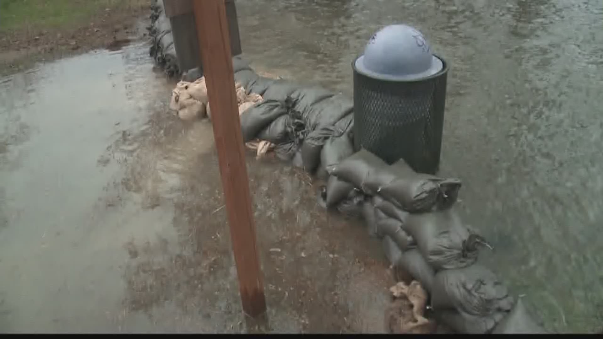
SPOKANE, Wash. --- Think it has been wetter than normal? You are right!
A new “water year” starts every October 1st for Eastern Washington, North Idaho and Montana.
This water year, Spokane broke a record. It has been the rainiest October-April period ever.
So far this rainy season, Spokane has received 21.09 inches.

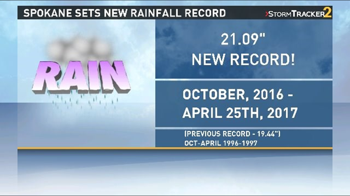
This breaks the record for October 1 through April 30 of 19.44 inches set during the 1996-1997 water year.
The 2016-2017 water year shatters the record by 1.65 inches, and the month of April is not even over yet.

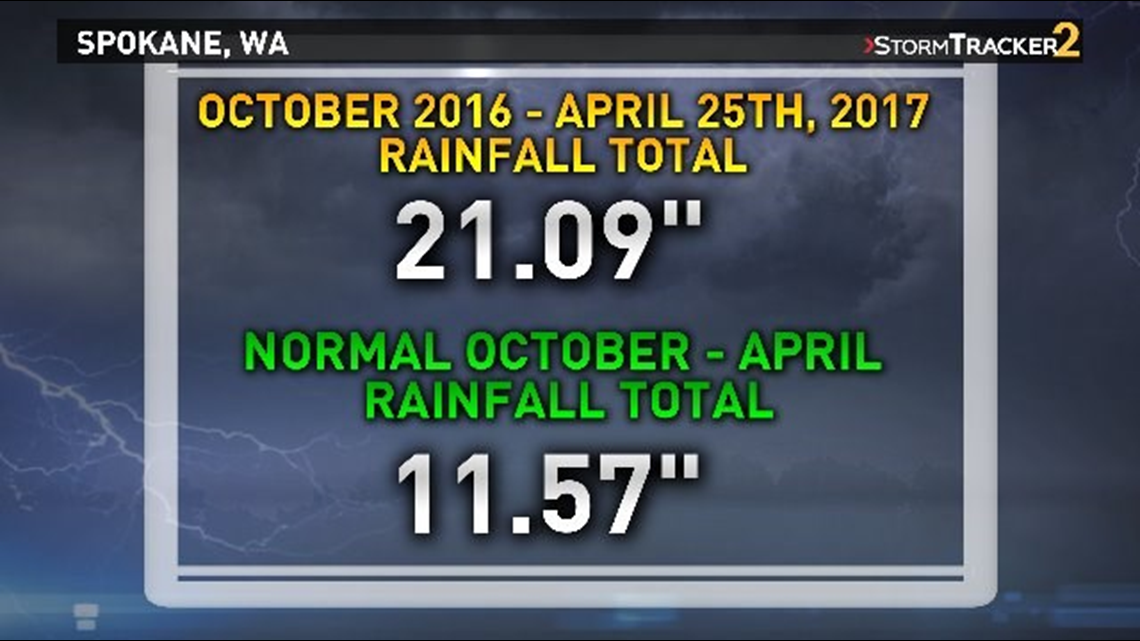
April has already had about half inch more than the entire month normally gets.


Soil in Spokane was already saturated after heavy rainfall in October. When we got even more rain in March, according to the National Weather Service, the soil could not absorb any more water.
That is why the Spokane River rose above flood level at 28.69 feet.
"Had it not been so saturated, the flooding wouldn't have been as bad in March," said Katherine Rowden, a hydrologist for NWS. "But because of the October rain, that primed the system for far worse flooding than we otherwise would've had."
That is the same reason there were so many landslides in North Idaho.
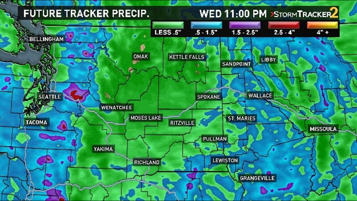
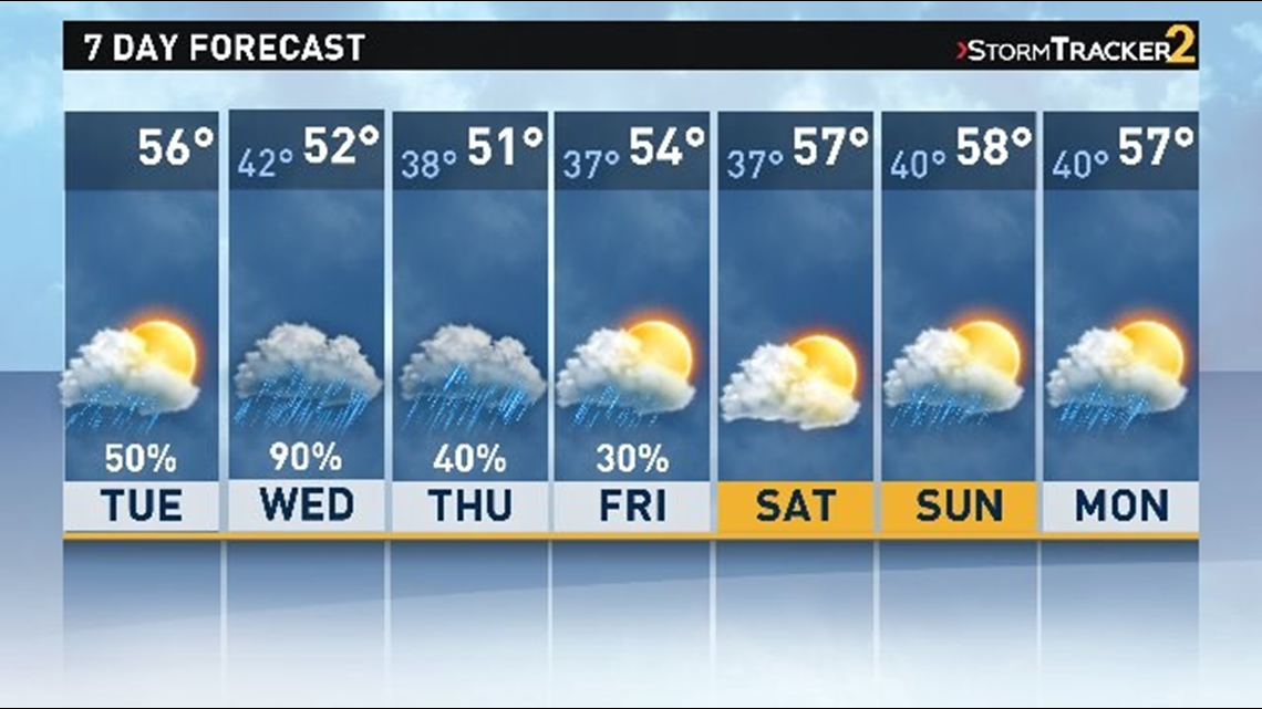
Heavy rain is expected Tuesday and Wednesday. The rainy forecast extends through the rest of the week.


There is hope for sunshine is May.
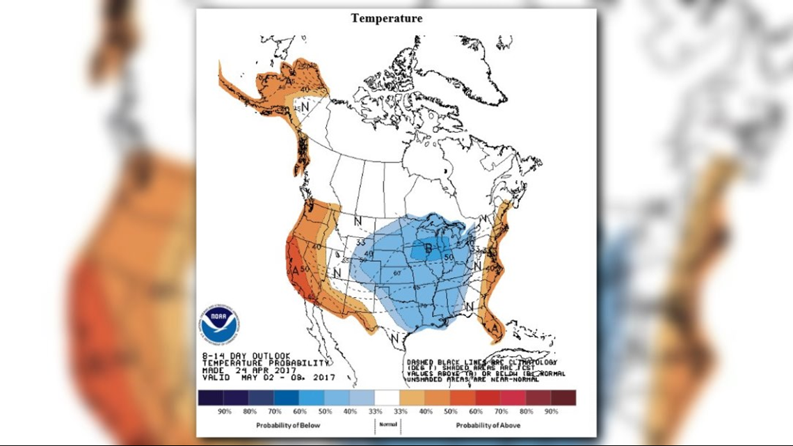
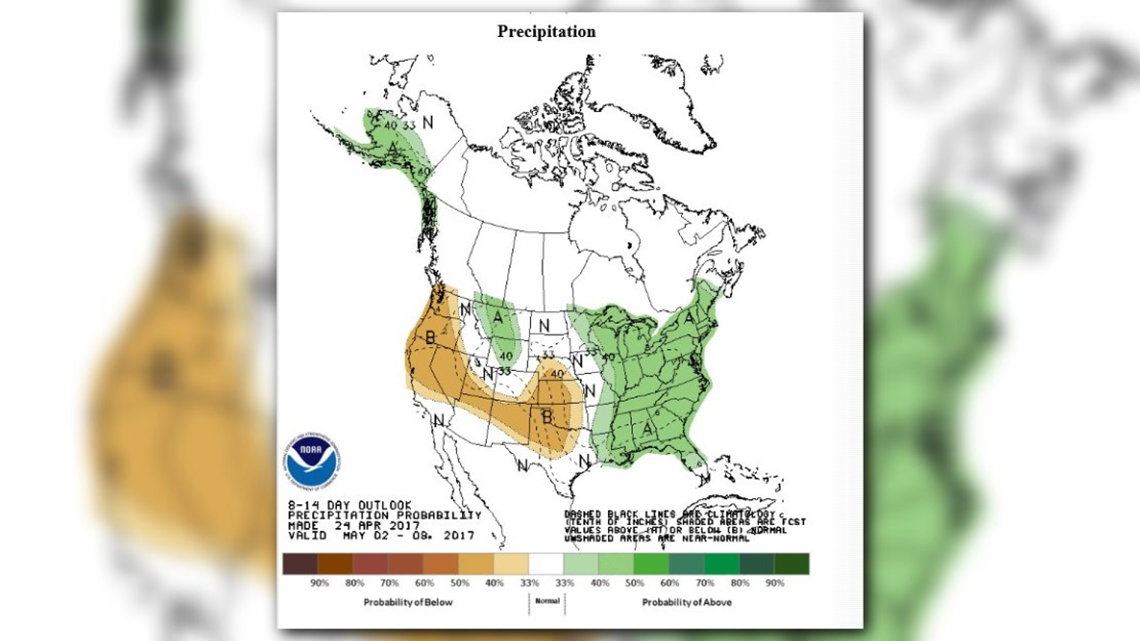
Right now, the extended outlook from NOAA’s Climate Prediction Center’s forecast for the month of May is looking up.
The first week of May will bring slightly-above normal temperatures and normal rainfall.


Washington State has been breaking rain records this month. Seattle also received 44.67 inches of rain.
This breaks Seattle’s water year record for October 1 through April 30 of 44.52 inches set during the 2015-2016 water year.

