
SPOKANE, Wash. — Some areas around the Inland Northwest received their first measurable snowfall of the season on Tuesday morning.
The bulk of the snow stayed far to the north and in high elevations. The accumulating snow stayed out of Spokane but you don’t have to go far to find snow sticking to grassy surfaces.
An incoming trough and frontal boundary brought the round of snow and rain to the Inland Northwest early Tuesday. The snow started Monday in the Cascades and will continue through Tuesday. Six to 8 inches of snow will accumulate over Snoqualmie Pass, meaning travelers should be prepared and exercise extreme caution.
The Cascades will take most of the moisture from the incoming storm. That means the Inland Northwest will see drastically lower amounts of precipitation and snow. Lookout Pass has the potential to receive about an inch of snow through the first half of the day and it’s a similar story for Schweitzer and the mountains of North Idaho.
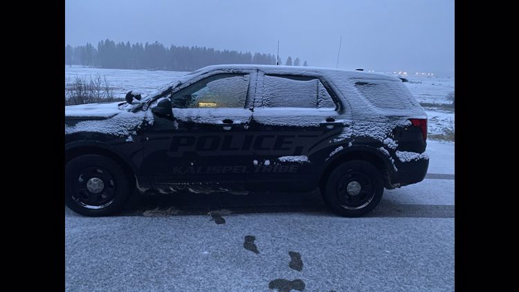
When it comes to low-elevation accumulation, the bulk of it stays north of Spokane, Highway 2 and Interstate 90. Spokane and Coeur d'Alene saw rain early in the day while Deer Park had a few snowflakes mixing in that melted as fast as they fell.
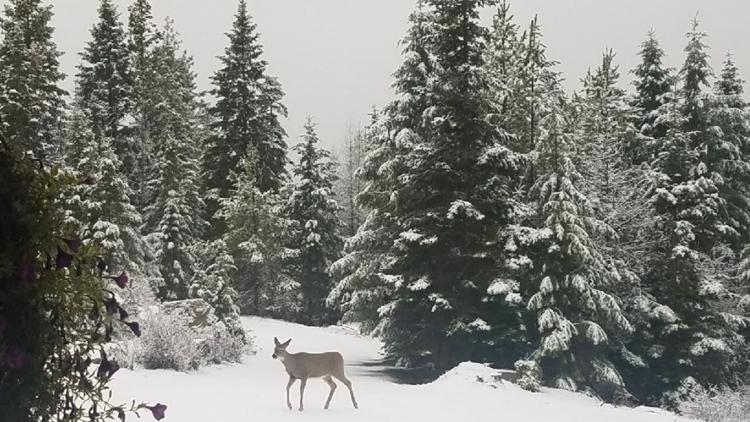
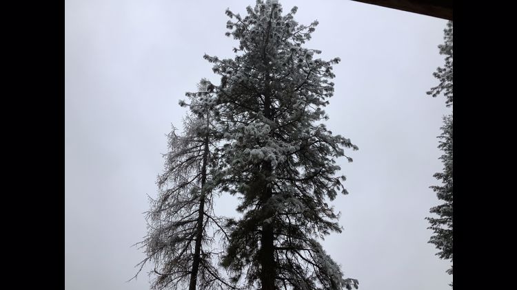
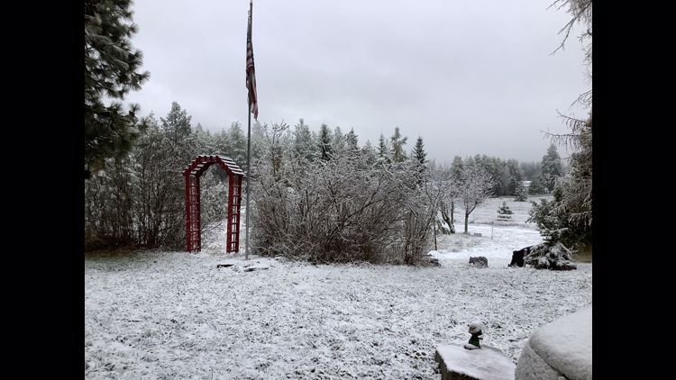
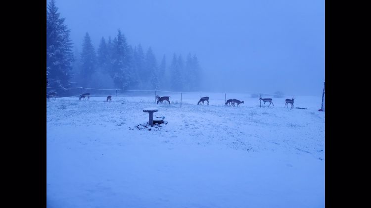
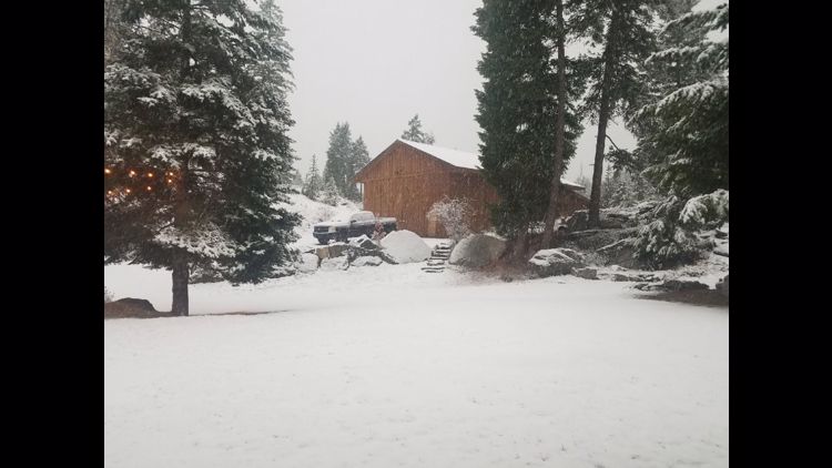
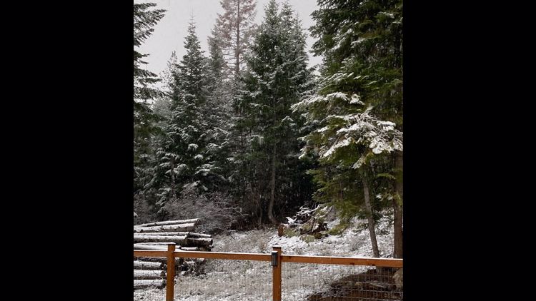
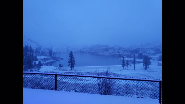
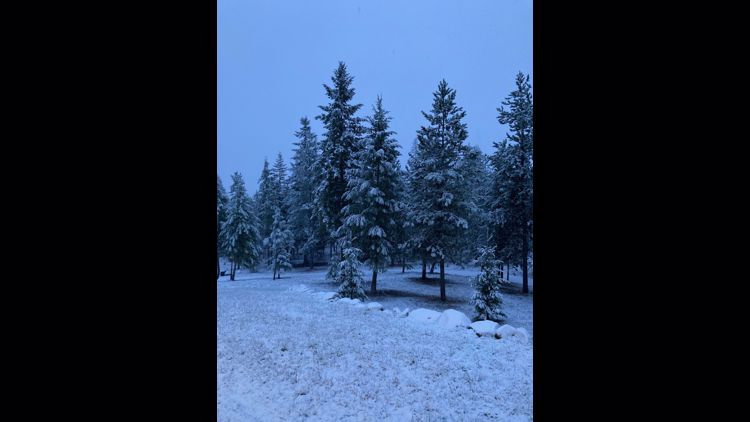
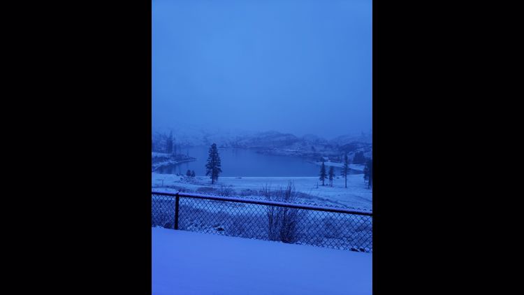
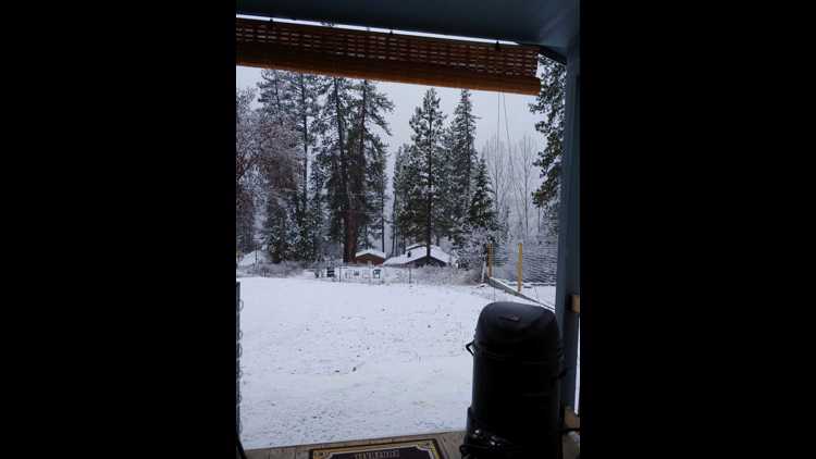
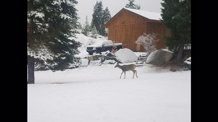
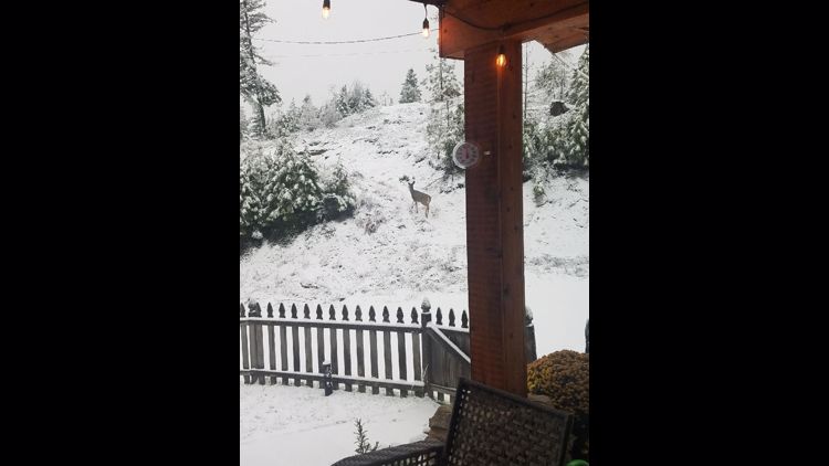
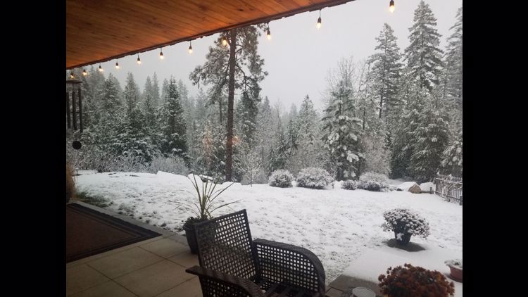
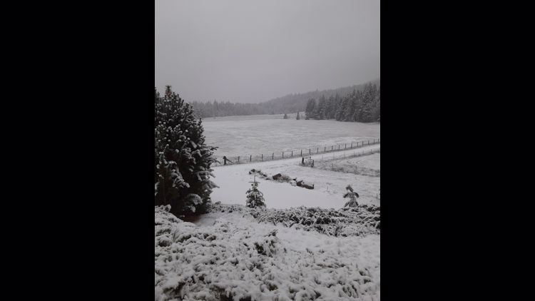
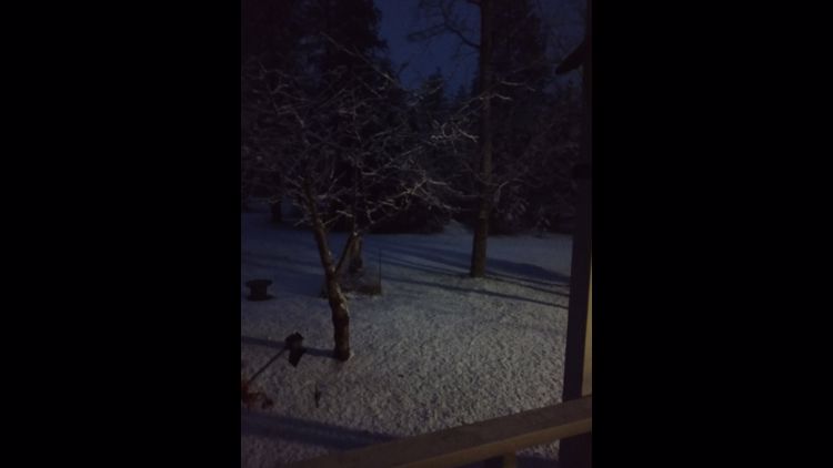
Farther north, places such as Republic, Chewelah and Colville got the first light coating of snow. Higher elevations of North Idaho picked up a light coating of wet, heavy snow early Tuesday, but it was hardly enough to call it anything more than the first snow of the season. North-facing slopes and grassy hills got enough to cover the ground while roads went from slushy to wet early in the morning.
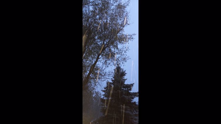
Photos: First snowfall of season around the Inland Northwest


As typically happens with early-season snows, this one won’t last long. Temperatures climbing into the mid-40s Tuesday afternoon will melt a bulk of what falls early in the day. Any place that picks up an inch or less shouldn’t have to worry about snow come the evening commute.
This is about the time of year snow starts moving into the Inland Northwest and in the coming weeks will become more of a normal occurrence.
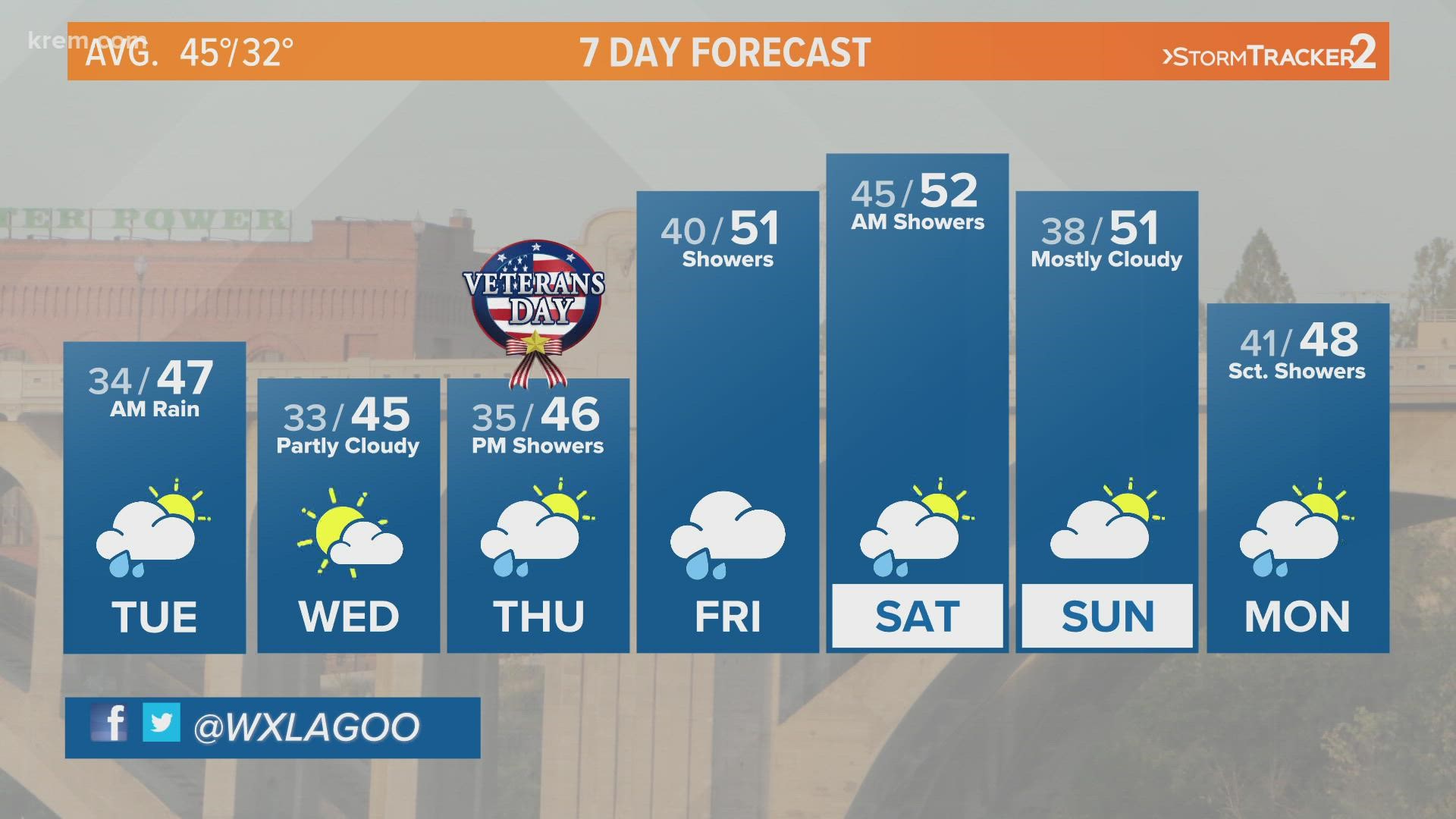
The forecast dries out through the middle of the week with our next storm arriving some time Thursday and Friday. The next storm looks to be much warmer and not offer as much in the way of snow, but we are quickly getting to the time of year where snow and ice will become a regular part of our daily drive.
If you haven’t yet, now is a great time to make an appointment to get the snow tires put on your car for the winter months ahead.