SPOKANE, Wash. — This week’s recent rainy weather and warm temperatures could lead to quickly rising waters for parts of the Idaho Panhandle and southeastern Washington, as well as avalanche danger in Idaho.
According to the National Weather Service, waterways that could see higher water levels in the coming days include the Coeur d’Alene River at Cataldo, Paradise Creek near Moscow and the St. Joe River at St. Maries & at Calder in Idaho, as well as the Palouse River near Potlatch.
Heavy rain on mountain snowpack could lead to the snow melting faster and increasing runoff, according to NWS.
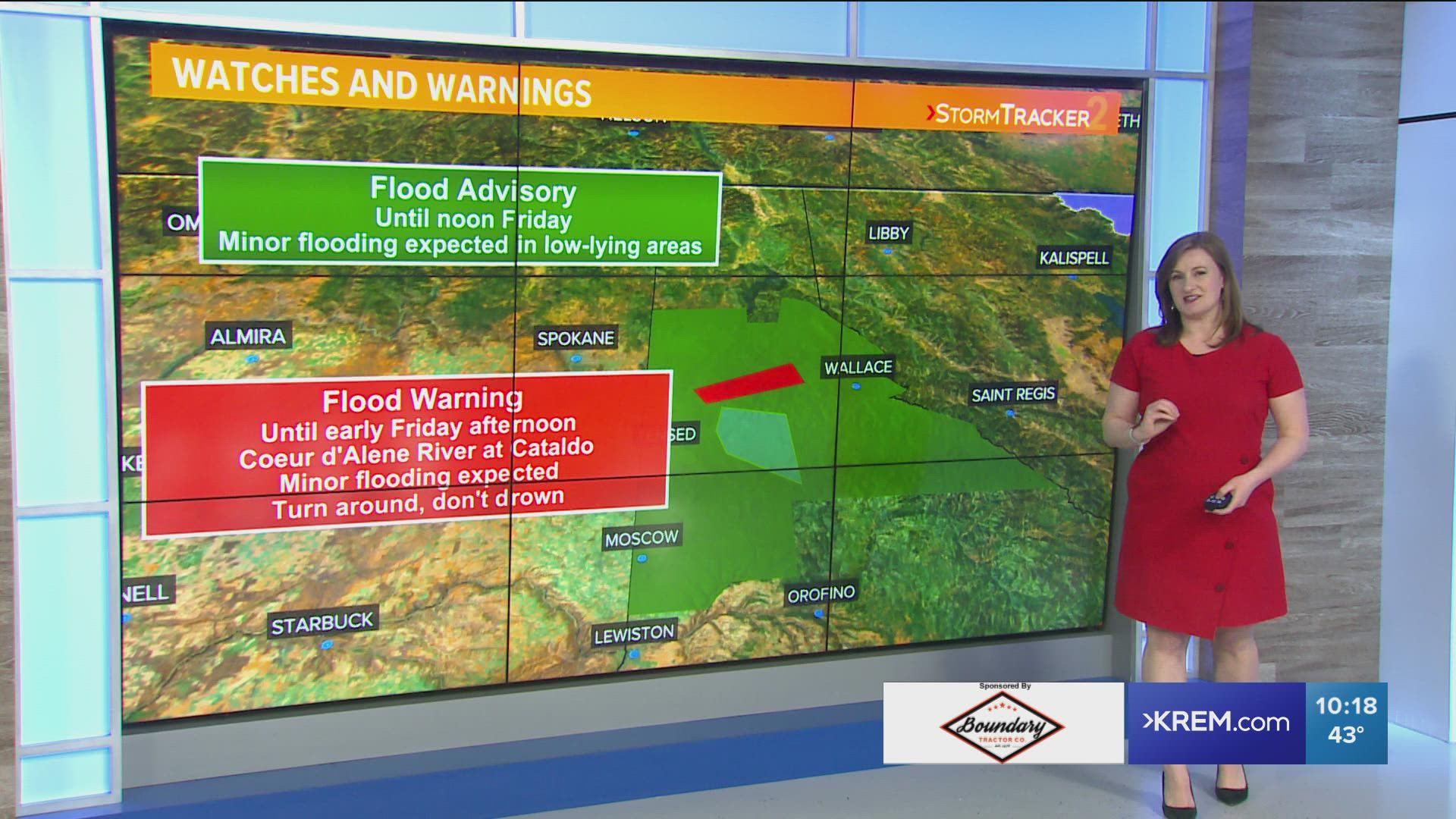
Several watches and warnings have been issued by NWS.
A Flood Warning for the Couer d’Alene River at Cataldo is in effect until Thursday afternoon. NWS said minor flooding is expected by Thursday afternoon before receding.
A Flood Watch is also in effect for the St. Joe River near St. Maries and Calder for potential flooding. The watch will be in effect from Thursday night through Tuesday evening. NWS said flood stage could be reached by Friday.
Finally, a Flood Advisory is in effect until noon on Friday for portions of North Idaho. Counties included in the advisory are Benewah, Kootenai, Latah and Shoshone counties.
In addition, the Idaho Panhandle Avalanche Center issued a Backcountry Avalanche Warning for the mountains of the Idaho Panhandle and northwest Montana. The warning is in effect for Idaho until 8 p.m. Wednesday and in effect for Montana until 9 p.m. Wednesday.
Once we get past this rainy system, expect mostly dry conditions for the weekend and temperatures in the low to mid-40s, which is average for this time of year.

