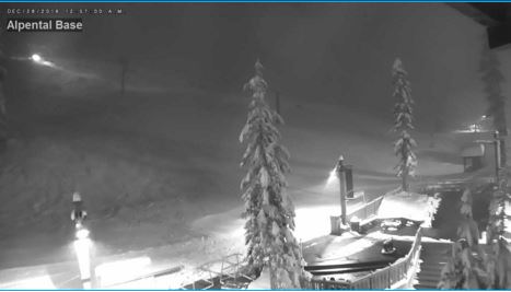
The Cascades got dumped on Tuesday as cool, slightly unstable air pushed through Western Washington. Parts of the Cascades got 1-2 feet of snow, adding to an already healthy snowpack as the skiing/snowboarding season gets into full swing.
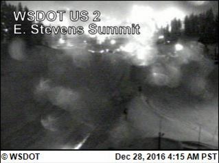
The passes were slow-moving, but conditions were improving along Snoqualmie Pass as of Wednesday morning. Steven Pass was shut down early Wednesday morning from 4:00 a.m.-6:00 a.m. for avalanche control, the first major closure of the season. Be sure to check pass conditions here before you leave.
Overall, though, the worst is over for the week. Snowfall will wind down through Wednesday morning before another round Thursday. We do not expect as much snow as we got Tuesday, but certainly a few more inches.
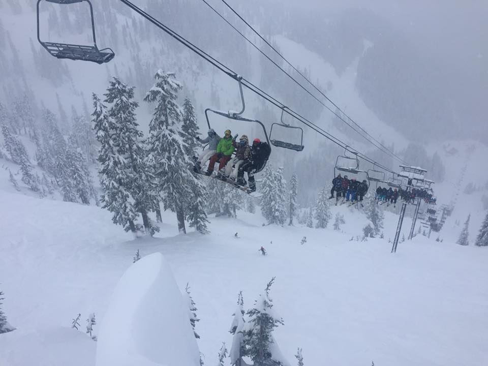
Mt. Baker is really raking in the snow: In 24 hours they collected 18," adding to their total of almost 300 inches of snowfall this season: that's more than 130 inches more than any other ski area in the state. You can check their ski report here.
KING 5 Meteorologist Ben Dery says the overall weather pattern we see right now is typical western Washington winter weather. A strong Jetstream situated almost straight west to east is pulling in somewhat mild, damp Pacific air. The snow should stay up in the mountains with rain in the lowlands the rest of the week.
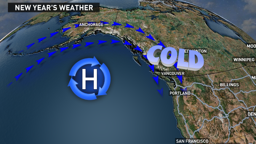
However, another shift in our jetstream pattern will occur as 2017 begins. Forecast models are starting to agree more with a large ridge developing over the Gulf of Alaska. If this happens, we’ll get an almost straight north-to-south flow pattern. This will help usher back in cold conditions from interior Alaska and B.C.
If things continue down this track, we’ll see another opportunity for lowland snow around Sunday, January 1. Even if we don’t see many snowflakes, at the very least the first few days of the new year are going to be chilly. Perhaps overnight lows back in the 20s, and daytime highs in the low to mid-30s. Nothing earth-shattering, but certainly winter apparel worthy!