SPOKANE, Wash. — As temperatures begin to drop this weekend, the mountains in Washington and Idaho are keens to pick up their next batches of snowfall this month.
The colder weather needs to arrive first of all, as unseasonably warm November weather is in place as of Thursday the 5th. Snow levels are barely dropping to 4,000 feet but that will be dropping next week.
The longer term outlooks for mid-November, from the start of next week through about the 17th have the entire western U.S. experiencing colder than average temperatures. Additionally, the Pacific Northwest favors above average precipitation. That will definitely mean more snow in the mountains.
When's the snow coming? There are a few different dates from successive weather systems that will play into mountain snowfall for the Inland Northwest and Cascades. First of all, the wet weather from Thursday through the weekend (Nov 5-8) will see snow levels drop from about 4,000 feet to approximately 2,500 feet by Sunday.
Sunday might be a day to watch over the Northern Rockies, as a slow moving Low Pressure area may still produce snow for parts of Idaho. There are even hints that Spokane could see a few snow showers Sunday morning as well.
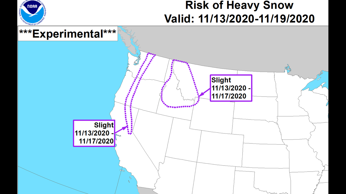
Next week, there are a chance for snow showers on Tuesday for sure. But the big snowfall appears to start the following Friday and could last into the following week.


This is about November 13-17 and the GFS computer models shows day-after-day of constant Cascade snowfall and likely North Idaho mountain snow too. This could likely result in several feet of snow for mountain slopes if this pans out. But being 8-12 days away in the forecast, it'll be worth monitoring closely all of next week.
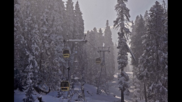
This is be great news of ski resorts that always want as much snow as possible. But mountain passes will likely have serious weather implications for drivers.


