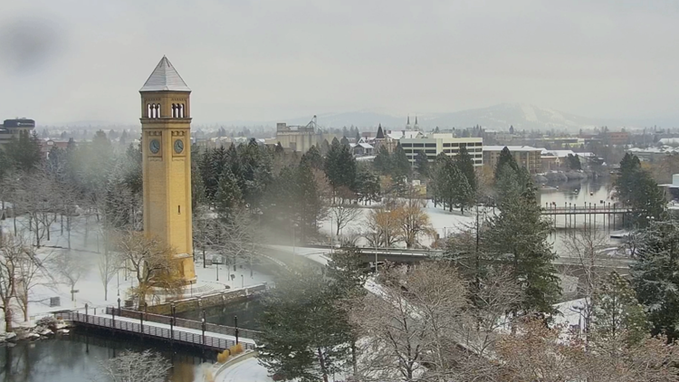
SPOKANE, Wash. — There is a chance for snow in Spokane the second week of October. It's just a chance, but it's a chance nonetheless.
The first snowfall of the season is always one that'll rile everyone up, whether you want the snow or not. But before we get carried away about the prospects of snow on the morning of Wednesday, October 13, there's a lot that can happen between now and then.
First, it needs to be cold enough to snow. And that we are the most confident about. The first push of cold air already arrived. Low temperatures have dropped into the 30s in Spokane, and the first freeze of the season is likely to occur this week or next at the latest. The next push of cold air, Tuesday of next week, will be quite the artic blast as the polar jet stream dips into the western U.S.
Timing of precipitation will be important as night and morning time may support snow, but afternoon precipitation would only result in rain. The GFS computer model has a wave of precipitation moving through northern and eastern Washington around Tuesday night and Wednesday morning which would support snow or a mix, depending on snow levels. But with high temps still forecast around 50 degrees, an afternoon even would just be rain.
Snow levels will at minimum be no higher than 4,000 feet during the day, so mountains and mountain passes would get snow either way. But how low the snow levels drop at night will make a difference. Even a few hundred feet could be the difference between Spokane's airport and downtown seeing either rain or snow.
But the chance for a weather system at all isn't guaranteed either. The Euro model doesn't show any precipitation at all for the same time frame. So there is doubt that snow could materalize in the first place.
That is what is making this forecast so challenging. A lot of weather factors need to line up perfectly for snow to accumulate next Wednesday morning, and there is by no means any guarantee. However, there is a chance. And a chance is enough to include in the forecast for now.
As the old saying goes: stay tuned. A forecast like this will continue to be analysied, scrutinized, and updated constantly between now and then. And those chances will be updated accordingly.


