SPOKANE, Wash. — Fire crews around the Inland Northwest are on high alert on Thursday and Friday as wind speeds increase with a passing cold front. The combination of hot, dry and windy weather increases fire danger dramatically.
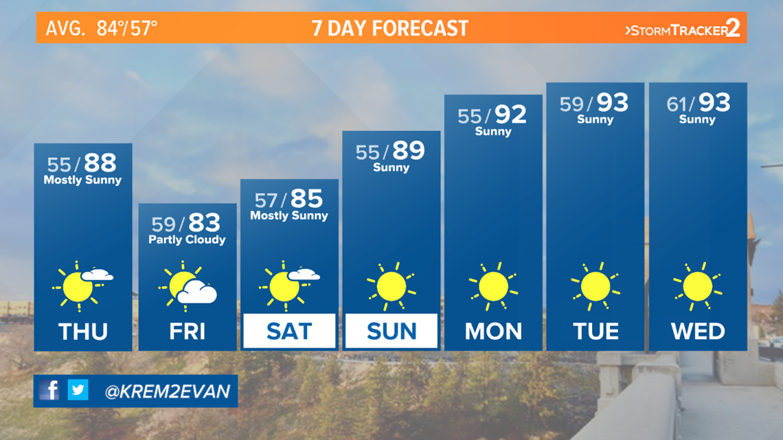
The dry front will produce some cloud cover but temperatures will only cool by a few degrees, keeping afternoon high temperatures in the 80s over the weekend and possibly pointing to 90s by early next week.
July has remained well below average on precipitation levels for 2020. Higher precipitation levels can help delay the start of fire season or in some cases lessen the impact of it.
When winds pick up amid dry conditions, a fire that starts can rapidly spread. Thursday afternoon and evening look to be the main concern with 20 to 30 mph gusts through eastern Washington and upwards of 30 mph gusts across the lower Columbia Basin and across the central Washington valleys.
Fire spread is heightened especially through dry grasses and sagebrush, common around the INW in the summer. It's important to keep an eye on recreational burn bans in effect in your county and stay up to date on precautions associated with keeping you and your family safe.
Winds are expected to die down around Friday afternoon leading to a calm weekend. Temperatures climb into early next week with low 90s and clear skies in the forecast.


