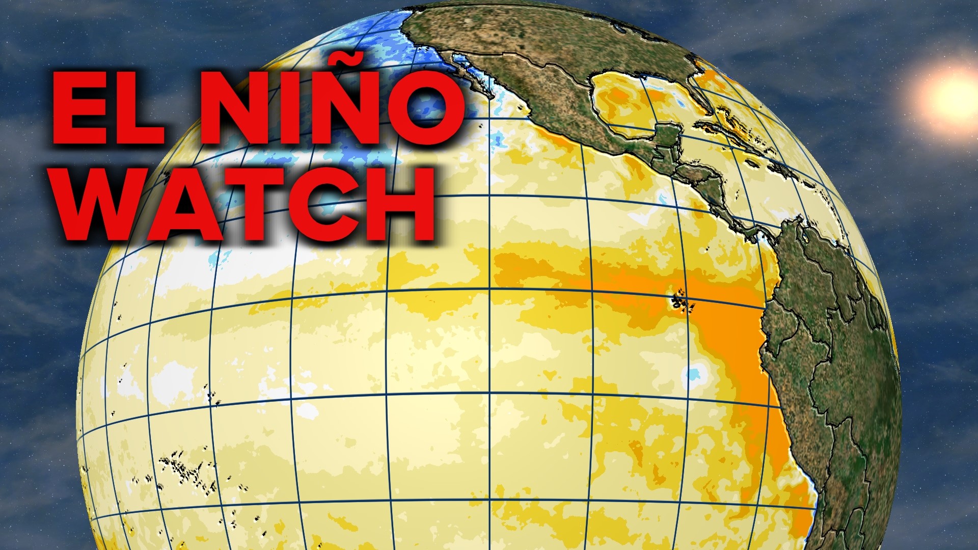
SPOKANE, Wash. — After three straight La Niña winters, El Niño is forecast to come roaring back for next winter!
The transition is already taking place. As the ocean temperatures in the equatorial Pacific waters, where El Niño and La Niña are measured, have already warmed back to average, and all signals point towards further warming and El Niño conditions as early as June or July.
To quickly recap, when the ocean waters in this region of the Pacific is above normal, that's El Niño. Below normal is La Niña. And near normal is considered neutral. An anomaly of 0.5°C (or about 1°F) is considered El Niño or La Niña respectively.
Over the past three years, La Niña has been present. The water temperature delta ranged from -1.3°C to just 0.9°C. But as of April '23, the water temperatures are average and are quickly trending warmer over the next couple of months. One of the clearest signs of this change takes place off the western coast of South America. Water temperatures in this region are already +2.5°C above normal and that will correlate to warming waters as the Trade Winds of the Pacific draw those waters west.
There's a 62% for El Niño to have developed by June, just one and a half months from now, a 75% chance by July, and nearly a 90% chance by November and December this year.
Additionally, there's a 40% chance for this to be a strong El Niño, which would mean water temperatures are 1.5°C above normal.
So what does that mean for Spokane and the Pacific Northwest? El Niño affects weather patterns most notably during the winter in North America. For the Pacific Northwest, this typically means that the winter months are warmer or milder and sometimes a bit drier too. The correlation isn't perfect, but the stronger the El Niño is, the more likely the seasonally mild conditions are to occur.
However, A strong El Niño doesn't necessarily mean that the winter season will be "more" warm, or more above average. Just that the warmth is more likely to occur in the first place.
La Niña is the opposite for the PNW. Colder, wetter, and snowier conditions are more likely. The past three winters in Spokane were a bit variable with 2022-23 easily being the coldest and snowiest with 62.1" of snow (so far.)
When it comes to the strength of El Niño during the winter, the correlation and feedback are felt the most frequently in California. El Niño's are wet patterns across California and the southern U.S. and can sometimes resemble the pattern from early 2023, with Atmospheric Rivers being a common weather feature that delivers heavy rains for the coastal cities and extreme snow for the Sierra Nevada mountain range.
DOWNLOAD THE KREM SMARTPHONE APP
DOWNLOAD FOR IPHONE HERE | DOWNLOAD FOR ANDROID HERE
HOW TO ADD THE KREM+ APP TO YOUR STREAMING DEVICE
ROKU: add the channel from the ROKU store or by searching for KREM in the Channel Store.
Fire TV: search for "KREM" to find the free app to add to your account. Another option for Fire TV is to have the app delivered directly to your Fire TV through Amazon.
To report a typo or grammatical error, please email webspokane@krem.com.

