
SEATTLE — The United States Geological Survey (WSGS) announced Wednesday that its ShakeAlert System, which alerts the public before an earthquake begins, will add real-time satellite data to improve its early detection warnings.
In addition to over 1,500 seismic sensors used to detect ground shaking, the ShakeAlert system will use sensors that detect earth-surface movement via satellite.
The WSGS said in a release the system's new capability will use data from real-time Global Navigation Satellite System sensors, improving scientists' ability to quickly and accurately determine the magnitude and area of shaking from large earthquakes. In turn, this will result in faster notifications for people to take protective action, such as "Drop, Cover, and Hold On."
The ShakeAlert System, currently available in California, Oregon and Washington, can protect people and infrastructure by delivering alerts to cell phones and triggering automatic actions like slowing down trains to prevent derailments, opening firehouse doors so they don't jam shut, and closing valves to protect water systems, according to the WSGS.
The ShakeAlert System has been available since May 2021.
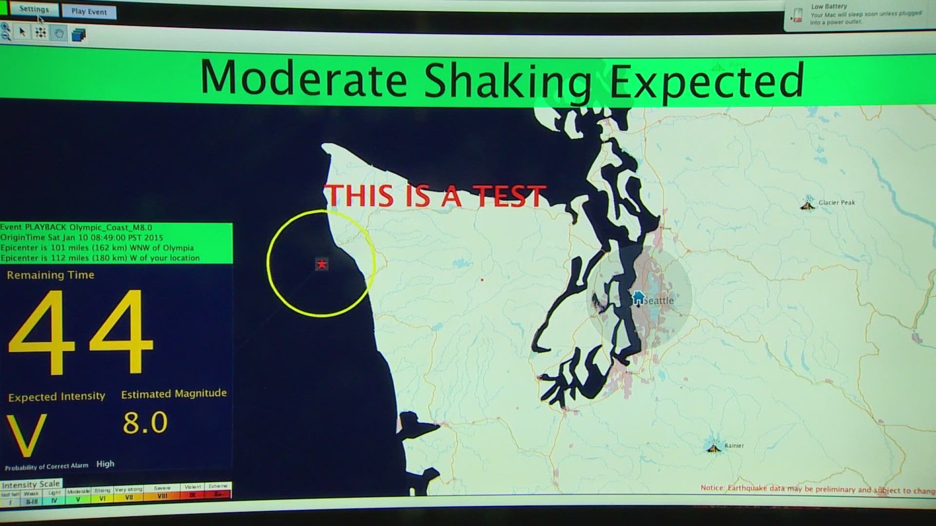
“But when earthquakes get really big, turns out, seismometers aren't good enough, they do detect just the shaking," said Harold Tobin, director of the Pacific Northwest Seismic Network. "If we use GPS measurements, the same thing that powers you know, the map in your phone or your car, then what we can do is actually detect how much the earth shifts literally how far the ground moves. That's the slip of the fault in the earthquake. And those GPS measurements are something that we can use to much more accurately and rapidly figure out that a large earthquake is underway. So we worry about, for example, the big one offshore here in the Northwest. And this GPS technology will actually make our early warnings better and faster for those larger earthquakes.”
Tobin said the alerts will kick in when it predicts a magnitude earthquake of 5.0 or more, or when shaking is expected to be potentially damaging.
“Early warning of, you know, 10 or 20 seconds or half a minute, doesn't seem like much, but actually, that's enough to make you do different things than you would otherwise do," Tobin said. "People tend to panic when they just feel the shaking with no warning. “But if you get that early warning, and it says drop cover and hold on, then you can pause. It's gonna be an earthquake in a few seconds. What do I do? Maybe I get under that table or move away from the windows in the room. That sort of thing that can really save you from injuries and even save your life.”
According to the WSGS, the seismic sensor buildout for ShakeAlert will be finished by the end of this year. There will be a network of 2,000 ShakeAlert stations across Washington, California and Oregon.