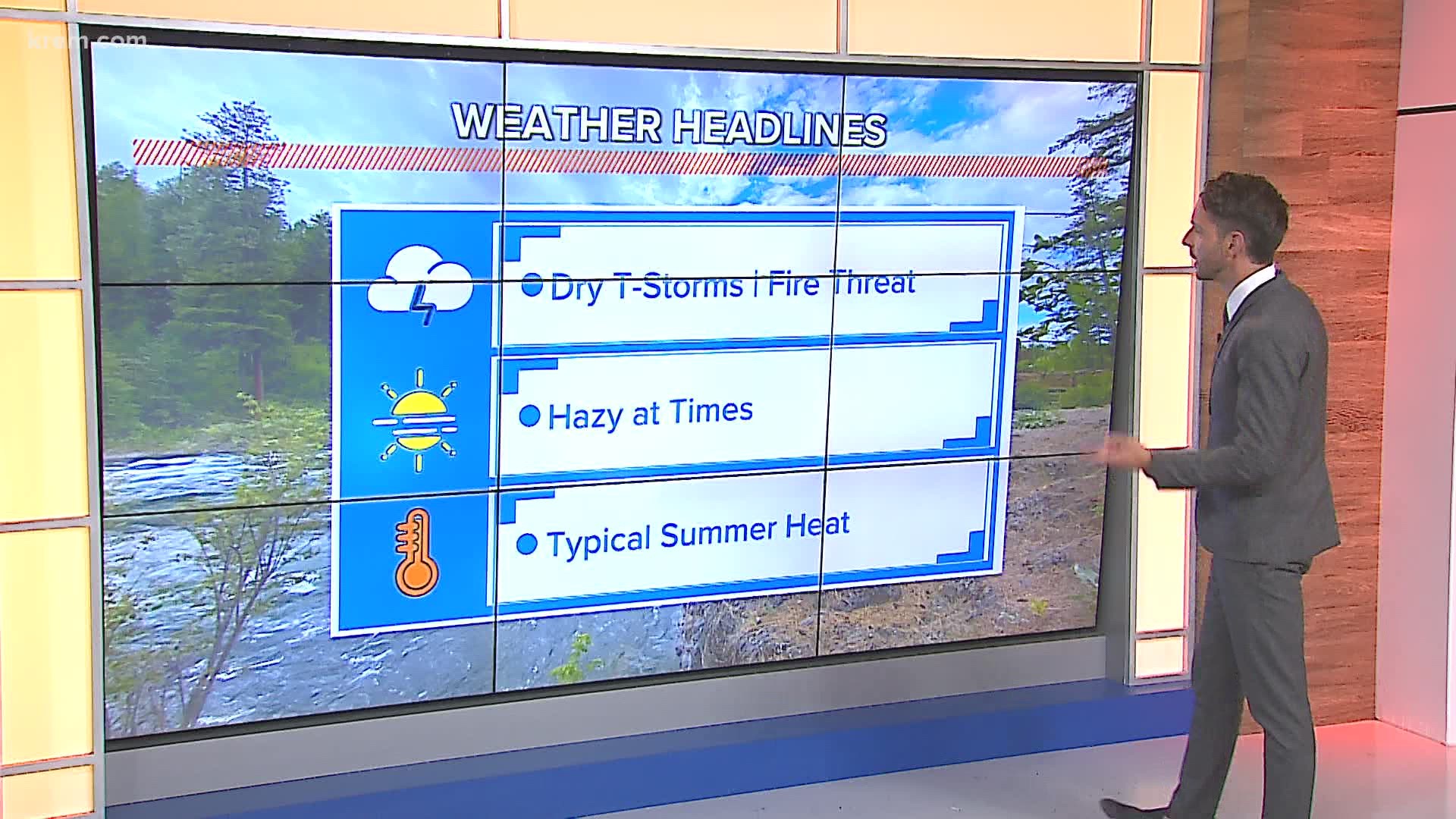
SPOKANE, Wash. — Red Flag Warnings are in effect through 10 p.m. Wednesday for all of central and eastern Washington as well as North Idaho. Critical fire danger through this time frame comes in a dual threat, consisting of both the usually dry and windy conditions and the chance for dry lightning strikes Wednesday morning.
Since Monday, the area of the Red Flag Warning has expand to include nearly all of the Inland Northwest. Areas in eastern Washington and North Idaho are more at risk of the thunderstorms, while central Washington will experience the dry and windy conditions.
Starting with the dry lightning, another chance for isolated showers and storms with lightning strikes are expected to occur between the hours of 1am and 9am Wednesday. As of 5 a.m. there was convection west of Spokane.
Monsoon moisture and a disturbance is traveling northward through the Rocky Mountains Monday. The mountains are ringing out a lot of the moisture but leaving the energy behind. This will create thunderstorms void of rainfall. The lightning creating will have a high chance to start new wildfires, a situation that has already occurred this year in the region.
One of the most recent lightning-caused wildfires was the Chuweah Creek Fire near Nespelem. That fire started and spread extremely quickly on the evening of July 12. The thunderstorms forecast for Tuesday and Wednesday could have a similar outcome.
Central Washington faces a different threat. The thunderstorms won't be present, but dry conditions and wind picking up will create the threat of wildfire starts and spread. Relative humidity will be less than 20 percent with wind gusts approaching 25 miles per hour.

