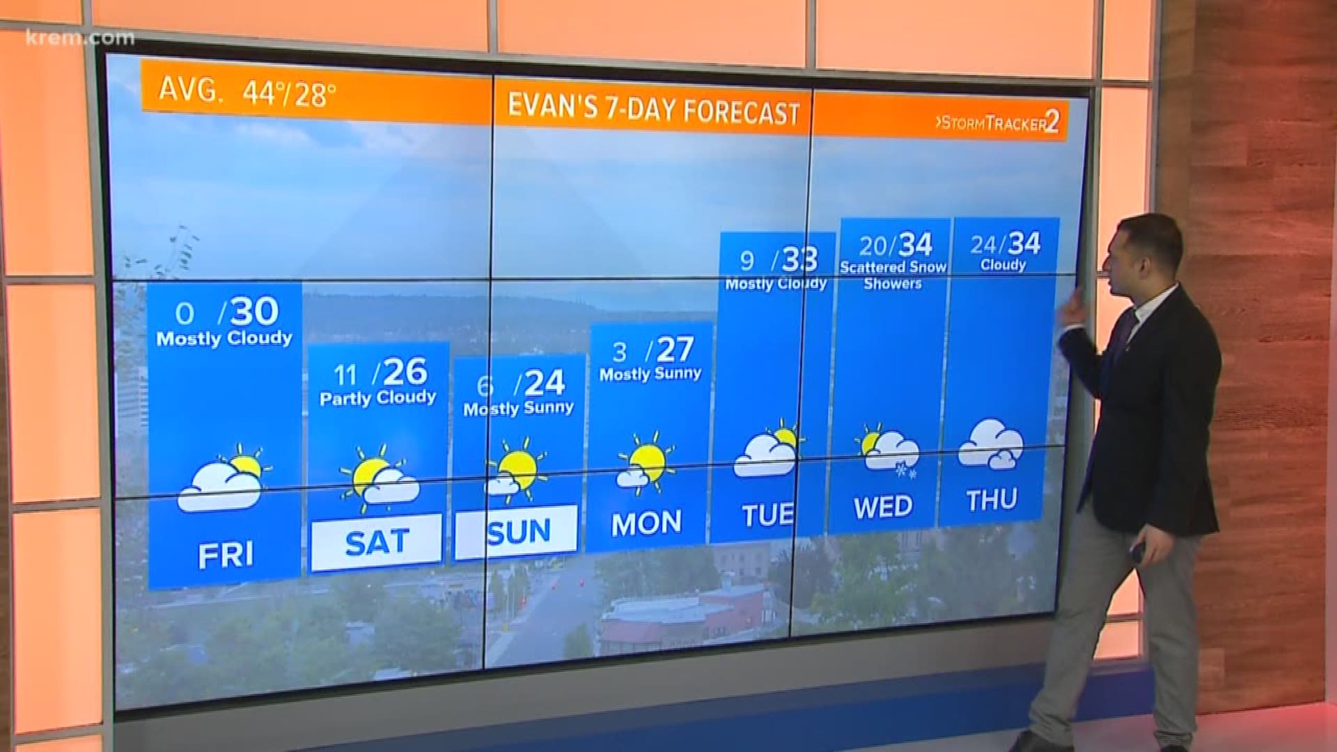
SPOKANE, Wash. — Spokane will not see temperatures in the mid 40s, which is average for this time of year, until mid-March.
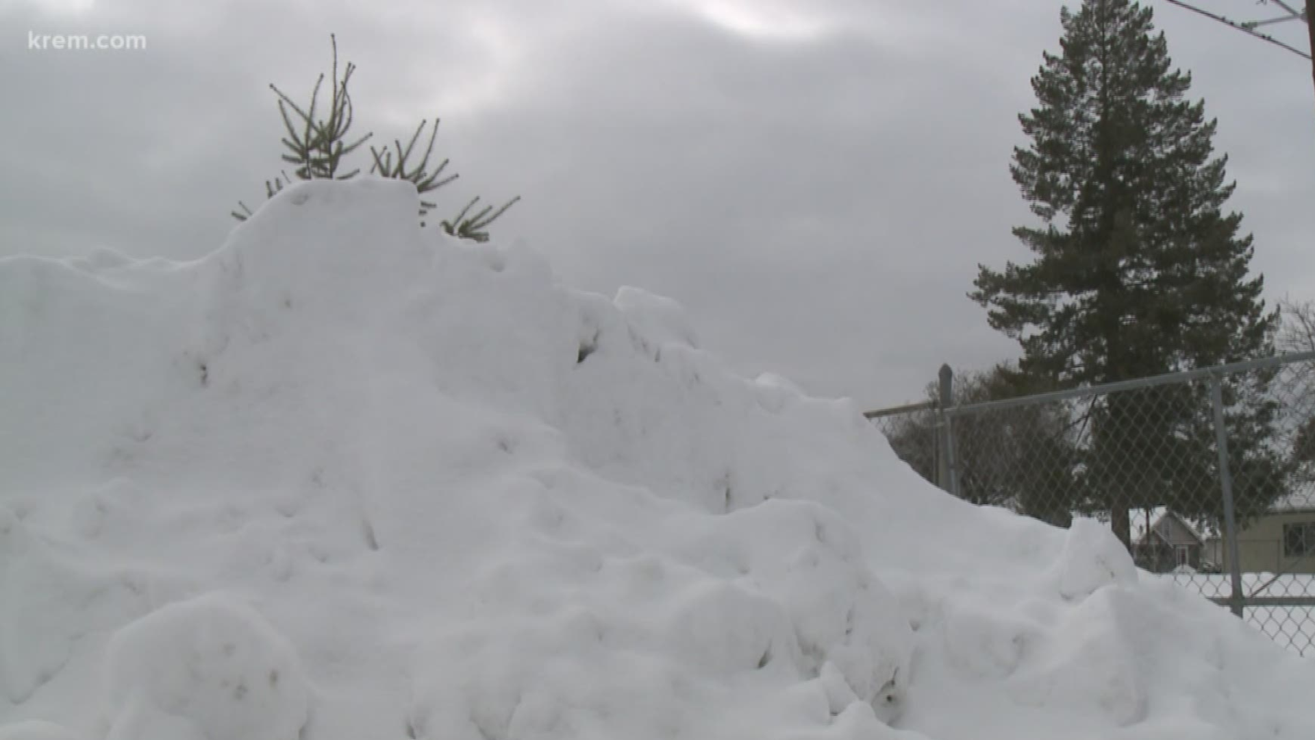
Temperatures have been below average as last month ranked as the second snowiest and fourth coldest February in recorded Spokane history.
Spokane will remain in below average temperatures until mid-March, when we could see the mid-40s, according to KREM Meteorologist Michelle Boss.
Brutal wind chills have made cold temperatures feel even lower, and a National Weather Service forecast predicts that parts of north Idaho could see wind chills as low as -10 degrees over the weekend.
A more than yearlong streak was broken on Friday, as overnight low temperatures in Spokane dropped to zero degrees, the first time that cold of an overnight temperature was recorded since Jan. 2017.
The month of February brought record amounts of snow to the Inland Northwest, with 29.9 inches in Spokane. But as winter weather and clouds clear, it allows temperatures to cool tremendously. Cloud cover does a great job of keeping overnight temperatures warm, since it isolates and keeps heat close to the ground. When clouds clear, temperatures can drop quickly as they did Friday morning.
Both afternoon high temperatures and overnight low temperatures trended about 10-20 degrees below average for February and look to remain in that range for the month of March.
February was the fourth coldest on record, according to the National Weather Service.
On Feb. 28, Spokane set a maximum snow depth record. Seventeen inches of snow for Spokane beat the 1969 record of between 16 and 17 inches.
Saturday and Sunday hold slight chances of snow flurries, but winter weather will hold off until about the middle of next week. Overall, the weekend should include mostly cloudy skies with some sunshine.


