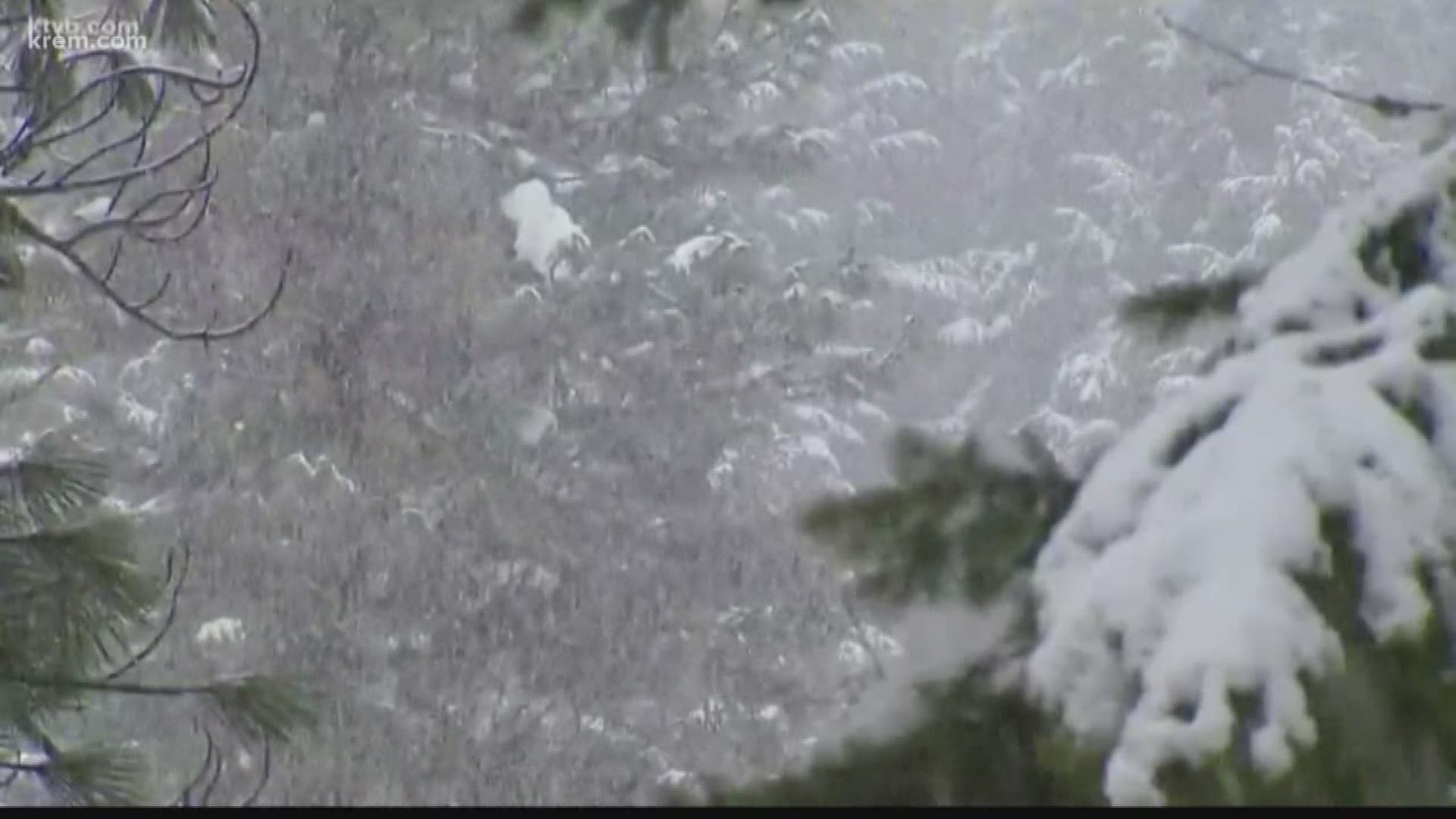
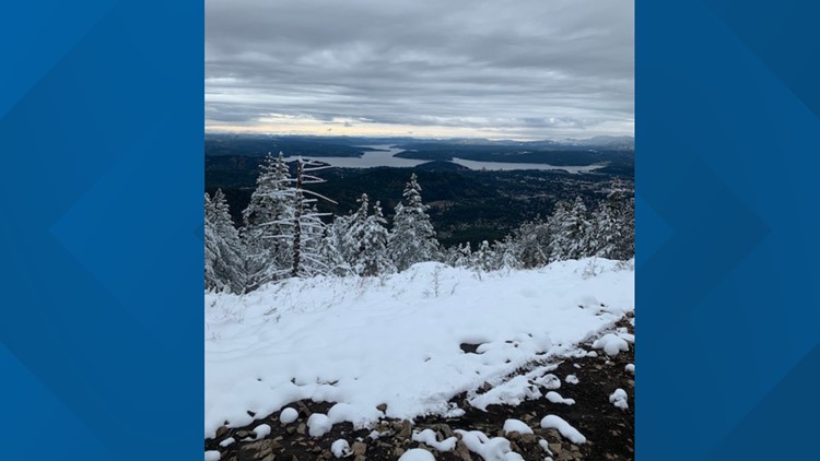
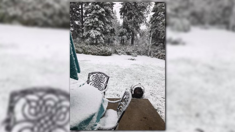
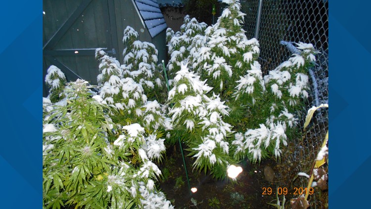
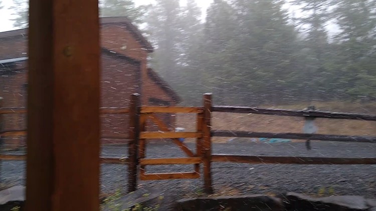
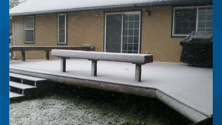
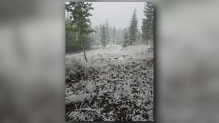
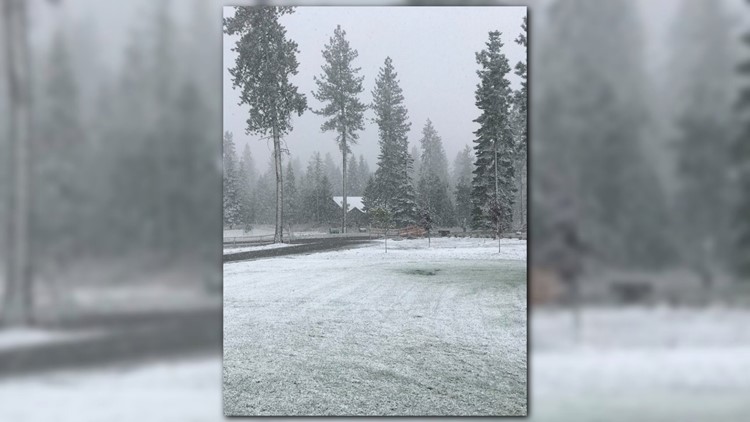
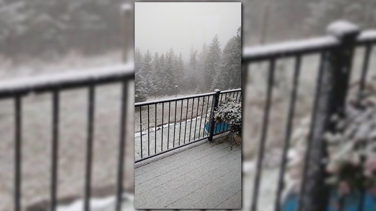
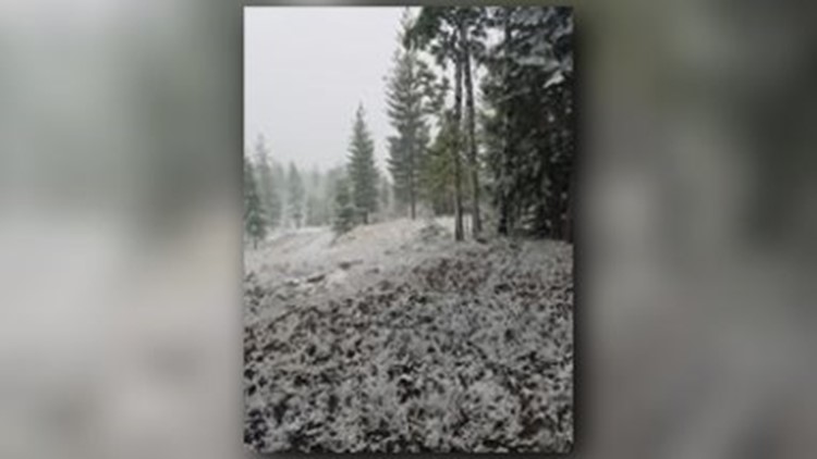
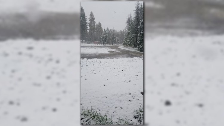
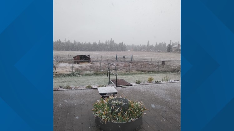
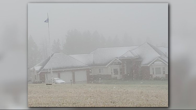
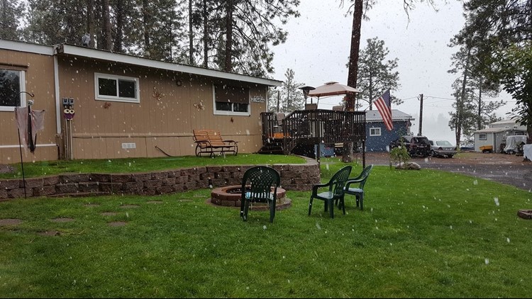
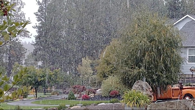
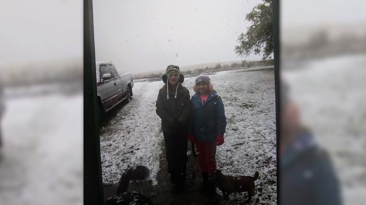
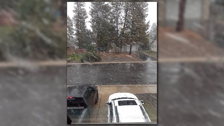
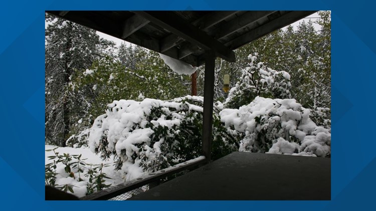
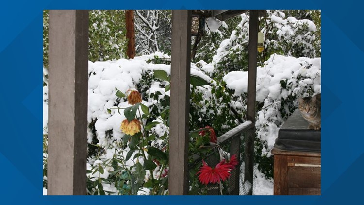
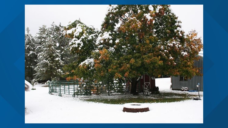
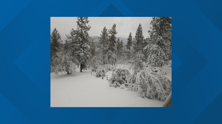
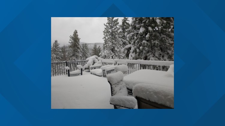
SPOKANE, Wash. — The snow has been the hot talk of the weekend in the Inland Northwest.
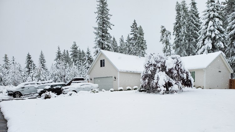
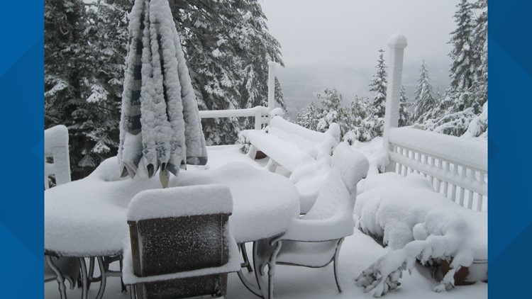
National Weather Service Weather Spotter Faye Neff near Boyds, Wash., provided some insight on the heavy snowfall she has seen over the weekend.
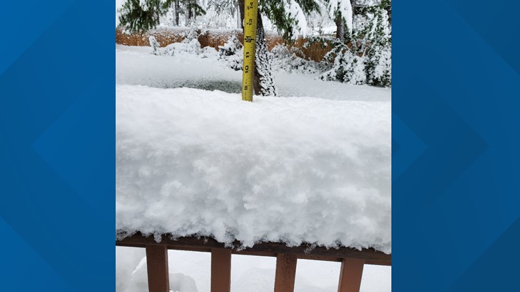
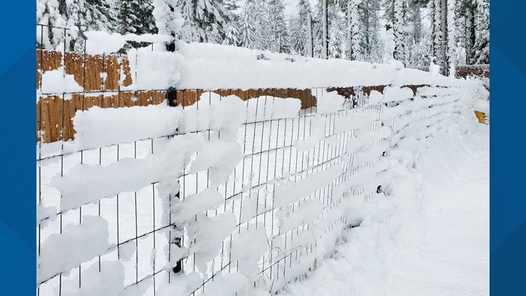
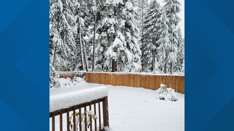
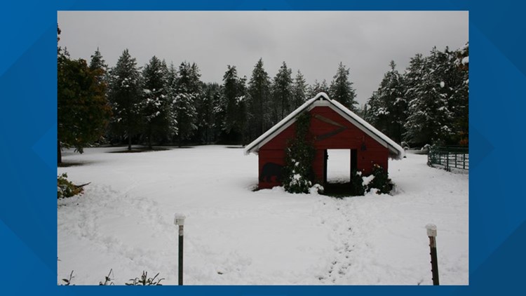
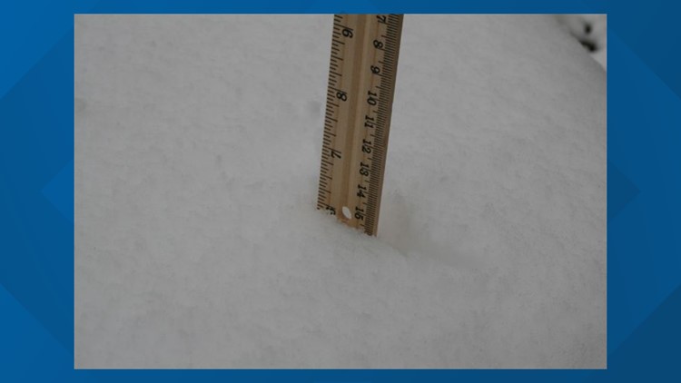
"Well it's still snowing. When I measured at 7 o'clock this morning for my reports, I had 19 inches on the ground. We got 14 and a half yesterday. I do not know how much new has fallen since, but I would guesstimate probably another inch or two," Neff said.
While the snowfall has been large in quantity, it looks like it's likely going to stick.
"Oh its like Western Washington snow. Very heavy, very solid. It would make a good snowman or snow fort," she said.
The National Weather Service Spokane shared a map of snowfall experienced on the eastern side of the state in a tweet earlier Sunday.
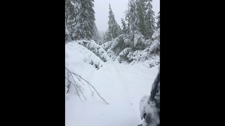
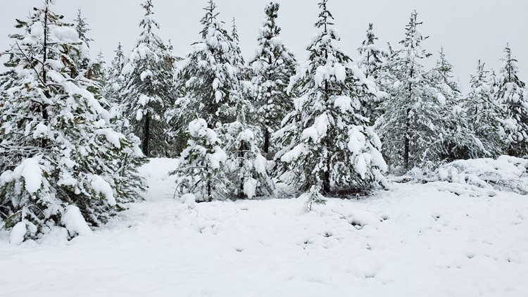
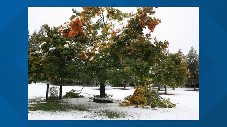
Neff went on to touch on how the snow has affected surrounding trees in the area.
"From our house, we could see four trees that have split. Our neighbor has told us, yesterday, he pushed ten trees off of Mattson Creek," Neff said. "When the county got the grater up here yesterday, my understanding is they pushed a tremendous number off. No really number, but a tremendous off of Deadman Creek and Jackknife Lookout. Just trees down all over the place."
Snow totals near Post Falls and Coeur d'Alene are hovering around three inches. According to the National Weather Service, Spokane also received a little over three inches of snow overnight and it looks like the snow is slowing down for the rest of today and it will likely turn into rain.

