SPOKANE VALLEY, Wash. — An unusual looking car is turning heads in Spokane Valley.
The city of Spokane Valley said the "Street Scan" car is a vendor it hired to take 3D scans of its roads.
"The purpose of this street scan car is to take laser level pictures, a continuous photo the whole length of our street, so we can get an idea of how our roads looks, what kind of distresses they have," City Pavement Management Coordinator Adam Jackson said. "That helps us prioritize and manage projects going forward."
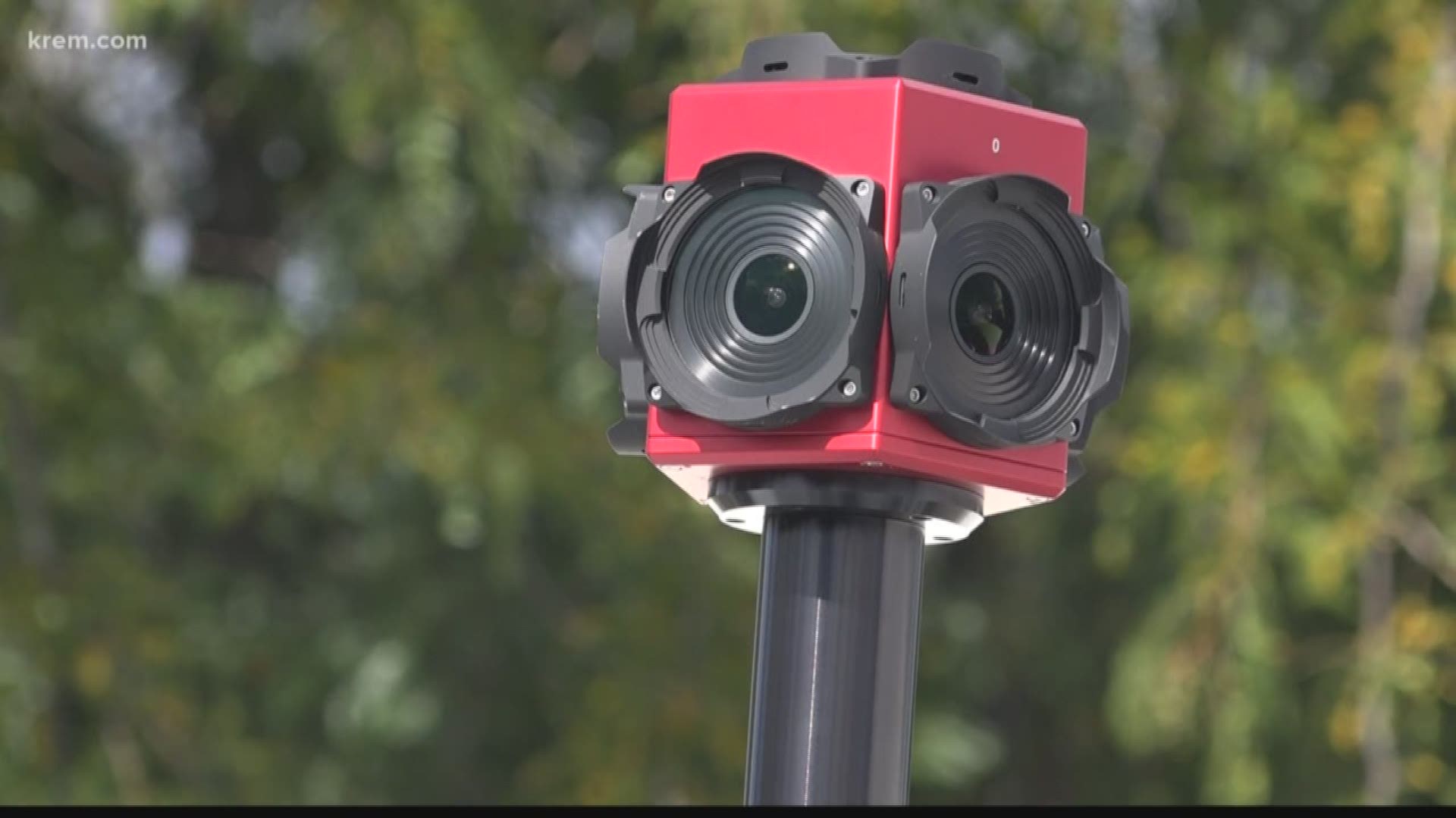
The camera mounted on top of the car has the same concept as a Google Maps car. It takes 360 degree images of where the driver travels. The city uses those images to spot damaged signs or curbs.
Under the checkered boxes, mounted to the back of the car, are four high definition cameras. Using 3D imaging technology, they scan the road and measure the severity and extent of any defects in the road.
"That's surveying the surface of the road," Jackson said. "It's getting depth even, with the computer programming on the software side, to really get a detailed view of what our streets are doing."
Recording the condition of the streets is something the city has always done. But the information was collected manually, leaving room for human error.
This year is the first time the city contracted with a vendor using this new technology.
The driver will spend the next two weeks driving 450 miles of Spokane Valley city streets.
Depending on the traffic flow or width of some streets, they will drive through those areas twice.

