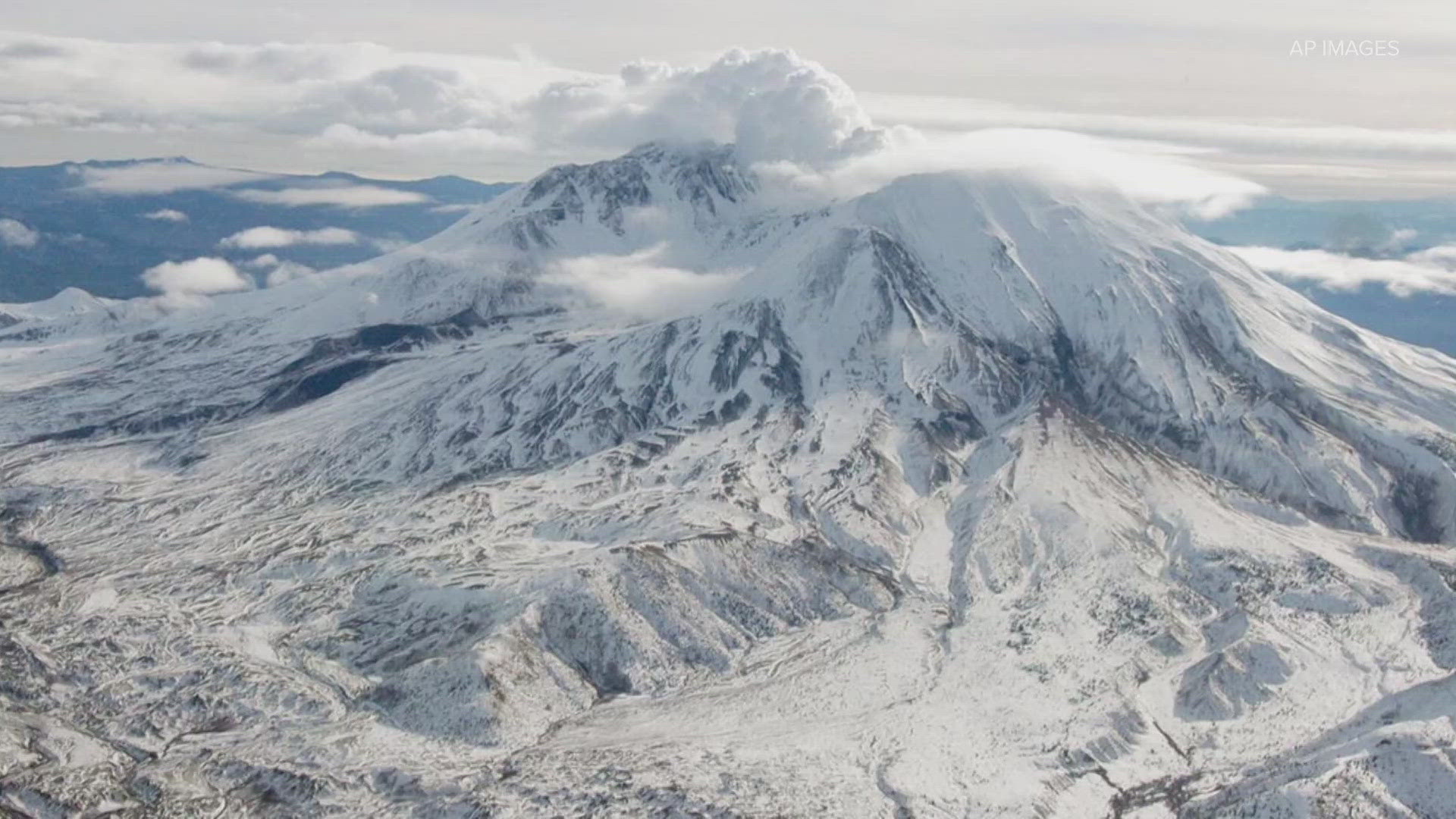
MOUNT ADAMS, Wash. — The United States Geological Survey says it located six earthquakes at Mount Adams in September -- the most in a month since monitoring began in 1982. The agency says, "there is no indication that the level of earthquake activity is cause for concern," but more monitoring will help geologists understand the full extent of activity at the site.
Mount Adams is located about 50 miles from Yakima and 30 miles north of the White Salmon-Hood River area. A 2018 threat assessment detailing the risks associated with volcanic activity categorized Mount Adams as "high threat" due to its potential impacts; Mount St. Helens and Mount Rainier were categorized as "very high threat."
The USGS says the greatest threats to people living near Mount Adams are lahars, which could happen during eruptive or noneruptive periods. Around 300 years ago, lahars flowed all the way to and past the Trout Lake area and much smaller landslide-triggered avalanches happened in the 1900s but did not travel as far.
Harold Tobin is a seismologist, a professor at the University of Washington and director of the Pacific Northwest Seismic Network. He says when volcanoes are active in any way, whether magma is moving or hot water and rock are interacting to cause fractures, they produce tiny earthquakes -- most too small for anyone to feel. Seismometers on the volcano serve as stethoscopes that can listen for the cracking and rumbling they produce.
"Of course, they can produce them without producing an eruption- they do all the time- all of our Cascade volcanoes have some level of earthquake activity," Tobin said. "But, there are changes in that activity that we can watch for that really are the signs of the possibility of moving up to an eruption. We're not there yet, we're not with Mount Adams but we have seen changes."
Tobin is hopeful more monitoring will help geologists understand the true breadth of activity at Mount Adams. Previously only one monitoring station was installed at the Mount Adams site. The new stations will be under temporary permits from the U.S. Forest Service.
"Even though there was only one monitoring station that's enough to detect earthquakes down to the magma level, down to magnitude 1, that's less than anyone will feel - only instrumentally recorded," Tobin said. "One station allows us to tell if it's active. We need two, three or more to do precise analysis in locations."

