SPOKANE, Wash. — February's first winter storm hits eastern Washington and north Idaho starting Sunday morning and lasting through the first half of the day Monday.


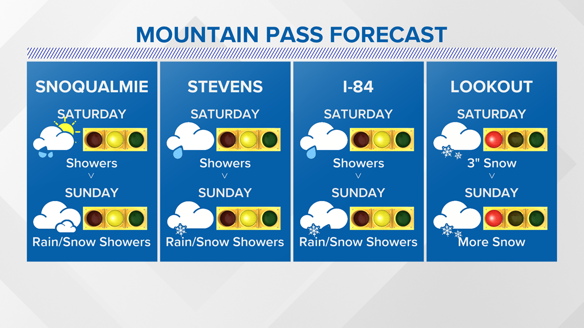
Winter Storm Watch issued for the northern and eastern Idaho areas until 4 p.m. Monday. This includes Bonners Ferry, Sandpoint, St. Maries, and Lookout Pass.

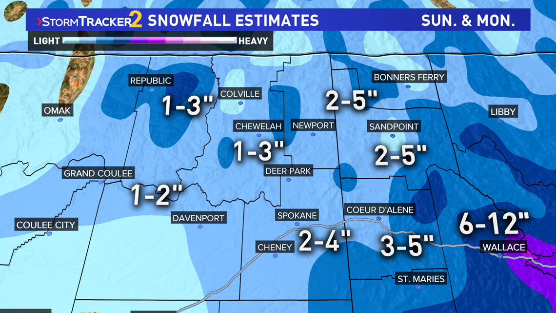

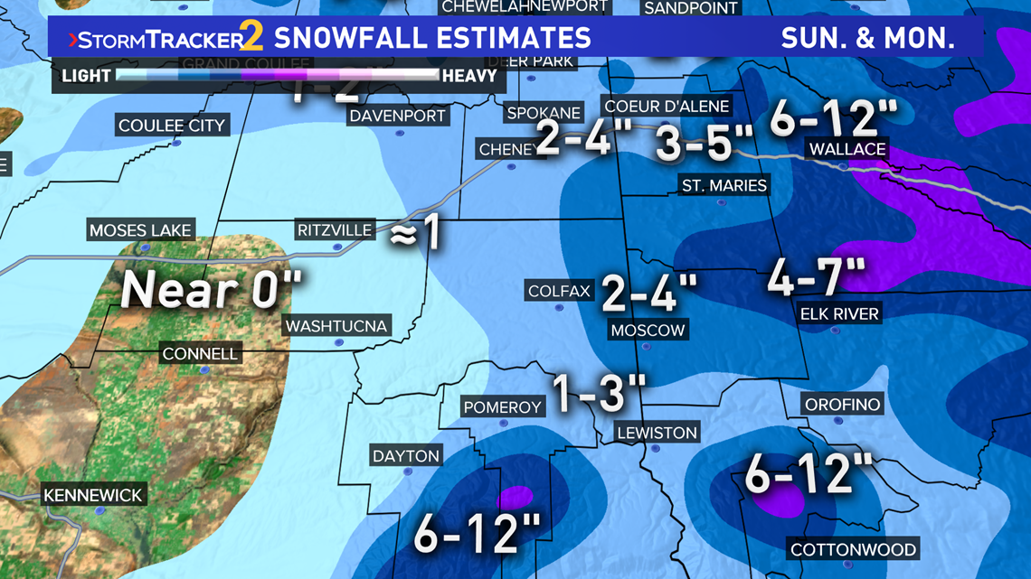
Snow totals are expected to be around 2-5" in most valleys in Idaho, with 6-12" in the mountains and near Lookout Pass. Meanwhile, on the Washington side of the border, 2-4" is expected in Spokane, 2-4" for Pullman, about 1-3" in the valleys to the north, and only about 1" out of Ritzville.

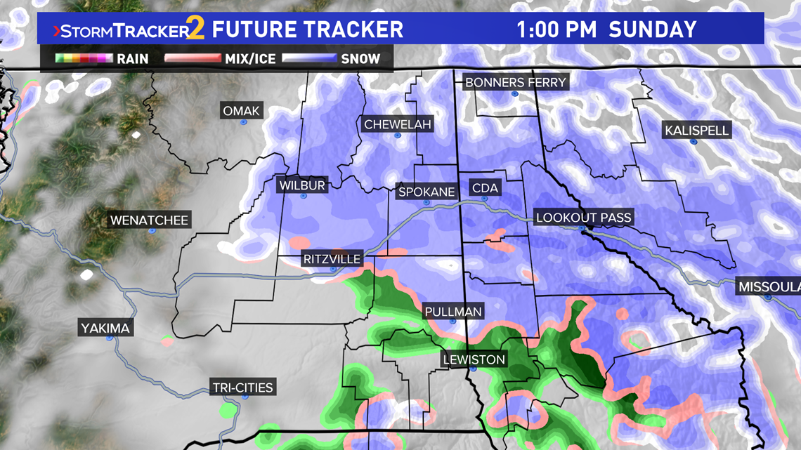
The timing of this system will start as rain Sunday morning, with a transition to snow from about 4 p.m. to noon. Scattered snow showers continue through the day Sunday and will end by the afternoon Monday.

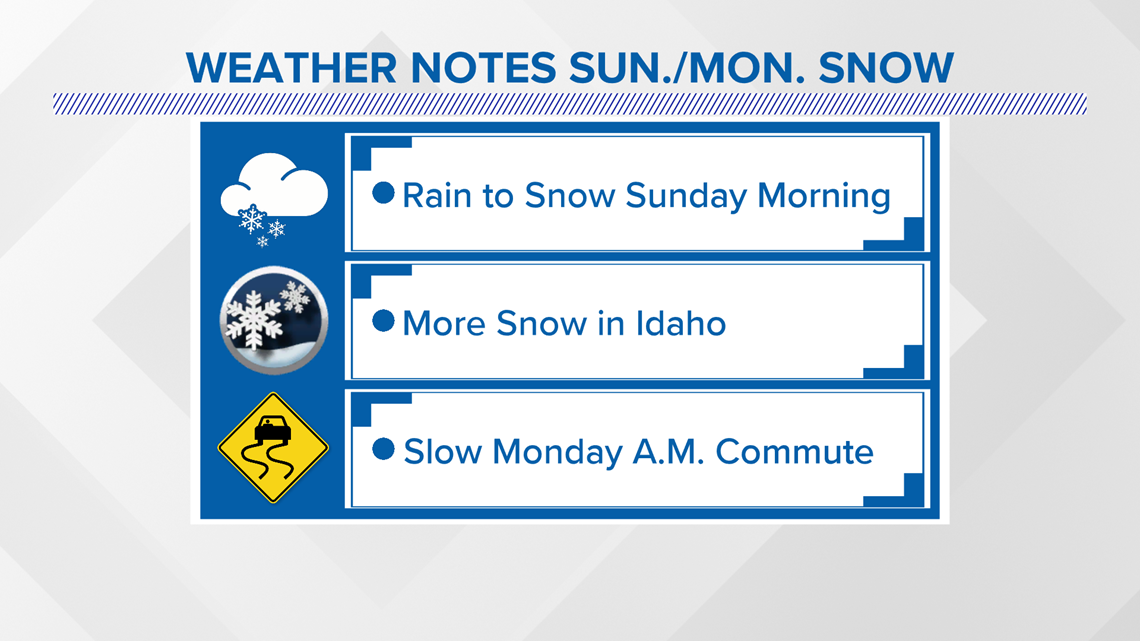
Expect moderate travel impacts around the Spokane and Coeur d'Alene area once the snow begins to fall and through Monday morning's commute. Lookout Pass will see high impacts and hazardous travel with so much snow in the picture.

This page will be updated as the forecast is fine tuned leading into this weather event.
- KREM 2 Meteorologist Thomas Patrick


