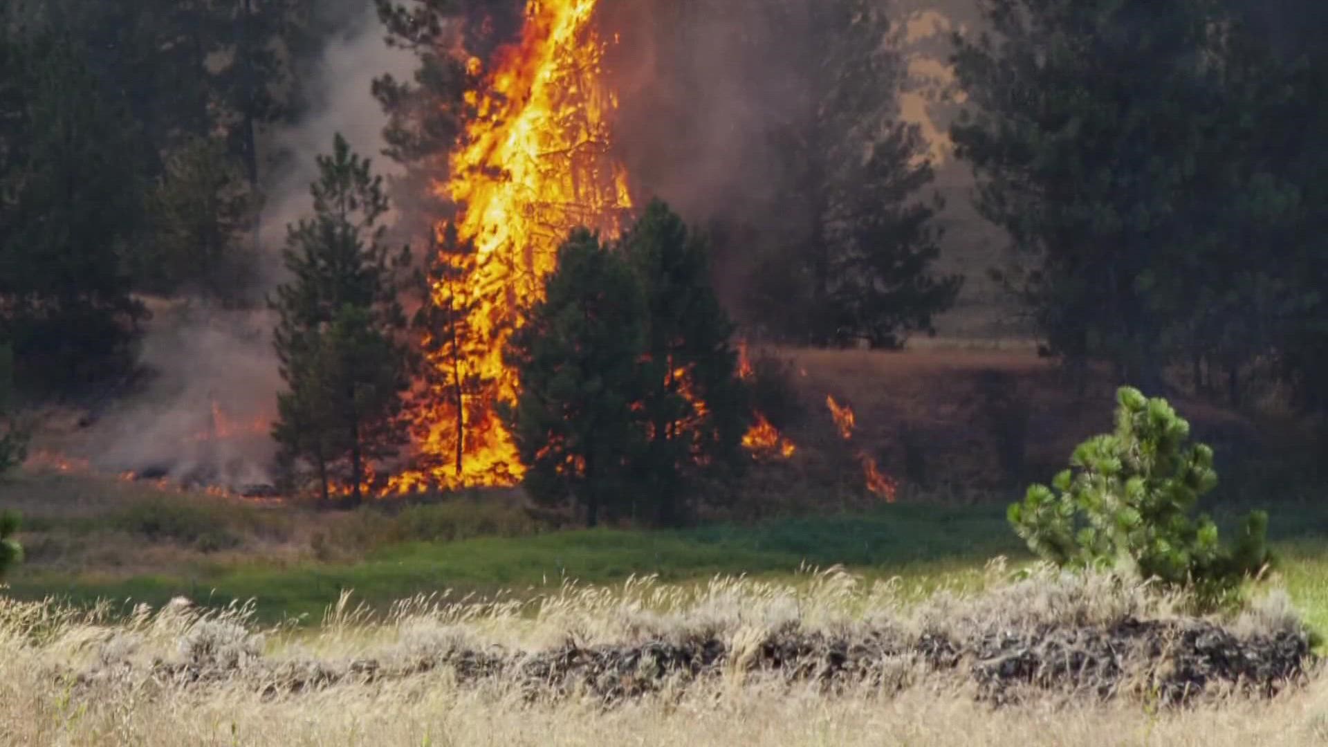
SPOKANE, Wash. — Several fires are burning across the state of Washington, prompting various responses from state emergency management crews.
Below you will find details on each fire.
Mohr Canyon Fire

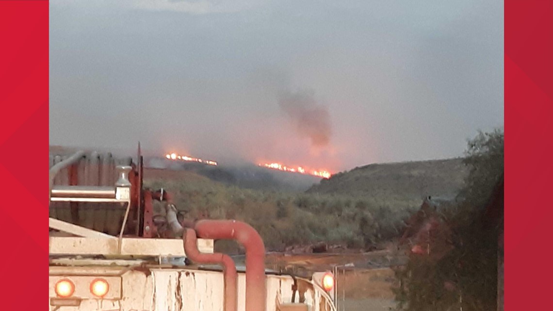
- Location: Douglas County, Wash,
- Date started: Aug. 8, 2022
- Acres burned: 3,600
- Containment: Unknown
- Current evacuations: Level 1 evacuations for Wagon Road and Palisades Road, near Waterville.
- Cause of fire: Under investigation
For more information, click here.
Riparia Fire

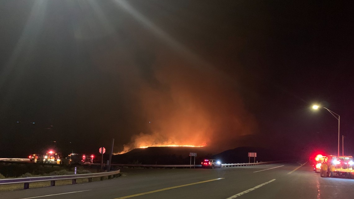
- Location: Near Ridpath Road south of Hay
- Date started: August 4, 2022
- Acres burned: 5,680
- Containment: 100%
- Current evacuations: No evacuations
- Cause of fire: Under investigation
For more information, click here.
Lind Fire

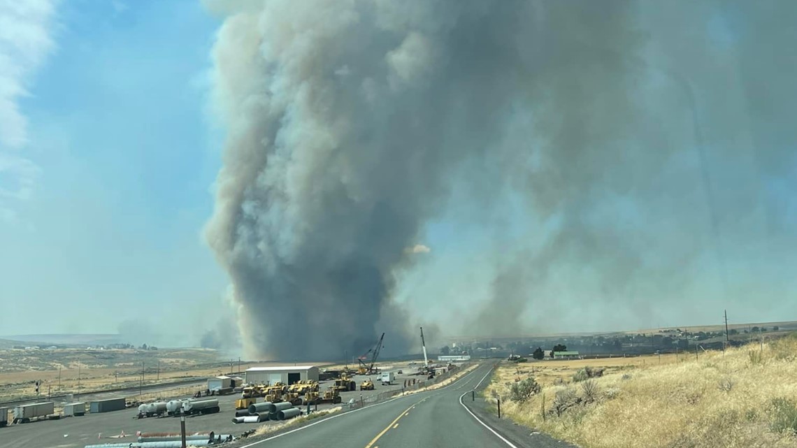
- Location: 3 miles south of Lind
- Date started: August 4, 2022, 11:45 a.m.
- Acres burned: 2,000
- Containment: 100%
- Current evacuations: No evacuations
- Cause of fire: Under investigation
For more information, click here.
Williams Lake Fire

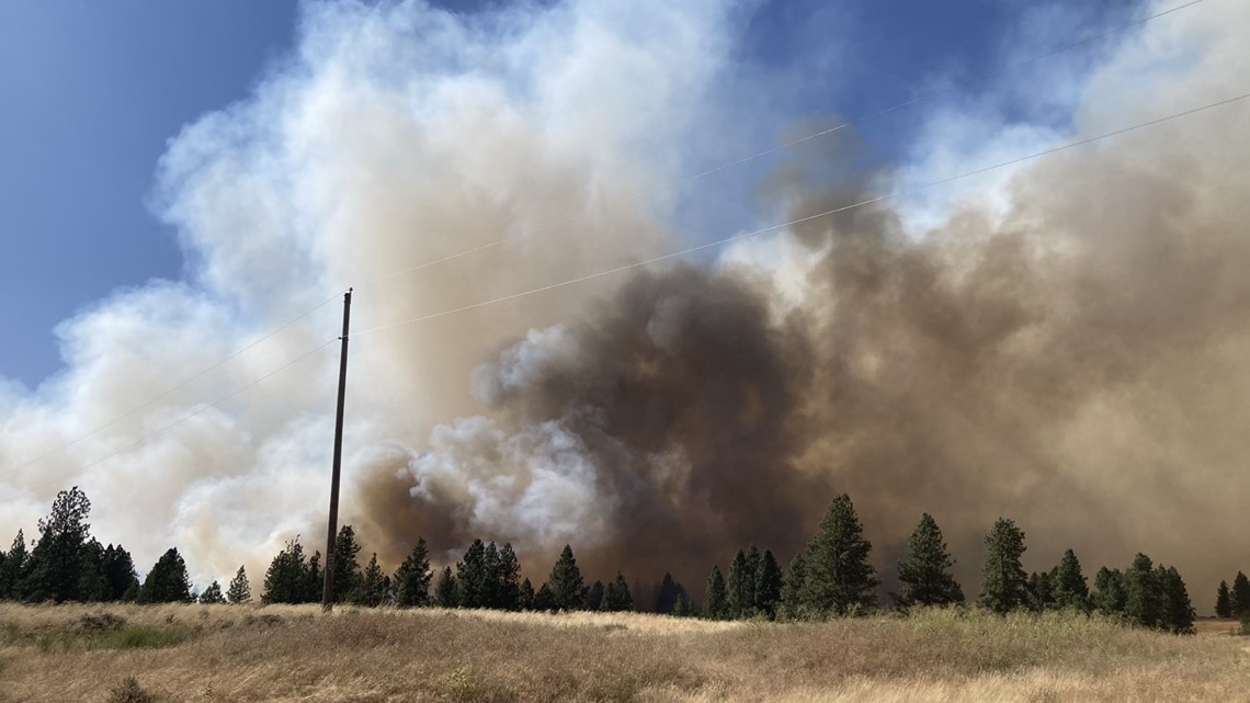
- Location: Williams Lake Road in Cheney
- Date started: August 3, 2022, 2:34 p.m.
- Acres burned: 1,868
- Containment: 80%
- Current evacuations: No evacuations
- Cause of fire: Under investigation
For more information, click here.
Vantage Highway Fire

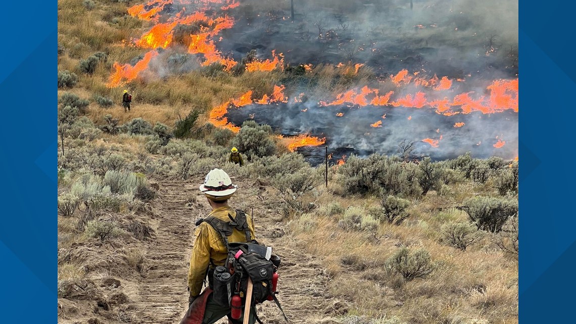
- Location: Near Vantage Highway in Kittitas County
- Date started: August 1, 2022
- Acres burned: 32,284
- Containment: 75%
- Current evacuations: No evacuations
- Cause of fire: Undetermined
For more information, click here.
Cow Canyon Fire

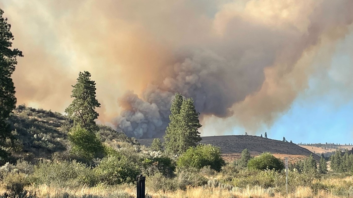
- Location: 12 miles southwest of Ellensburg
- Date started: August 3, 2022, 2:45 p.m.
- Acres burned: 5,746
- Containment: 30%
- Current evacuations: A level 1 evacuation is in place for 1.5-mile radius from Malloy Road and North Wenas Road.
- Cause of fire: Under investigation
White River Fire
- Location: Sears Creek area of the White River drainage, approximately 14 miles northwest of Plain
- Date started: August 11, 2022,
- Acres burned: 516
- Containment: 0%
- Current evacuations: Level 3 Evacuations for Sears Creek Road, Level 2 Evacuations for White River Road
- Cause of fire: Lightning
For more information click here.

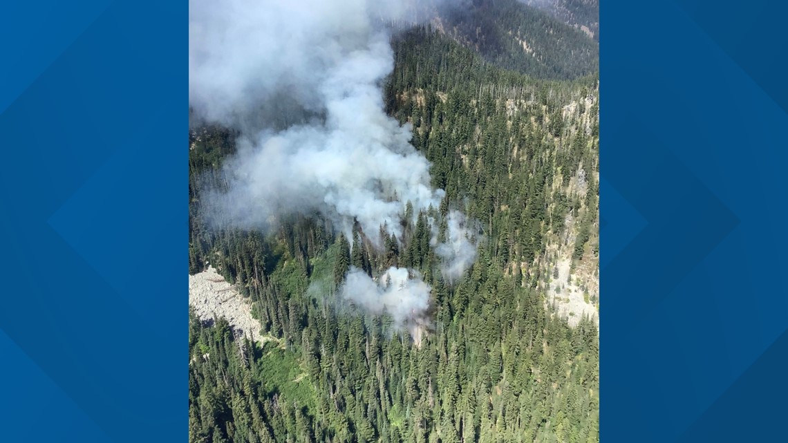
Irving Peak Fire
- Location: Approximately 16 miles northwest of Plain
- Date started: August 11, 2022,
- Acres burned: 160
- Containment: 0%
- Current evacuations: Level 1 Evacuations for Little Wenatchee Road
- Cause of fire: Lightning
For more information click here.

DOWNLOAD THE KREM SMARTPHONE APP
DOWNLOAD FOR IPHONE HERE | DOWNLOAD FOR ANDROID HERE
HOW TO ADD THE KREM+ APP TO YOUR STREAMING DEVICE
ROKU: add the channel from the ROKU store or by searching for KREM in the Channel Store.
Fire TV: search for "KREM" to find the free app to add to your account. Another option for Fire TV is to have the app delivered directly to your Fire TV through Amazon.
To report a typo or grammatical error, please email webspokane@krem.com.

