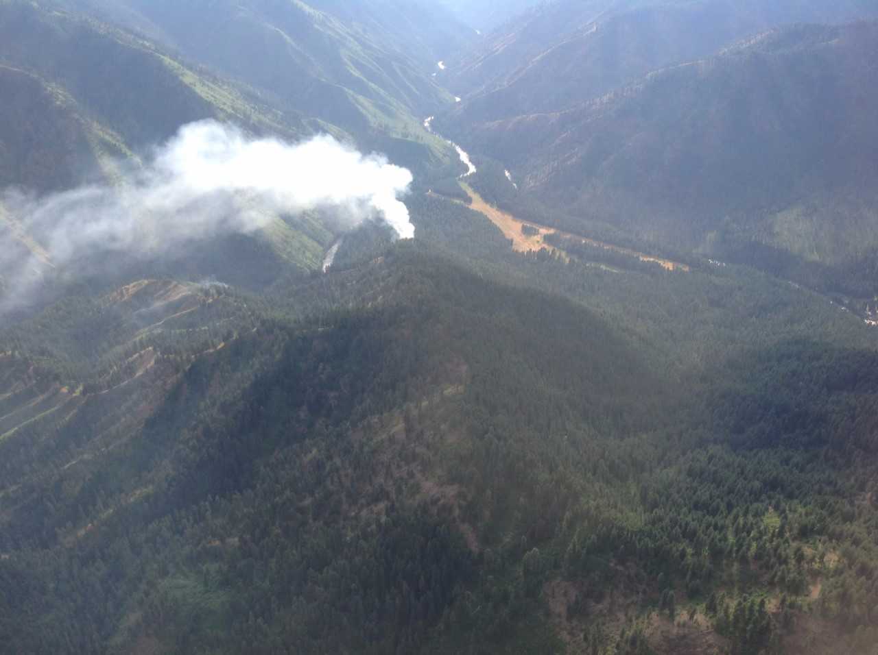
NEZ PERCE, Idaho – The Nez Perce County Sheriff’s Office is investigating lightning fires in the Nez Perce-Clearwater National Forests.
Currently, 18 fires have been detected on the Lochsa/Powell, Moose Creek, and Red River Ranger Districts with additional possible starts continuing to be reported. Weather advisories are currently in effect and storm cells are expected to cross the area this afternoon, with lightning, wind, sporadic rain and possible hail, according to a press release from the Forest Service.
Forest and Fire Management Staff considered the long-term effects of smoke in their decision to manage fires in the wilderness and roadless areas. “We are very sensitive to health impacts due to wildfire smoke and take measures to reduce the long duration fires when we can,” said Cheryl Probert, Forest Supervisor. Fire managers are working with air quality specialists to monitor smoke and potential impacts to communities. In addition to smoke impacts, values at risk, availability of resources, and location were considered in determining suppression actions of fires not threatening communities, said the press release.
Firefighter and public safety is the number one priority in wildland fire management and emergency response. Fire activity across the nation has significantly increased and the National Preparedness Level (PL) is currently 4. PL 4 means that three or more Geographic Areas are experiencing wildland fire incidents requiring Type 1 and 2 Incident Management Teams. Competition exists for resources between Geographic Areas. Nationally, 60% of Type 1 and 2 Incident Management Teams and crews are committed to wildland fire incidents.
Current fire status for fires by district:
Lochsa/Powell:
Fires currently staffed on the Lochsa/Powell District include the Parachute-0.25 acres approximately 4 miles northeast of Powell, Storm–0.25 acres, Cherokee – 3 acres, Twin #322–0.25 acres, and Round Top 1–0.5 acres all located approximately 5 miles south of Lolo Pass, Checkerboard–5.25 acres located near the Idaho/Montana border approximately 5 miles east of Lolo Pass, Pappoose–5-7 acres located approximately 4 miles northwest of Powell, and Brushy– 15 acres, located north of Brushy Fork about 4 miles south of Lolo Pass.
The fires on the Lochsa/Powell Ranger District with the exception of the Hidden and Maud fires are located in the area referenced as the checkerboard with adjacent privately owned tracts of land.
The Hidden fire (approximately 1 acre) is located in the Selway-Bitterroot Wilderness, currently unstaffed and is being managed for resource benefits. The Maud fire (approximately .25 acres) located in a roadless area south of Beaver Ridge is also being managed for resource benefits and is currently unstaffed.
For more information on current fire status or closures for public safety due to wildfire, please call (208) 942-3113.
Moose Creek Ranger District:
Moose Creek 1 fire is 7 acres and is .25 miles east and southeast of Moose Creek Ranger Station. Moose Creek 2 and 3 fires have merged and are estimated to be 2 acres located southwest of the Moose Creek Runway. The Mink Peak fire is on Mink Peak and is approximately .5 acres in size. The Lone Pine fire is .25 miles west of Lone Pine Point in Marten Creek and is .5 acres in size. The Lone Pine fires is 1.5 miles south of the Three Links bridges. The Elbow Bend fire is one mile south of Roll Point and 1.8 miles northeast of Elbow Bend. The fire is located within the 2015 Roll fire perimeter.
All wilderness fires were started by lightning and will be managed for resource benefits.
For more information on current fire status or closures for public safety due to wildfire, please call (208) 926-4258.
Red River Ranger District:
Fires currently being managed for resource benefits on the Red River Ranger District, are located approximately 14 miles east of Red River Ranger Station. The Ladder fire is approximately 2 acres, Rattlesnake Point fire is approximately 2 acres, and the Bleak fire, approximately 10 acres located 3.5 miles southwest of Dry Saddle near the Magruder Road.
For more information on current fire status or closures for public safety due to wildfire, please call (208) 842-2245.


