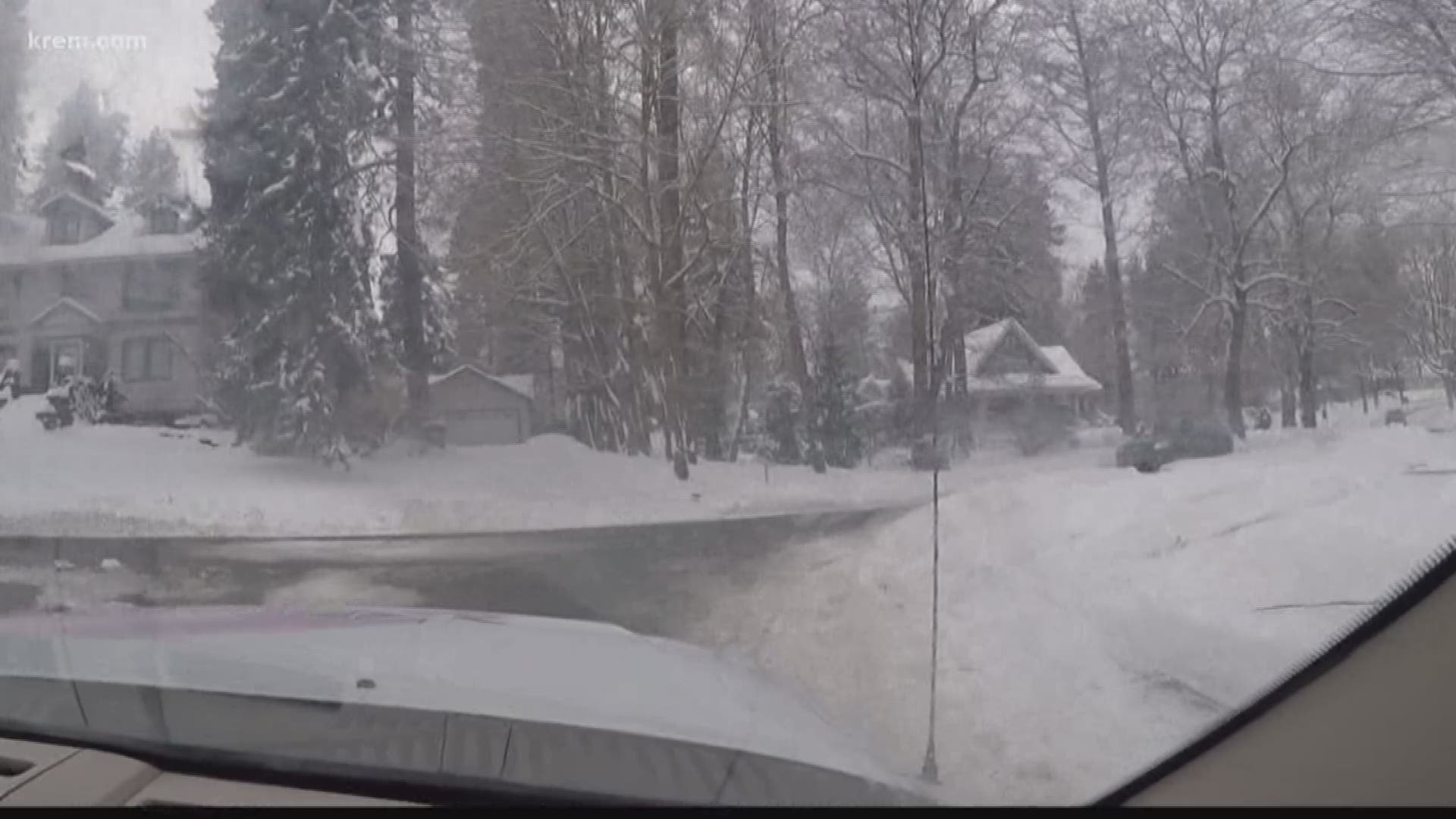
SPOKANE, Wash. — February snow in Spokane has far and beyond outperformed expectations, with more than 20 inches falling so far this month through Valentine's Day.
That alone is already more than five times the average through mid-February, and all this snow may still have some benefits and hazards in the weeks to come.
Should it all melt at once or if we see ice jams form on any rivers, we could see some minor flooding. But that doesn't seem very likely for two reasons.
One, ice jams are more common in March and April.
And two, all that snow we've seen this month is barely more than an inch of water equivalent.
That's right, if it rained instead of snowed, it would amount to only a little more than an inch of rain, which hardly should be enough to result in flooding issues.
The temperature outlook for the rest of the month is still well below average, and on days that are above freezing, and nights below, that typically results in the formation of black ice by morning, particularly on bridges, overpasses, and side streets.
But the snow pack does offer beneficial moisture to the area, as Spokane is still running "Abnormally Dry," or a category below drought stage. And the recent snow will definitely help a bit.
-KREM 2 Meteorologist Thomas Patrick

