SPOKANE, Wash. — Researchers at Washington State University in Spokane have developed a tool tracking Spokane's healthiest neighborhoods based on social conditions.
It's not about the people that live each neighborhood but it's all about what's available in them. One neighborhood may score better in one category than another.
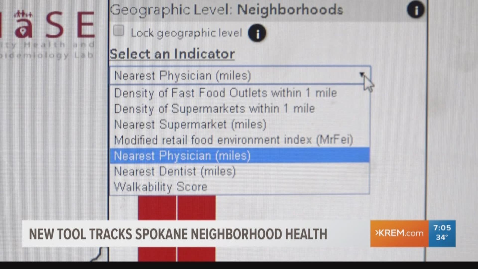
To measure healthy living, several health indicators are listed: Density of fast food places within a mile, density of supermarkets within a mile, nearest supermarkets, retail food environment index, nearest physician, nearest dentist and walkability.
Residents are then able to see where their neighborhood shines and where their neighborhood is lacking.
Dr. Ofer Amram said the purpose of the tool is to promote healthy living within Spokane County.
"We are hoping that policymakers will use this tool for planning purposes," he said. "If you want to look before you purchase a new home, or move to a new rental apartment, look at your specific address that you were planning to live in and that particular neighborhood and look [to see] how healthy it is."
In the future, Dr. Amram said the researchers hope to build an index to combine all the health indicators so people will be able to tell, overall, which neighborhoods stand out as being more healthy in general based on access.


