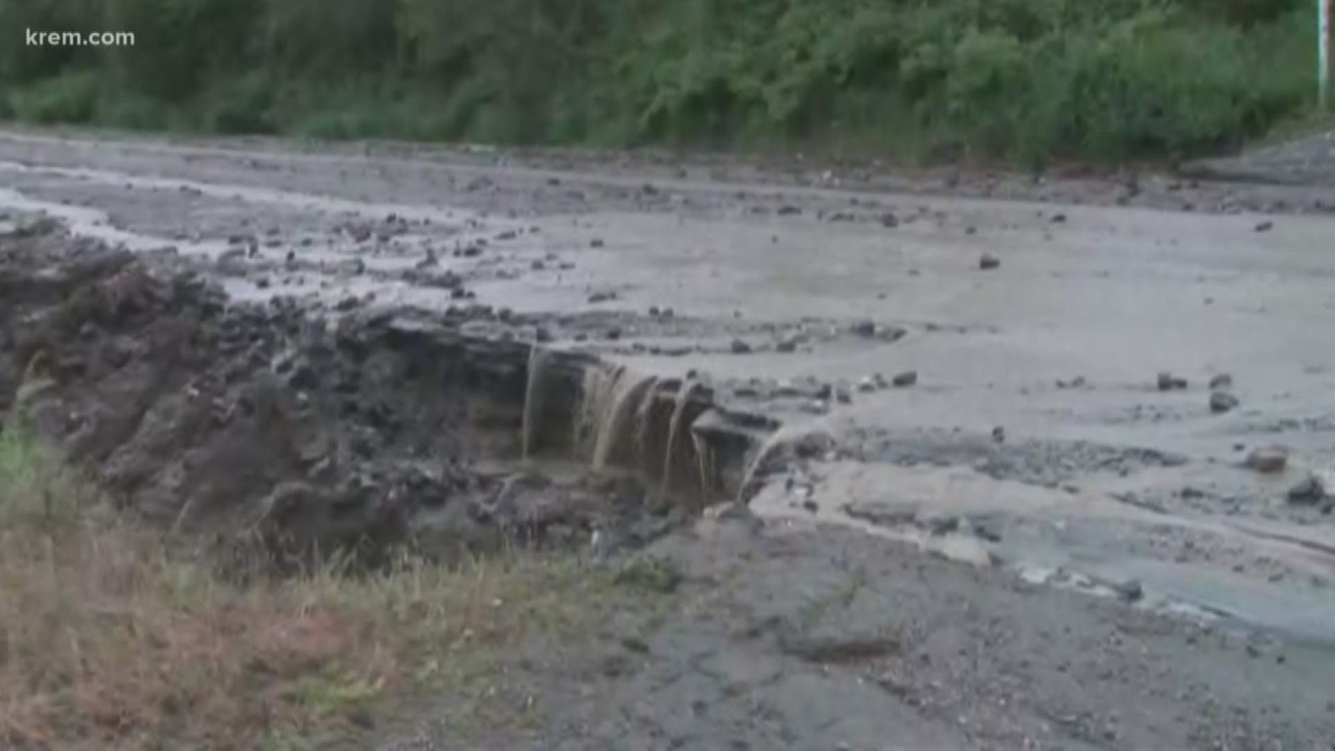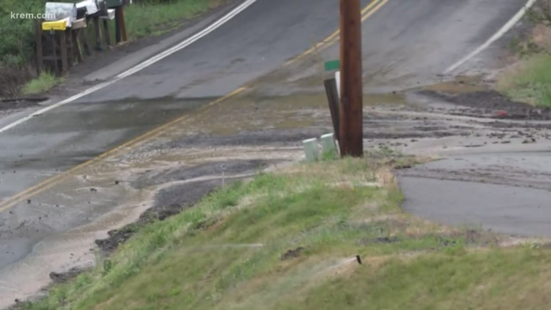
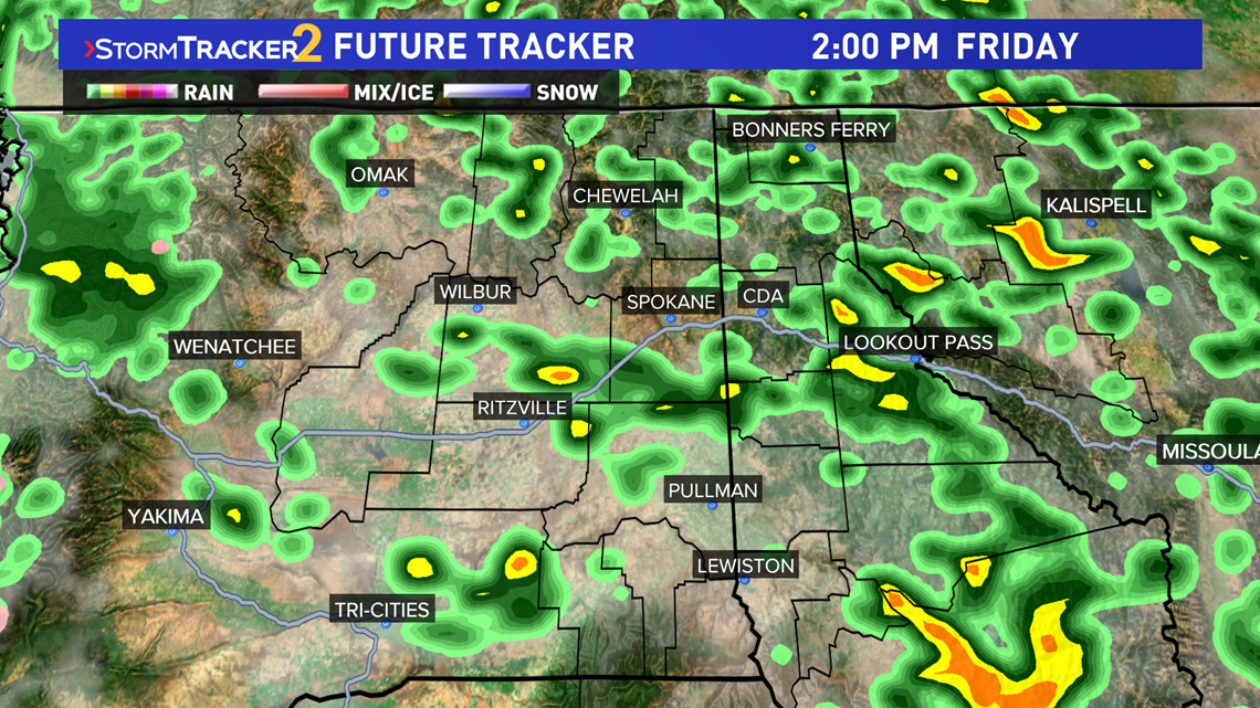
SPOKANE, Wash. — After a thunderstorm warning was issued for the Spokane area Friday, a "Hazardous Weather Outlook" is expected throughout the Inland Northwest for Memorial Day weekend.
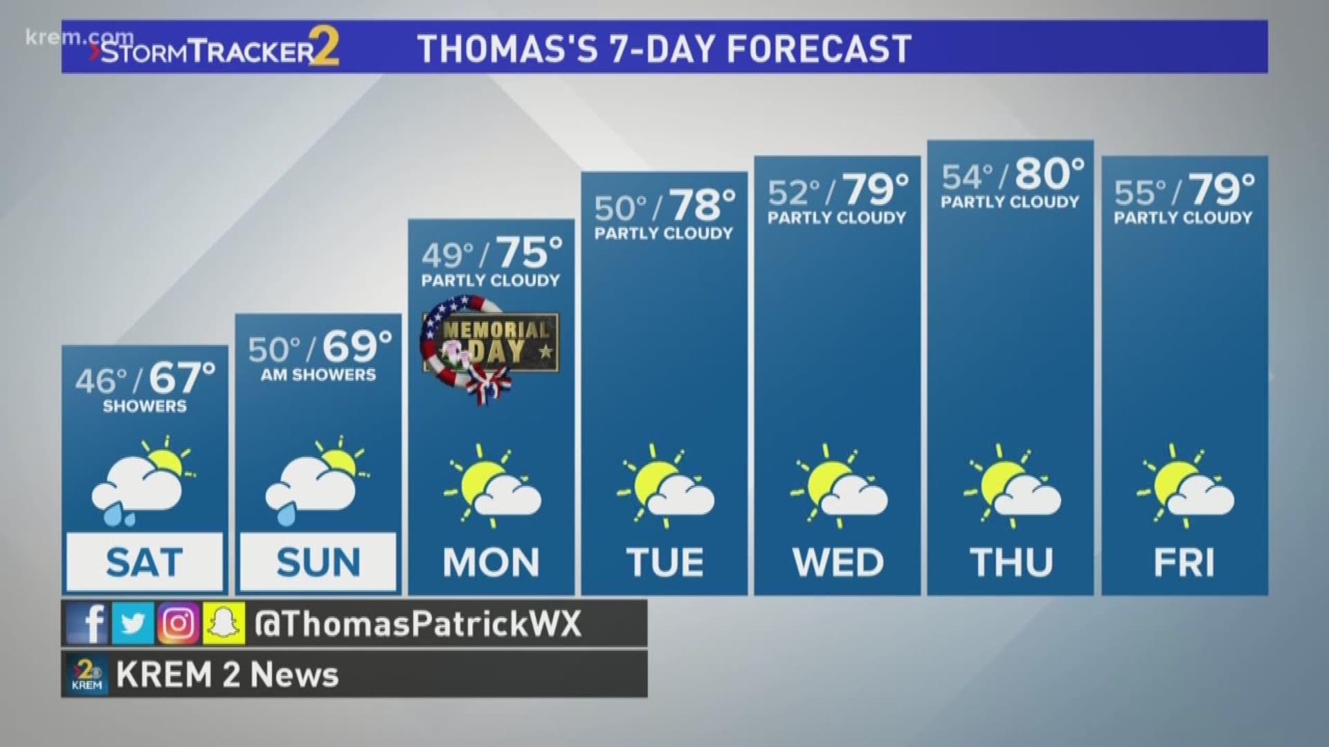
Saturday will not see hazardous weather, and overall rainfall totals for Saturday and Sunday are expected to be minor in the Spokane area, less than a quarter of an inch, with several models putting down a tenth of an inch or less.
Gusty northeast winds will develop overnight and continue into Sunday. Wind gusts of 30 to 40 mph will be possible with higher gusts on exposed ridgetops. Minor tree damage and isolated power outages are possible.
Memorial Day weekend is trending wetter, with showers still in the Inland Northwest throughout Saturday, and now Sunday morning still has showers in the forecast. This will keep high temperatures slightly below normal, in the mid to upper 60s.
By Monday, much of the wet weather seen over the weekend will clear out, leading to partly cloudy skies and warmer temperatures in the low 70s.